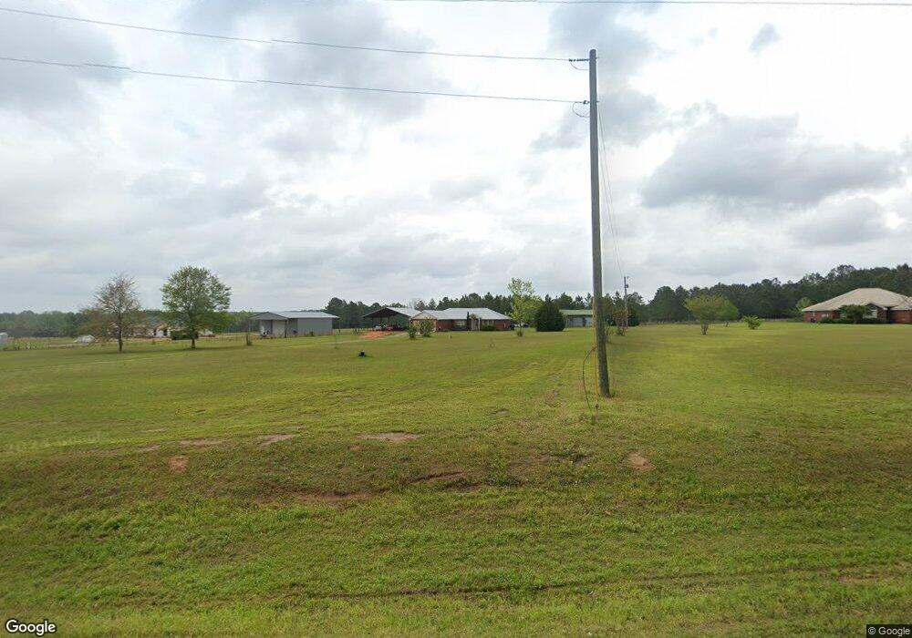
Estimated Value: $344,592 - $406,000
3
Beds
2
Baths
1,905
Sq Ft
$200/Sq Ft
Est. Value
About This Home
This home is located at 1251 Sexton Dr, Baker, FL 32531 and is currently estimated at $381,148, approximately $200 per square foot. 1251 Sexton Dr is a home located in Okaloosa County with nearby schools including Baker School.
Ownership History
Date
Name
Owned For
Owner Type
Purchase Details
Closed on
Dec 13, 2002
Sold by
David R Smith Development Inc
Bought by
Crinklaw Patrick L and Crinklaw Angela E
Current Estimated Value
Home Financials for this Owner
Home Financials are based on the most recent Mortgage that was taken out on this home.
Original Mortgage
$94,185
Interest Rate
6.08%
Purchase Details
Closed on
May 3, 2002
Sold by
Crinklaw Angela R and Ellis Angela R
Bought by
David R Smith Development Inc
Home Financials for this Owner
Home Financials are based on the most recent Mortgage that was taken out on this home.
Original Mortgage
$91,248
Interest Rate
7.16%
Mortgage Type
Construction
Create a Home Valuation Report for This Property
The Home Valuation Report is an in-depth analysis detailing your home's value as well as a comparison with similar homes in the area
Purchase History
| Date | Buyer | Sale Price | Title Company |
|---|---|---|---|
| Crinklaw Patrick L | $92,800 | First Natl Land Title Co Inc | |
| David R Smith Development Inc | $11,700 | First Natl Land Title Co Inc |
Source: Public Records
Mortgage History
| Date | Status | Borrower | Loan Amount |
|---|---|---|---|
| Previous Owner | Crinklaw Patrick L | $94,185 | |
| Previous Owner | David R Smith Development Inc | $91,248 |
Source: Public Records
Tax History
| Year | Tax Paid | Tax Assessment Tax Assessment Total Assessment is a certain percentage of the fair market value that is determined by local assessors to be the total taxable value of land and additions on the property. | Land | Improvement |
|---|---|---|---|---|
| 2025 | $1,227 | $152,685 | -- | -- |
| 2024 | $1,147 | $148,382 | -- | -- |
| 2023 | $1,147 | $144,060 | -- | -- |
| 2022 | $1,118 | $139,864 | $0 | $0 |
| 2021 | $1,113 | $135,790 | $0 | $0 |
| 2020 | $1,070 | $131,105 | $0 | $0 |
| 2019 | $1,049 | $128,157 | $0 | $0 |
| 2018 | $1,040 | $125,767 | $0 | $0 |
| 2017 | $1,032 | $123,180 | $0 | $0 |
| 2016 | $769 | $98,629 | $0 | $0 |
| 2015 | $785 | $97,943 | $0 | $0 |
| 2014 | $787 | $97,260 | $0 | $0 |
Source: Public Records
Map
Nearby Homes
- 1318 John Riley Barnhill Rd
- 0000 N Sherman Kennedy
- 0 Homestead Rd
- 924 Hwy C4a
- 1704 Cobb Rd
- 6249 Highway 4 W
- 6251 Highway 4 W
- 1424 E F Sanford Rd
- 5811 Monroe St
- 1495 Mccauley Rd
- 3.8+/- AC Cotton Creek Rd
- TBD Will Henry Ln
- 1921 Cotton Creek Rd
- 1330 Jackson St
- 1332 Jackson St
- 6224 Old River Rd
- 1953 Cotton Creek Rd
- 1509 Long Needle Ct
- 5609 Price Plantation Rd
- 6064 Buck Ward Rd
- 1257 Sexton Dr
- 1263 Sexton Dr
- 1252 Sexton Dr
- 1268 Sexton Dr
- 1262 Sexton Dr
- 6422 William Gary Johnson Rd
- 6432 William Gary Johnson Rd
- 1303 Sexton Dr
- 6440 William Gary Johnson Rd
- 1210 Sexton Dr
- 1 Ac-A William Gary Johnson Rd
- 6448 William Gary Johnson Rd
- 6364 William Gary Johnson Rd
- 1201 Sexton Dr
- 6490 William Gary Johnson Rd
- 6326 William Gary Johnson Rd
- 1344 Sexton Dr
- 6323 William Gary Johnson Rd
- 6494 William Gary Johnson Rd
- 6302 William Gary Johnson Rd
