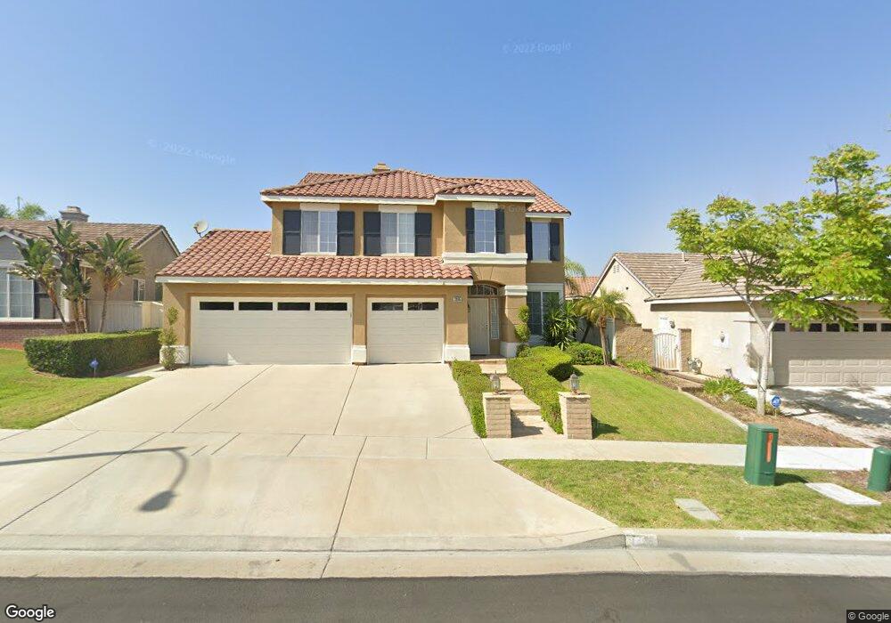
1252 Mirasol Ln Unit 99 Corona, CA 92879
Corona Ranch NeighborhoodEstimated Value: $651,778 - $696,000
3
Beds
3
Baths
1,374
Sq Ft
$495/Sq Ft
Est. Value
About This Home
This home is located at 1252 Mirasol Ln Unit 99, Corona, CA 92879 and is currently estimated at $680,695, approximately $495 per square foot. 1252 Mirasol Ln Unit 99 is a home located in Riverside County with nearby schools including Corona Ranch Elementary School, Auburndale Intermediate, and Norco High School.
Ownership History
Date
Name
Owned For
Owner Type
Purchase Details
Closed on
Nov 15, 1995
Sold by
M J Brock & Sons Inc
Bought by
Simmons Edwin and Simmons Lorie
Current Estimated Value
Home Financials for this Owner
Home Financials are based on the most recent Mortgage that was taken out on this home.
Original Mortgage
$141,100
Outstanding Balance
$1,930
Interest Rate
7.37%
Mortgage Type
FHA
Estimated Equity
$678,765
Create a Home Valuation Report for This Property
The Home Valuation Report is an in-depth analysis detailing your home's value as well as a comparison with similar homes in the area
Home Values in the Area
Average Home Value in this Area
Purchase History
| Date | Buyer | Sale Price | Title Company |
|---|---|---|---|
| Simmons Edwin | $147,000 | First American Title Ins Co |
Source: Public Records
Mortgage History
| Date | Status | Borrower | Loan Amount |
|---|---|---|---|
| Open | Simmons Edwin | $141,100 |
Source: Public Records
Tax History
| Year | Tax Paid | Tax Assessment Tax Assessment Total Assessment is a certain percentage of the fair market value that is determined by local assessors to be the total taxable value of land and additions on the property. | Land | Improvement |
|---|---|---|---|---|
| 2025 | $2,868 | $243,998 | $66,424 | $177,574 |
| 2023 | $2,868 | $234,526 | $63,846 | $170,680 |
| 2022 | $2,784 | $229,929 | $62,595 | $167,334 |
| 2021 | $2,733 | $225,421 | $61,368 | $164,053 |
| 2020 | $2,705 | $223,110 | $60,739 | $162,371 |
| 2019 | $2,647 | $218,737 | $59,549 | $159,188 |
| 2018 | $2,741 | $214,449 | $58,383 | $156,066 |
| 2017 | $3,323 | $210,245 | $57,239 | $153,006 |
| 2016 | $3,296 | $206,123 | $56,117 | $150,006 |
| 2015 | $3,230 | $203,028 | $55,275 | $147,753 |
| 2014 | $3,205 | $199,053 | $54,194 | $144,859 |
Source: Public Records
Map
Nearby Homes
- 867 Oso Dr
- 1340 Goldeneagle Dr
- 729 La Docena Ln
- 703 Allen Dr
- 1204 Thoroughbred Ln
- 747 Ochee Cir
- 748 Navarro Dr
- 1445 Del Norte Dr
- 665 Barbre Cir
- 928 Allegre Dr
- 822 Corona Ave
- 515 Newhall Dr
- 1500 Corona Ave
- 458 Termino Ave
- 1025 Aquino Cir
- 768 Samantha Cir
- 1455 Cresta Rd
- 519 Cedarbrook Ln
- 493 Corona Ave
- 1454 Cresta Rd
- 1258 Mirasol Ln
- 1240 Mirasol Ln Unit 97
- 909 Palermo Ln
- 908 Palermo Ln
- 1255 La Tremolina Ln
- 1264 Mirasol Ln Unit 155
- 1265 La Tremolina Ln
- 1261 Mirasol Ln
- 1245 La Tremolina Ln
- 1267 Mirasol Ln Unit 137
- 1234 Mirasol Ln
- 1270 Mirasol Ln
- 1275 La Tremolina Ln
- 1235 La Tremolina Cir
- 1273 Mirasol Ln
- 920 Palermo Ln
- 1264 Mancero Cir Unit 141
- 1228 Mirasol Ln Unit 95
- 1276 Mirasol Ln
- 911 Mesa Alta Cir
Your Personal Tour Guide
Ask me questions while you tour the home.