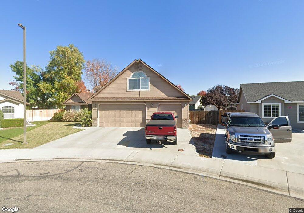
12522 W Norristown St Boise, ID 83709
Southwest Boise NeighborhoodEstimated Value: $425,000 - $472,000
3
Beds
2
Baths
1,735
Sq Ft
$261/Sq Ft
Est. Value
About This Home
This home is located at 12522 W Norristown St, Boise, ID 83709 and is currently estimated at $453,382, approximately $261 per square foot. 12522 W Norristown St is a home located in Ada County with nearby schools including Pepper Ridge Elementary, Lewis & Clark Middle School, and Centennial High School.
Ownership History
Date
Name
Owned For
Owner Type
Purchase Details
Closed on
Dec 2, 2011
Sold by
Swanson Scott M and Lister Julie A
Bought by
Wakefield Shawn L
Current Estimated Value
Home Financials for this Owner
Home Financials are based on the most recent Mortgage that was taken out on this home.
Original Mortgage
$77,000
Outstanding Balance
$52,800
Interest Rate
4.06%
Mortgage Type
New Conventional
Estimated Equity
$400,583
Purchase Details
Closed on
Jun 29, 2000
Sold by
Griffin David D and Griffin Diane H
Bought by
Thatcher Aaron E and Thatcher Katie J
Home Financials for this Owner
Home Financials are based on the most recent Mortgage that was taken out on this home.
Original Mortgage
$123,518
Interest Rate
8.67%
Mortgage Type
FHA
Purchase Details
Closed on
Apr 17, 2000
Sold by
Bilmar Inc
Bought by
Griffin David D and Griffin Diane H
Create a Home Valuation Report for This Property
The Home Valuation Report is an in-depth analysis detailing your home's value as well as a comparison with similar homes in the area
Home Values in the Area
Average Home Value in this Area
Purchase History
| Date | Buyer | Sale Price | Title Company |
|---|---|---|---|
| Wakefield Shawn L | -- | Northwest Title Llc | |
| Thatcher Aaron E | -- | Alliance Title & Escrow Corp | |
| Griffin David D | -- | American Land Title Co |
Source: Public Records
Mortgage History
| Date | Status | Borrower | Loan Amount |
|---|---|---|---|
| Open | Wakefield Shawn L | $77,000 | |
| Previous Owner | Thatcher Aaron E | $123,518 |
Source: Public Records
Tax History Compared to Growth
Tax History
| Year | Tax Paid | Tax Assessment Tax Assessment Total Assessment is a certain percentage of the fair market value that is determined by local assessors to be the total taxable value of land and additions on the property. | Land | Improvement |
|---|---|---|---|---|
| 2025 | $1,864 | $412,900 | -- | -- |
| 2024 | $1,787 | $405,700 | -- | -- |
| 2023 | $1,787 | $380,600 | $0 | $0 |
| 2022 | $2,439 | $485,100 | $0 | $0 |
| 2021 | $2,357 | $392,800 | $0 | $0 |
| 2020 | $1,760 | $275,800 | $0 | $0 |
| 2019 | $2,224 | $273,200 | $0 | $0 |
| 2018 | $1,834 | $228,800 | $0 | $0 |
| 2017 | $1,573 | $203,300 | $0 | $0 |
| 2016 | $1,476 | $189,100 | $0 | $0 |
| 2015 | $1,373 | $182,000 | $0 | $0 |
| 2012 | -- | $128,200 | $0 | $0 |
Source: Public Records
Map
Nearby Homes
- 12410 W Lewisburg Dr
- 12152 W Lewisburg Ct
- 11829 W Camas St
- 330 S Winthrop Place
- 3970 E Overland Rd
- 4216 Woodmurra St
- 4202 Woodmurra St
- 4345 E Vacheron St
- 11683 W Aldershot St
- 1340 Jade Ave
- 1285 S Jade Ave
- 3820 E Overland Rd
- 4187 E Blueberry St
- 1132 S Amaya Ave
- 12158 W Silverking Ct
- 4132 E Silverking Ln
- 681 S Kiser Ave
- 1400 S Jade Ave
- 704 S Kiser Ave
- 11899 W Blueberry Ct
- 12544 W Norristown St
- 12472 W Norristown St
- 12510 W Norristown St
- 12486 W Norristown St
- 12460 W Norristown St
- 12548 W Norristown St
- 12566 W Norristown St
- 12572 W Norristown St
- 12588 W Lewisburg Dr
- 12448 W Norristown St
- 12491 W Norristown St
- 12598 W Norristown St
- 12469 W Norristown St
- 12424 W Norristown St
- 12436 W Norristown St
- 12556 W Lewisburg Dr
- 12573 W Norristown St
- 12584 W Norristown St
- 12447 W Norristown St
- 12537 W