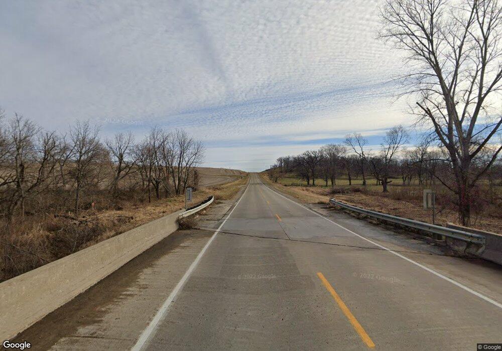
12535 Highway F17 W Collins, IA 50055
Estimated Value: $116,454 - $723,000
3
Beds
3
Baths
2,372
Sq Ft
$143/Sq Ft
Est. Value
About This Home
This home is located at 12535 Highway F17 W, Collins, IA 50055 and is currently estimated at $339,864, approximately $143 per square foot. 12535 Highway F17 W is a home located in Jasper County with nearby schools including Colfax-Mingo Elementary School and Colfax-Mingo High School.
Ownership History
Date
Name
Owned For
Owner Type
Purchase Details
Closed on
Dec 31, 2024
Sold by
Beckstone Partners Llc and Desfined Llc
Bought by
Kain Dennis
Current Estimated Value
Purchase Details
Closed on
Feb 21, 2014
Sold by
The Equity Trust Co
Bought by
Calhoun Patrick and Calhoun Pat
Home Financials for this Owner
Home Financials are based on the most recent Mortgage that was taken out on this home.
Original Mortgage
$125,000
Interest Rate
4.39%
Mortgage Type
New Conventional
Purchase Details
Closed on
Dec 13, 2011
Sold by
Timmins Neil J
Bought by
Equity Trust Company Sustodian Fbo Neil
Create a Home Valuation Report for This Property
The Home Valuation Report is an in-depth analysis detailing your home's value as well as a comparison with similar homes in the area
Home Values in the Area
Average Home Value in this Area
Purchase History
| Date | Buyer | Sale Price | Title Company |
|---|---|---|---|
| Kain Dennis | -- | None Listed On Document | |
| Kain Dennis | -- | None Listed On Document | |
| Calhoun Patrick | $80,000 | None Available | |
| Equity Trust Company Sustodian Fbo Neil | -- | None Available |
Source: Public Records
Mortgage History
| Date | Status | Borrower | Loan Amount |
|---|---|---|---|
| Previous Owner | Calhoun Patrick | $125,000 |
Source: Public Records
Tax History Compared to Growth
Tax History
| Year | Tax Paid | Tax Assessment Tax Assessment Total Assessment is a certain percentage of the fair market value that is determined by local assessors to be the total taxable value of land and additions on the property. | Land | Improvement |
|---|---|---|---|---|
| 2025 | -- | $36,000 | $36,000 | $0 |
| 2024 | -- | $25,520 | $0 | $0 |
| 2023 | -- | $25,520 | $0 | $0 |
| 2022 | $0 | $25,520 | $0 | $0 |
| 2021 | $0 | $25,520 | $0 | $0 |
| 2020 | $0 | $94,970 | $0 | $0 |
| 2019 | $1,524 | $84,640 | $0 | $0 |
| 2018 | $1,524 | $84,640 | $0 | $0 |
| 2017 | $1,528 | $84,640 | $0 | $0 |
| 2016 | $1,528 | $84,640 | $0 | $0 |
| 2015 | $1,528 | $83,620 | $0 | $0 |
| 2014 | $1,414 | $83,620 | $0 | $0 |
Source: Public Records
Map
Nearby Homes
- 12485 Highway F17 W
- 72563 340th St
- 114 S Station St
- 105 Everett Cir
- 103 Everett Cir
- 303 S Station St
- 0000 W 96th St N
- 14039 NE 112th St
- 12210 N 59th Ave W
- 12227 N 59th Ave W
- TBD NE 134th Ave
- 5768 W 148th St N
- 10803 NE 118th Ave
- 6839 Center St
- 33975 663rd Ave
- 5280 Fairview Ln
- 5460 Fairview Ln
- 5220 Fairview Ln
- 5397 Fairview Ln
- 5527 Fairview Ln
- 12511 Highway F17 W
- 12615 N 91st Ave W
- 12675 N 91st Ave W
- 12829 Highway F17 W
- 12829 Highway F17 W
- 12818 Highway F17 W
- 12210 Highway F17 W
- 9401 W 124th St N
- 8887 W 122nd St N
- 8894 W 122nd St N
- 8866 W 122nd St N
- 8844 W 122nd St N Unit A
- 8844 W 122nd St N
- 8750 W 122nd St N
- 8717 W 122nd St N
- 0 Hwy 65
- 8690 W 122nd St N
- 8690 W 122nd St N
- 11932 Highway F17 W
- 9718 W 124th St N
