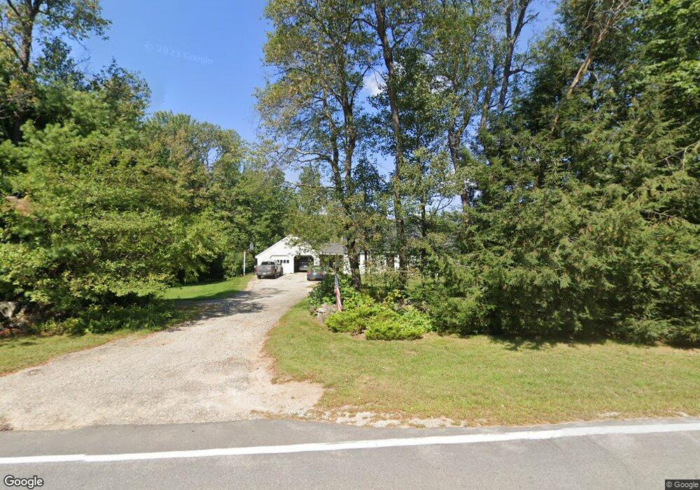
1254 New Hampton Rd Sanbornton, NH 03269
Sanbornton NeighborhoodEstimated Value: $478,836 - $531,000
3
Beds
2
Baths
1,899
Sq Ft
$266/Sq Ft
Est. Value
About This Home
This home is located at 1254 New Hampton Rd, Sanbornton, NH 03269 and is currently estimated at $504,279, approximately $265 per square foot. 1254 New Hampton Rd is a home located in Belknap County with nearby schools including Sanbornton Central School, Winnisquam Regional Middle School, and Winnisquam Regional High School.
Ownership History
Date
Name
Owned For
Owner Type
Purchase Details
Closed on
Aug 23, 2023
Sold by
Lewellen Arthur S and Lewellen Susan J
Bought by
Lewellen
Current Estimated Value
Purchase Details
Closed on
Oct 18, 1984
Bought by
Lewellen Arthur and Lewellen Susan
Create a Home Valuation Report for This Property
The Home Valuation Report is an in-depth analysis detailing your home's value as well as a comparison with similar homes in the area
Home Values in the Area
Average Home Value in this Area
Purchase History
| Date | Buyer | Sale Price | Title Company |
|---|---|---|---|
| Lewellen | -- | None Available | |
| Lewellen Arthur | -- | -- |
Source: Public Records
Tax History Compared to Growth
Tax History
| Year | Tax Paid | Tax Assessment Tax Assessment Total Assessment is a certain percentage of the fair market value that is determined by local assessors to be the total taxable value of land and additions on the property. | Land | Improvement |
|---|---|---|---|---|
| 2024 | $5,226 | $408,000 | $182,500 | $225,500 |
| 2023 | $4,912 | $408,000 | $182,500 | $225,500 |
| 2022 | $5,266 | $265,000 | $127,500 | $137,500 |
| 2021 | $4,871 | $265,000 | $127,500 | $137,500 |
| 2020 | $5,348 | $265,000 | $127,500 | $137,500 |
| 2019 | $5,093 | $265,000 | $127,500 | $137,500 |
| 2018 | $5,120 | $265,000 | $127,500 | $137,500 |
| 2017 | $4,520 | $191,300 | $72,500 | $118,800 |
| 2016 | $4,520 | $191,300 | $72,500 | $118,800 |
| 2015 | $4,576 | $190,600 | $72,500 | $118,100 |
| 2014 | $4,378 | $190,600 | $72,500 | $118,100 |
| 2013 | $4,378 | $190,600 | $72,500 | $118,100 |
Source: Public Records
Map
Nearby Homes
- 0 Perley Hill Rd Unit 85
- 0 Mountain Rd Unit 5064513
- 724 Sanborn Rd
- 314 Stage Rd
- 100 Cram Rd
- 0 Gulf Rd Unit 33 5061892
- 42 Hermit Lake Rd
- 118 Upper Bay Rd
- 00 Patriot Ln Unit 1
- 7 Simmons Ct
- 00 Hueber Dr
- 36 New Rd
- 92 Leavitt Rd
- 130 Upper Smith Rd
- 100 Lower Bay Rd
- 104 New Hampton Rd
- 9 Aspen Rd
- 0 Black Brook Rd Unit 5063655
- 82 Sunset Dr
- 0 Ashuelot Dr Unit 47