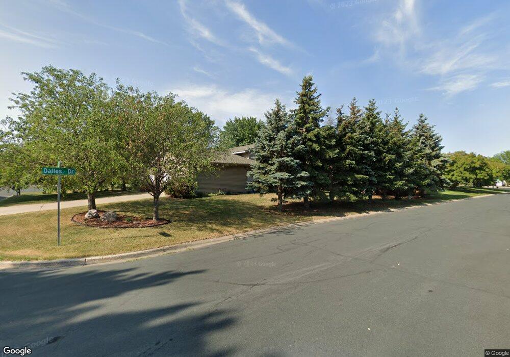
1254 Swift Cir Shakopee, MN 55379
Estimated Value: $407,382 - $430,000
4
Beds
2
Baths
1,492
Sq Ft
$283/Sq Ft
Est. Value
About This Home
This home is located at 1254 Swift Cir, Shakopee, MN 55379 and is currently estimated at $422,096, approximately $282 per square foot. 1254 Swift Cir is a home located in Scott County with nearby schools including Sun Path Elementary School, Shakopee West Middle School, and Shakopee Senior High School.
Ownership History
Date
Name
Owned For
Owner Type
Purchase Details
Closed on
Jun 28, 2018
Sold by
Elkaffas Mohamed N and Elkaffas Mervat M
Bought by
Okoth Katelyn and Okoth Felix
Current Estimated Value
Home Financials for this Owner
Home Financials are based on the most recent Mortgage that was taken out on this home.
Original Mortgage
$254,400
Outstanding Balance
$220,476
Interest Rate
4.5%
Mortgage Type
New Conventional
Estimated Equity
$201,620
Purchase Details
Closed on
Jun 30, 2004
Sold by
Koopmann John G and Koopmann Cynthia L
Bought by
Elraffas Mohamed N and Elraffas Mervat M
Create a Home Valuation Report for This Property
The Home Valuation Report is an in-depth analysis detailing your home's value as well as a comparison with similar homes in the area
Home Values in the Area
Average Home Value in this Area
Purchase History
| Date | Buyer | Sale Price | Title Company |
|---|---|---|---|
| Okoth Katelyn | $318,000 | Burnet Title | |
| Elraffas Mohamed N | $280,000 | -- |
Source: Public Records
Mortgage History
| Date | Status | Borrower | Loan Amount |
|---|---|---|---|
| Open | Okoth Katelyn | $254,400 |
Source: Public Records
Tax History
| Year | Tax Paid | Tax Assessment Tax Assessment Total Assessment is a certain percentage of the fair market value that is determined by local assessors to be the total taxable value of land and additions on the property. | Land | Improvement |
|---|---|---|---|---|
| 2025 | $4,072 | $394,300 | $152,700 | $241,600 |
| 2024 | $4,072 | $395,600 | $152,700 | $242,900 |
| 2023 | $4,346 | $383,100 | $157,600 | $225,500 |
| 2022 | $4,006 | $400,800 | $157,600 | $243,200 |
| 2021 | $3,512 | $322,100 | $124,000 | $198,100 |
| 2020 | $3,796 | $310,400 | $111,200 | $199,200 |
| 2019 | $3,908 | $296,300 | $93,200 | $203,100 |
| 2018 | $3,572 | $0 | $0 | $0 |
| 2016 | $3,156 | $0 | $0 | $0 |
| 2014 | -- | $0 | $0 | $0 |
Source: Public Records
Map
Nearby Homes
- 1928 Vierling Dr E
- 1076 Sibley St S
- 1969 Shakopee Ave E
- 951 Swift St S
- 2066 Mockingbird Ave
- 1667 Countryside Dr
- 1596 Chartreux Ave
- 1035 Providence Dr
- 1227 Elmwood Ave Unit 85
- 2574 Vierling Dr E
- 2350 Downing Ave
- 2351 Tyrone Dr
- 2399 Tyrone Dr
- 2423 Tyrone Dr
- 874 Gannon Dr Unit 94
- 849 Providence Dr
- 1777 Countryside Dr
- 2090 Parkway Ave Unit 31107
- 794 Cobblestone Way
- 2196 Flamingo Dr
- 1264 Swift Cir
- 1257 Swift Cir
- 1274 Swift Cir
- 1585 Dalles Dr
- 1608 Dalles Dr
- 1267 Swift Cir
- 1555 Dalles Dr
- 1284 Swift Cir
- 1605 Dalles Dr
- 1277 Swift Cir
- 1287 Swift Cir
- 1262 Miller St S
- 1252 Miller St S
- 1272 Miller St S
- 1625 Dalles Dr
- 1242 Miller St S
- 1282 Miller St S
- 1645 Dalles Dr
- 1292 Miller St S
- 1665 Dalles Dr
Your Personal Tour Guide
Ask me questions while you tour the home.