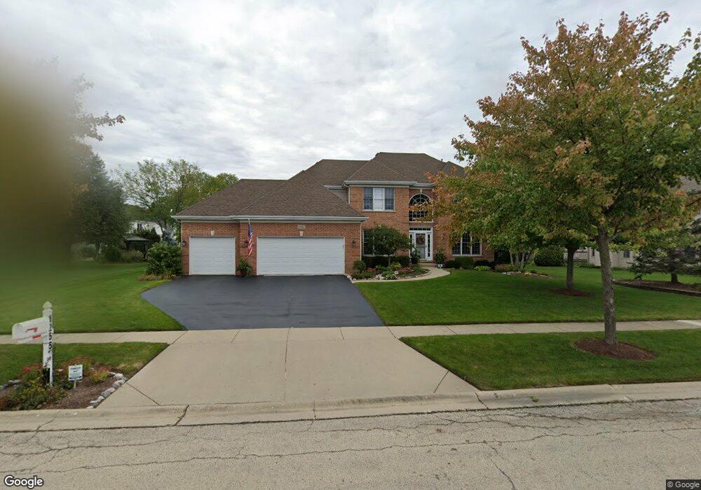
1255 Tunbridge Trail Algonquin, IL 60102
Estimated Value: $526,860 - $571,000
4
Beds
3
Baths
2,808
Sq Ft
$197/Sq Ft
Est. Value
About This Home
This home is located at 1255 Tunbridge Trail, Algonquin, IL 60102 and is currently estimated at $552,965, approximately $196 per square foot. 1255 Tunbridge Trail is a home located in McHenry County with nearby schools including Westfield Community School, Kenneth E Neubert Elementary School, and United Junior High School.
Ownership History
Date
Name
Owned For
Owner Type
Purchase Details
Closed on
Jul 30, 2003
Sold by
Firing Stephen J and Fireng Carolyn J
Bought by
Lunt Steven T and Lunt Linda A
Current Estimated Value
Home Financials for this Owner
Home Financials are based on the most recent Mortgage that was taken out on this home.
Original Mortgage
$300,000
Interest Rate
5.31%
Mortgage Type
Balloon
Purchase Details
Closed on
Oct 26, 2000
Sold by
Sites Timothy D and Sites Susan K
Bought by
Fireng Stephen J and Fireng Carolyn J
Home Financials for this Owner
Home Financials are based on the most recent Mortgage that was taken out on this home.
Original Mortgage
$283,000
Interest Rate
7.91%
Purchase Details
Closed on
Aug 13, 1997
Sold by
Legacy Fine Custom Homes Inc
Bought by
Sites Timothy D and Sites Susan K
Home Financials for this Owner
Home Financials are based on the most recent Mortgage that was taken out on this home.
Original Mortgage
$228,900
Interest Rate
7.71%
Create a Home Valuation Report for This Property
The Home Valuation Report is an in-depth analysis detailing your home's value as well as a comparison with similar homes in the area
Home Values in the Area
Average Home Value in this Area
Purchase History
| Date | Buyer | Sale Price | Title Company |
|---|---|---|---|
| Lunt Steven T | $380,000 | Republic Title Company | |
| Fireng Stephen J | $335,000 | Executive Land Title Inc | |
| Sites Timothy D | $286,500 | First American Title |
Source: Public Records
Mortgage History
| Date | Status | Borrower | Loan Amount |
|---|---|---|---|
| Closed | Lunt Steven T | $300,000 | |
| Previous Owner | Fireng Stephen J | $283,000 | |
| Previous Owner | Sites Timothy D | $228,900 |
Source: Public Records
Tax History Compared to Growth
Tax History
| Year | Tax Paid | Tax Assessment Tax Assessment Total Assessment is a certain percentage of the fair market value that is determined by local assessors to be the total taxable value of land and additions on the property. | Land | Improvement |
|---|---|---|---|---|
| 2024 | $11,991 | $169,280 | $31,102 | $138,178 |
| 2023 | $11,335 | $151,400 | $27,817 | $123,583 |
| 2022 | $10,333 | $131,493 | $35,894 | $95,599 |
| 2021 | $9,894 | $122,502 | $33,440 | $89,062 |
| 2020 | $9,623 | $118,165 | $32,256 | $85,909 |
| 2019 | $9,375 | $113,098 | $30,873 | $82,225 |
| 2018 | $8,910 | $104,478 | $28,520 | $75,958 |
| 2017 | $8,706 | $98,425 | $26,868 | $71,557 |
| 2016 | $8,551 | $92,314 | $25,200 | $67,114 |
| 2013 | -- | $84,258 | $23,508 | $60,750 |
Source: Public Records
Map
Nearby Homes
- 2235 Dawson Ln
- 2161 Burnham Ct
- 2248 Dawson Ln Unit 272
- 741 Regal Ln
- 661 Majestic Dr
- 000 County Line Rd
- 1820 Crofton Dr
- 2043 Peach Tree Ln Unit 4122
- 2101 Peach Tree Ln Unit 4094
- 1971 Peach Tree Ln
- 700 Fairfield Ln
- 30 Arbordale Ct Unit 4284
- 1900 Waverly Ln
- 2601 Harnish Dr
- 2611 Harnish Dr
- DOVER Plan at Grand Reserve - Algonquin
- CLIFTON Plan at Grand Reserve - Algonquin
- 2631 Harnish Dr
- 1 N Hubbard St
- SWC Talaga and Algonquin Rd
- 2080 Brindlewood Ln
- 2073 Tunbridge Trail
- 2070 Brindlewood Ln Unit 2
- 2063 Tunbridge Trail
- 2060 Brindlewood Ln
- 1240 Tunbridge Trail
- 1230 Tunbridge Trail
- 2053 Tunbridge Trail
- 1250 Tunbridge Trail
- 1220 Tunbridge Trail
- 2050 Brindlewood Ln
- 1275 Tunbridge Trail
- 1260 Tunbridge Trail Unit 2
- 2043 Tunbridge Trail
- 2082 Tunbridge Trail
- 2072 Tunbridge Trail
- 1210 Tunbridge Trail Unit 2
- 2040 Brindlewood Ln
- 2061 Brindlewood Ln
- 2062 Tunbridge Trail