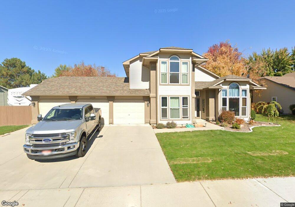
12550 W Braddock Dr Boise, ID 83709
West Boise NeighborhoodEstimated Value: $604,537 - $668,000
4
Beds
3
Baths
2,424
Sq Ft
$260/Sq Ft
Est. Value
About This Home
This home is located at 12550 W Braddock Dr, Boise, ID 83709 and is currently estimated at $630,384, approximately $260 per square foot. 12550 W Braddock Dr is a home located in Ada County with nearby schools including Ustick Elementary School, Lewis & Clark Middle School, and Centennial High School.
Ownership History
Date
Name
Owned For
Owner Type
Purchase Details
Closed on
Sep 21, 1998
Sold by
Kneip Paul F and Kneip Kellie
Bought by
Anderson Robert L and Anderson Barbara L
Current Estimated Value
Home Financials for this Owner
Home Financials are based on the most recent Mortgage that was taken out on this home.
Original Mortgage
$157,600
Outstanding Balance
$33,607
Interest Rate
6.88%
Mortgage Type
Purchase Money Mortgage
Estimated Equity
$596,777
Purchase Details
Closed on
Jul 7, 1997
Sold by
Gordon Larry Randall and Gordon Deborah R
Bought by
Kneip Paul F and Kneip Kellie
Home Financials for this Owner
Home Financials are based on the most recent Mortgage that was taken out on this home.
Original Mortgage
$182,850
Interest Rate
7.93%
Mortgage Type
Purchase Money Mortgage
Create a Home Valuation Report for This Property
The Home Valuation Report is an in-depth analysis detailing your home's value as well as a comparison with similar homes in the area
Home Values in the Area
Average Home Value in this Area
Purchase History
| Date | Buyer | Sale Price | Title Company |
|---|---|---|---|
| Anderson Robert L | -- | Transnation Title & Escrow | |
| Kneip Paul F | -- | Pioneer Title Company |
Source: Public Records
Mortgage History
| Date | Status | Borrower | Loan Amount |
|---|---|---|---|
| Open | Anderson Robert L | $157,600 | |
| Previous Owner | Kneip Paul F | $182,850 |
Source: Public Records
Tax History Compared to Growth
Tax History
| Year | Tax Paid | Tax Assessment Tax Assessment Total Assessment is a certain percentage of the fair market value that is determined by local assessors to be the total taxable value of land and additions on the property. | Land | Improvement |
|---|---|---|---|---|
| 2025 | $2,692 | $561,700 | -- | -- |
| 2024 | $2,641 | $530,500 | -- | -- |
| 2023 | $2,641 | $502,800 | $0 | $0 |
| 2022 | $3,378 | $623,700 | $0 | $0 |
| 2021 | $3,500 | $522,700 | $0 | $0 |
| 2020 | $2,735 | $373,200 | $0 | $0 |
| 2019 | $3,393 | $364,300 | $0 | $0 |
| 2018 | $2,875 | $301,900 | $0 | $0 |
| 2017 | $2,642 | $273,500 | $0 | $0 |
| 2016 | $2,549 | $258,000 | $0 | $0 |
| 2015 | $2,527 | $246,100 | $0 | $0 |
| 2012 | -- | $186,400 | $0 | $0 |
Source: Public Records
Map
Nearby Homes
- 713 S Winthrop Way
- 4195 E Woodmurra St
- 4181 Woodmurra St
- 11829 W Camas St
- 11683 W Aldershot St
- 704 S Kiser Ave
- 1285 S Jade Ave
- 1340 Jade Ave
- 3970 E Overland Rd
- 3160 E Springwood Dr
- 3820 E Overland Rd
- 4216 Woodmurra St
- 11147 W Highmont Dr
- 4202 Woodmurra St
- 11085 W Bridgetower Dr
- 1400 S Jade Ave
- 4345 E Vacheron St
- 3800 E Presidential Dr
- 11225 W Camas St
- 12065 W Mesquite Dr
- 12534 W Braddock Dr
- 12576 W Braddock Dr
- 12551 W View Ridge Dr
- 12577 W View Ridge Dr
- 12523 W View Ridge Dr
- 12549 W Braddock Dr
- 12575 W Braddock Dr
- 12498 W Braddock Dr
- 12531 W Braddock Dr
- 12601 W Braddock Dr
- 12485 W View Ridge Dr
- 12612 W Braddock Dr
- 12552 W Trafalger Ct
- 12497 W Braddock Dr
- 12568 W Trafalger Ct
- 12613 W View Ridge Dr
- 12554 W View Ridge Dr
- 12532 W View Ridge Dr
- 12524 W Trafalger Ct
- 12462 W Braddock Dr