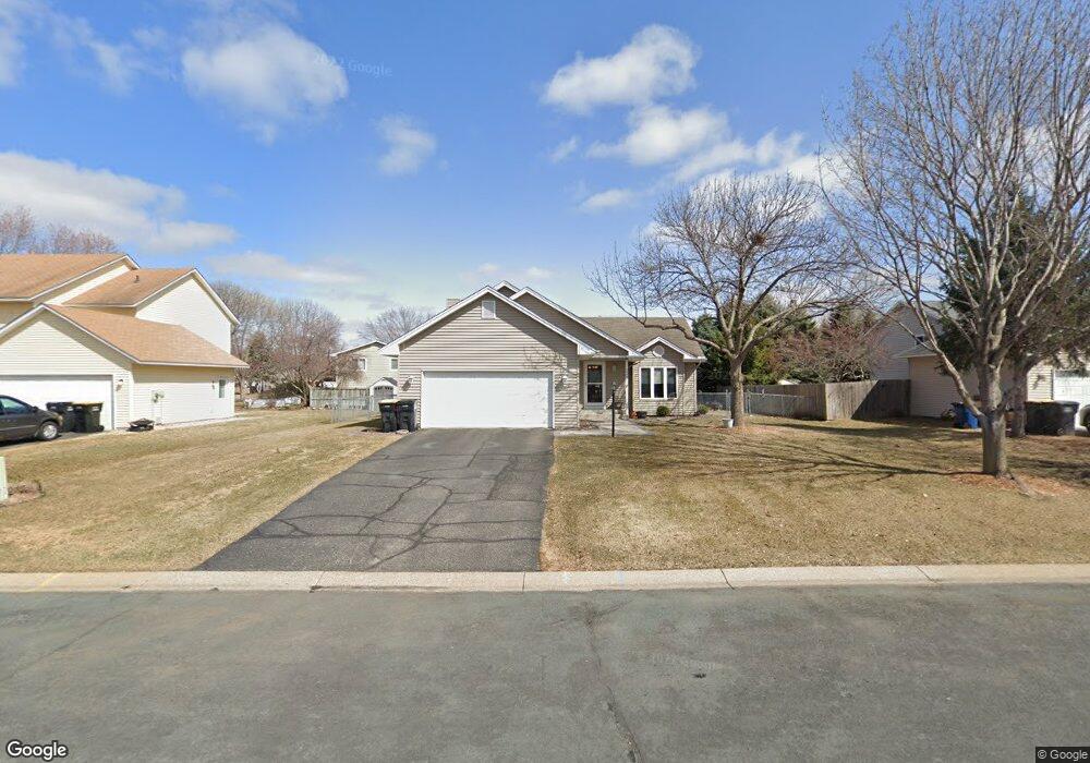
1259 Ruby Ln Shakopee, MN 55379
Estimated Value: $355,143 - $404,000
3
Beds
2
Baths
1,172
Sq Ft
$330/Sq Ft
Est. Value
About This Home
This home is located at 1259 Ruby Ln, Shakopee, MN 55379 and is currently estimated at $386,786, approximately $330 per square foot. 1259 Ruby Ln is a home located in Scott County with nearby schools including Sun Path Elementary School, Shakopee West Middle School, and Shakopee Senior High School.
Ownership History
Date
Name
Owned For
Owner Type
Purchase Details
Closed on
May 3, 2007
Sold by
Mook Donald C and Mook Stephanie K
Bought by
Hennes Tammy D
Current Estimated Value
Purchase Details
Closed on
Feb 10, 1999
Sold by
Martinson Lee S and Martinson Victoria M
Bought by
Mook Donald C and Mook Stephanie K
Create a Home Valuation Report for This Property
The Home Valuation Report is an in-depth analysis detailing your home's value as well as a comparison with similar homes in the area
Home Values in the Area
Average Home Value in this Area
Purchase History
| Date | Buyer | Sale Price | Title Company |
|---|---|---|---|
| Hennes Tammy D | $244,570 | -- | |
| Mook Donald C | $136,000 | -- |
Source: Public Records
Tax History
| Year | Tax Paid | Tax Assessment Tax Assessment Total Assessment is a certain percentage of the fair market value that is determined by local assessors to be the total taxable value of land and additions on the property. | Land | Improvement |
|---|---|---|---|---|
| 2025 | $3,382 | $333,300 | $163,300 | $170,000 |
| 2024 | $3,452 | $334,300 | $163,300 | $171,000 |
| 2023 | $3,662 | $328,700 | $160,100 | $168,600 |
| 2022 | $3,440 | $342,000 | $160,100 | $181,900 |
| 2021 | $2,978 | $280,300 | $130,500 | $149,800 |
| 2020 | $3,128 | $267,700 | $117,000 | $150,700 |
| 2019 | $3,044 | $249,600 | $98,100 | $151,500 |
| 2018 | $3,056 | $0 | $0 | $0 |
| 2016 | $3,006 | $0 | $0 | $0 |
| 2014 | -- | $0 | $0 | $0 |
Source: Public Records
Map
Nearby Homes
- 1928 Vierling Dr E
- 2027 Brittany Ct
- 2039 Brittany Ct
- 1944 Davis Ct
- 1819 Mockingbird Ave
- 1820 Mockingbird Ave
- 1076 Sibley St S
- 2066 Mockingbird Ave
- 1596 Chartreux Ave
- 2574 Vierling Dr E
- 2375 Tyrone Dr
- 2423 Tyrone Dr
- 2447 Tyrone Dr
- 951 Swift St S
- 1646 Chadum Ln
- 2006 Tyrone Dr
- 1724 Weston Ln Unit 84
- 1227 Elmwood Ave Unit 85
- 2795 Downing Ave
- Lewis Plan at Summerland Place - Landmark Collection
Your Personal Tour Guide
Ask me questions while you tour the home.