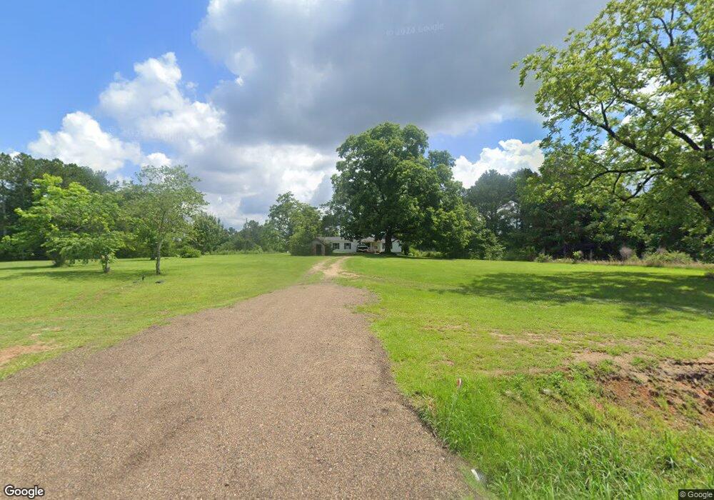
12590 Highway 19 N Philadelphia, MS 39350
Estimated Value: $108,337 - $247,000
--
Bed
1
Bath
1,798
Sq Ft
$98/Sq Ft
Est. Value
About This Home
This home is located at 12590 Highway 19 N, Philadelphia, MS 39350 and is currently estimated at $176,084, approximately $97 per square foot. 12590 Highway 19 N is a home.
Ownership History
Date
Name
Owned For
Owner Type
Purchase Details
Closed on
Oct 6, 2009
Sold by
Agent Sudney R
Bought by
Agent Paul R and Agent James H
Current Estimated Value
Create a Home Valuation Report for This Property
The Home Valuation Report is an in-depth analysis detailing your home's value as well as a comparison with similar homes in the area
Home Values in the Area
Average Home Value in this Area
Purchase History
| Date | Buyer | Sale Price | Title Company |
|---|---|---|---|
| Agent Paul R | -- | -- |
Source: Public Records
Tax History Compared to Growth
Tax History
| Year | Tax Paid | Tax Assessment Tax Assessment Total Assessment is a certain percentage of the fair market value that is determined by local assessors to be the total taxable value of land and additions on the property. | Land | Improvement |
|---|---|---|---|---|
| 2025 | $1,416 | $13,212 | $0 | $0 |
| 2024 | $1,416 | $13,182 | $0 | $0 |
| 2023 | $1,264 | $11,417 | $0 | $0 |
| 2022 | $1,264 | $11,417 | $0 | $0 |
| 2021 | $1,267 | $11,419 | $0 | $0 |
| 2020 | $1,249 | $11,419 | $0 | $0 |
| 2019 | $1,197 | $10,945 | $0 | $0 |
| 2018 | $1,451 | $13,224 | $0 | $0 |
| 2017 | $1,417 | $13,157 | $0 | $0 |
| 2016 | $1,554 | $14,382 | $0 | $0 |
| 2015 | -- | $14,071 | $0 | $0 |
| 2014 | -- | $13,915 | $0 | $0 |
Source: Public Records
Map
Nearby Homes
- 0 Road 393 Unit 25-825
- 0 Road 393 Unit 25-826
- 10521 Road 393
- 10251 Mississippi 395
- 0 Marty Stuart Dr
- 0 Road 383
- 0 Rd 832 Unit 25-257
- 0 Unit 23-541
- 0 Road 2808 Unit 25-763
- 138 Plantation Point Dr N
- 1012 Kosciusko Rd
- 206 Woodbriar Ln
- 0 Rd
- 0 S Plantation Unit 25-813
- 0 S Plantation Unit 25-814
- 0 S Plantation Unit 25-812
- 904 Pecan Ave
- 103 Gateway Dr
- 10701 County Road 573
- 0 Woodland Hills Dr
- 12581 Highway 19 N
- 12541 Highway 19 Dr N
- 12750 Highway 19 N
- 10130 Road 394
- 12860 Highway 19 N
- 10160 Road 394
- 12851 Highway 19 N
- 12861 Highway 19 N
- 10271 Road 394
- 10110 Road 394
- 12981 Highway 19 N
- 17121 Road 602
- 12970 Highway 19 N
- 12931 Highway 19 N
- 17051 Road 602
- 1323 Carroll Dr
- 12150 Highway 19 N
- 13031 Highway 19 N
- 17261 Road 602
- 10031 Road 394