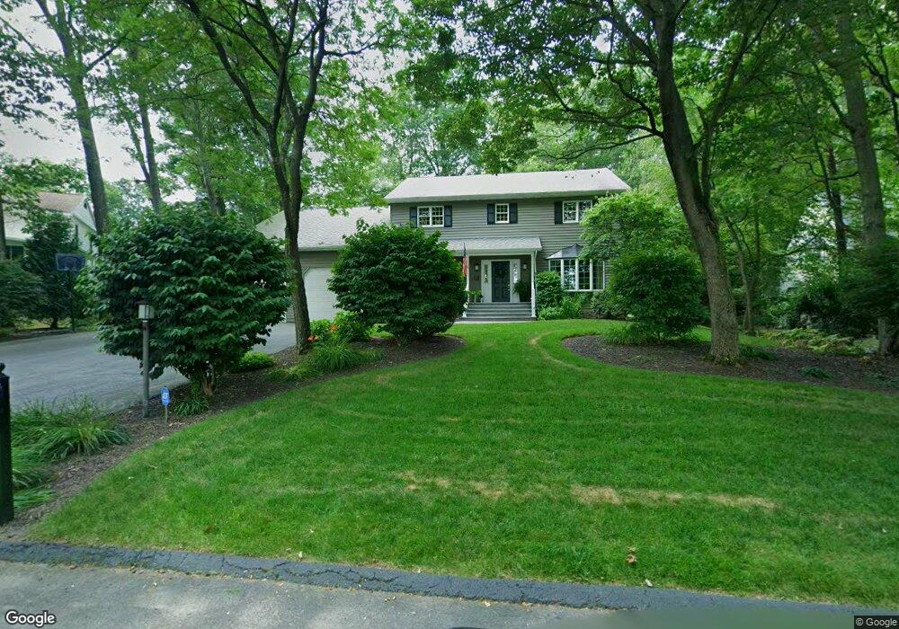
126 Brookhill Rd Sugarloaf, PA 18249
Estimated Value: $356,742 - $425,000
--
Bed
--
Bath
2,845
Sq Ft
$136/Sq Ft
Est. Value
About This Home
This home is located at 126 Brookhill Rd, Sugarloaf, PA 18249 and is currently estimated at $387,686, approximately $136 per square foot. 126 Brookhill Rd is a home located in Luzerne County with nearby schools including Hazleton Area High School.
Ownership History
Date
Name
Owned For
Owner Type
Purchase Details
Closed on
Jan 20, 2012
Sold by
Dick Norman A R and Dick Tara L
Bought by
Pavlik Walter J and Pavlik Deanna L
Current Estimated Value
Home Financials for this Owner
Home Financials are based on the most recent Mortgage that was taken out on this home.
Original Mortgage
$160,000
Outstanding Balance
$109,691
Interest Rate
3.98%
Mortgage Type
New Conventional
Estimated Equity
$277,995
Create a Home Valuation Report for This Property
The Home Valuation Report is an in-depth analysis detailing your home's value as well as a comparison with similar homes in the area
Home Values in the Area
Average Home Value in this Area
Purchase History
| Date | Buyer | Sale Price | Title Company |
|---|---|---|---|
| Pavlik Walter J | $235,000 | None Available |
Source: Public Records
Mortgage History
| Date | Status | Borrower | Loan Amount |
|---|---|---|---|
| Open | Pavlik Walter J | $160,000 |
Source: Public Records
Tax History Compared to Growth
Tax History
| Year | Tax Paid | Tax Assessment Tax Assessment Total Assessment is a certain percentage of the fair market value that is determined by local assessors to be the total taxable value of land and additions on the property. | Land | Improvement |
|---|---|---|---|---|
| 2025 | $5,412 | $243,000 | $51,600 | $191,400 |
| 2024 | $5,162 | $243,000 | $51,600 | $191,400 |
| 2023 | $5,069 | $243,000 | $51,600 | $191,400 |
| 2022 | $5,024 | $243,000 | $51,600 | $191,400 |
| 2021 | $4,738 | $243,000 | $51,600 | $191,400 |
| 2020 | $4,658 | $243,000 | $51,600 | $191,400 |
| 2019 | $4,345 | $243,000 | $51,600 | $191,400 |
| 2018 | $4,186 | $243,000 | $51,600 | $191,400 |
| 2017 | $4,099 | $243,000 | $51,600 | $191,400 |
| 2016 | -- | $243,000 | $51,600 | $191,400 |
| 2015 | $3,246 | $243,000 | $51,600 | $191,400 |
| 2014 | $3,246 | $243,000 | $51,600 | $191,400 |
Source: Public Records
Map
Nearby Homes
- 708 N Main St
- 61 Rhedwood Ave
- 11-B Park Cir
- 10 E County Rd
- 31 Mountain Side Dr
- 5 Short Ln
- 0 Mountain Ridge Rd
- 0 Mountain Rd
- 6 Sydney Way
- 16 Cindy Dr
- 145 Mountain Rd
- 254 Buck Mountain Blvd
- 0 Buck Mountain Blvd Unit 25-3888
- 0 Buck Mountain Blvd Unit 762442
- Lot 194 Buck Mountain Blvd
- 291 Stoney Mountain Dr
- MV-073 Stony Mountain Dr
- MVII.028 Stoney Mountain Dr
- 8 N Greenbriar Rd
- 0 Hawk Mountain Dr
- 130 Brookhill Rd
- 118 Brookhill Rd
- 129 Brookhill Rd
- 4 Westfield Cir
- 134 Brookhill Rd
- 123 Brookhill Rd
- 121 Brookhill Rd
- 2 Westfield Cir
- 135 Brookhill Rd
- 163 Lakeview Trail
- 138 Brookhill Rd
- 337 Turkey Path Rd
- 162 Lakeview Trail
- 143 Brookhill Rd
- 159 Lakeview Trail
- 106 Northwood Cir
- 325 Turkey Path Rd
- 331 Turkey Path Rd
- 109 Eastview Cir
- 160 Lakeview Trail