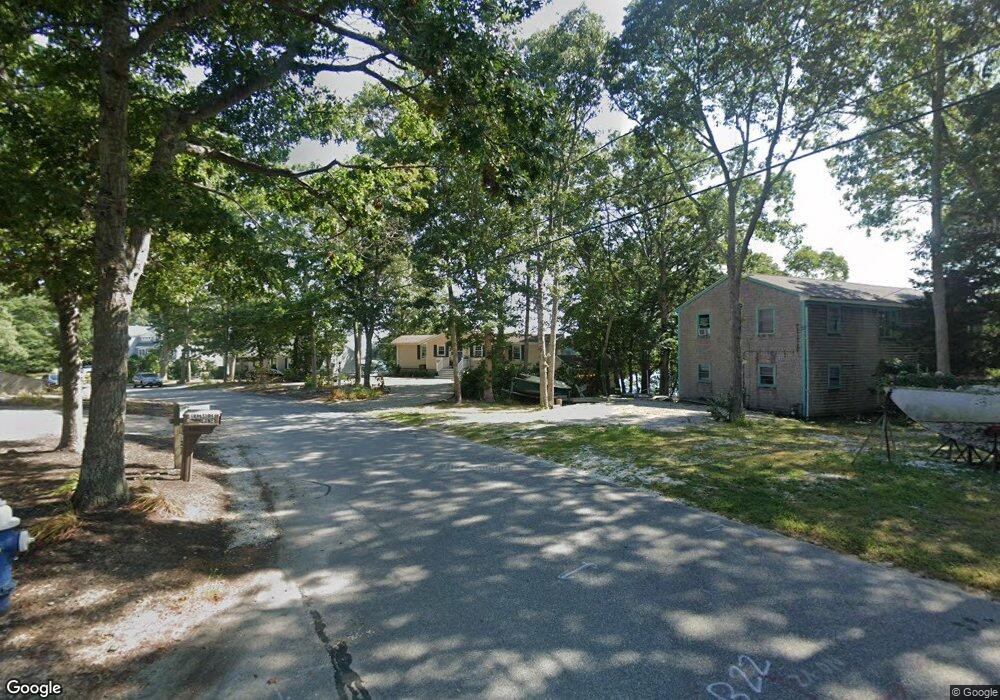
126 Captains Row Mashpee, MA 02649
Mashpee Neck NeighborhoodEstimated Value: $697,000 - $1,096,532
4
Beds
2
Baths
1,056
Sq Ft
$898/Sq Ft
Est. Value
About This Home
This home is located at 126 Captains Row, Mashpee, MA 02649 and is currently estimated at $948,633, approximately $898 per square foot. 126 Captains Row is a home located in Barnstable County with nearby schools including Kenneth C. Coombs School, Quashnet School, and Mashpee Middle School.
Ownership History
Date
Name
Owned For
Owner Type
Purchase Details
Closed on
Jul 6, 2022
Sold by
Macsuga Mary
Bought by
Mary R Macsuga Ret and Macsuga
Current Estimated Value
Purchase Details
Closed on
Jun 26, 2013
Sold by
John Ryan Ret and Macsuga
Bought by
Macsuga Mary
Purchase Details
Closed on
Apr 23, 2012
Sold by
Ryan Elva and Macsuga Mary R
Bought by
Aquillo Kathleen and Macsuga Mary R
Create a Home Valuation Report for This Property
The Home Valuation Report is an in-depth analysis detailing your home's value as well as a comparison with similar homes in the area
Home Values in the Area
Average Home Value in this Area
Purchase History
| Date | Buyer | Sale Price | Title Company |
|---|---|---|---|
| Mary R Macsuga Ret | -- | None Available | |
| Macsuga Mary | -- | -- | |
| Macsuga Mary | $346,667 | -- | |
| Macsuga Mary R | -- | -- | |
| Macsuga Mary R | $346,667 | -- | |
| Aquillo Kathleen | -- | -- | |
| Aquillo Kathleen | -- | -- | |
| Aquillo Kathleen A | -- | -- | |
| Aquillo Kathleen A | -- | -- |
Source: Public Records
Tax History
| Year | Tax Paid | Tax Assessment Tax Assessment Total Assessment is a certain percentage of the fair market value that is determined by local assessors to be the total taxable value of land and additions on the property. | Land | Improvement |
|---|---|---|---|---|
| 2025 | $7,561 | $1,142,100 | $844,400 | $297,700 |
| 2024 | $6,761 | $1,051,500 | $767,800 | $283,700 |
| 2023 | $6,739 | $961,400 | $731,100 | $230,300 |
| 2022 | $5,623 | $688,200 | $495,300 | $192,900 |
| 2021 | $101 | $608,900 | $446,200 | $162,700 |
| 2020 | $130 | $586,400 | $429,100 | $157,300 |
| 2019 | $5,216 | $576,300 | $429,100 | $147,200 |
| 2018 | $82 | $587,200 | $457,700 | $129,500 |
| 2017 | $4,766 | $518,600 | $400,500 | $118,100 |
| 2016 | $4,564 | $493,900 | $383,300 | $110,600 |
| 2015 | $4,466 | $490,200 | $383,300 | $106,900 |
| 2014 | $4,529 | $482,300 | $376,700 | $105,600 |
Source: Public Records
Map
Nearby Homes
- 29 Musket Ln
- 20 Mutiny Way
- 239 Clamshell Cove Rd
- 67 Crawford Rd
- 140 Summersea Rd
- 18 Sand Dollar Ln
- 11 Dry Hollow Ln
- 85 Clamshell Cove Rd
- 28 Quaker Run Rd
- 86 Summersea Rd
- 80 Summersea Rd
- 80 & 86 Summersea Rd
- 36 Little Neck Ln
- 353 Simons Narrows Rd
- 70 Great Pines Dr
- 35 Spinnaker Dr W
- 10 Shadbush Cir
- 109 Waterway
- 11 Teal Cir
- 444 Vineyard Rd
- 122 Captains Row
- 130 Captains Row
- 127 Captains Row
- 121 Captains Row
- 118 Captains Row
- 136 Captains Row
- 117 Captains Row
- 62 Treasure Ln
- 65 Treasure Ln
- 112 Captains Row
- 140 Captains Row
- 56 Treasure Ln
- 103 Captains Row
- 93 Captains Row
- 143 Captains Row
- 57 Treasure Ln
- 146 Captains Row
- 108 Captains Row
- 89 Captains Row
- 50 Treasure Ln
Your Personal Tour Guide
Ask me questions while you tour the home.