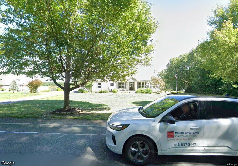
126 Glendale Rd Southampton, MA 01073
Estimated Value: $735,237 - $839,000
3
Beds
3
Baths
2,406
Sq Ft
$326/Sq Ft
Est. Value
About This Home
This home is located at 126 Glendale Rd, Southampton, MA 01073 and is currently estimated at $784,059, approximately $325 per square foot. 126 Glendale Rd is a home located in Hampshire County with nearby schools including William E Norris School, Calvary Baptist Christian School, and The Williston Northampton School.
Ownership History
Date
Name
Owned For
Owner Type
Purchase Details
Closed on
Jul 5, 2012
Sold by
Groeber William D and Groeber Linda J
Bought by
Ziomek Richard C and Ziomek Laura K
Current Estimated Value
Home Financials for this Owner
Home Financials are based on the most recent Mortgage that was taken out on this home.
Original Mortgage
$376,000
Outstanding Balance
$260,895
Interest Rate
3.78%
Mortgage Type
New Conventional
Estimated Equity
$523,164
Purchase Details
Closed on
Oct 21, 2009
Sold by
Groeber William D and Groeber Linda J
Bought by
Groeber Tr William D and Groeber Linda J
Purchase Details
Closed on
Apr 21, 2004
Sold by
Losacano Edwin W and Losacano Sherry
Bought by
Groeber William D and Groeber Linda J
Create a Home Valuation Report for This Property
The Home Valuation Report is an in-depth analysis detailing your home's value as well as a comparison with similar homes in the area
Home Values in the Area
Average Home Value in this Area
Purchase History
| Date | Buyer | Sale Price | Title Company |
|---|---|---|---|
| Ziomek Richard C | $489,000 | -- | |
| Groeber Tr William D | -- | -- | |
| Groeber William D | $125,000 | -- |
Source: Public Records
Mortgage History
| Date | Status | Borrower | Loan Amount |
|---|---|---|---|
| Open | Ziomek Richard C | $376,000 | |
| Previous Owner | Groeber William D | $100,000 | |
| Previous Owner | Groeber William D | $325,000 |
Source: Public Records
Tax History Compared to Growth
Tax History
| Year | Tax Paid | Tax Assessment Tax Assessment Total Assessment is a certain percentage of the fair market value that is determined by local assessors to be the total taxable value of land and additions on the property. | Land | Improvement |
|---|---|---|---|---|
| 2025 | $10,129 | $714,800 | $120,900 | $593,900 |
| 2024 | $9,805 | $688,100 | $120,900 | $567,200 |
| 2023 | $9,048 | $631,400 | $120,900 | $510,500 |
| 2022 | $9,363 | $621,300 | $119,900 | $501,400 |
| 2021 | $9,178 | $574,700 | $112,500 | $462,200 |
| 2020 | $8,850 | $559,400 | $112,500 | $446,900 |
| 2019 | $8,555 | $524,500 | $112,500 | $412,000 |
| 2018 | $8,278 | $483,600 | $101,200 | $382,400 |
| 2017 | $7,892 | $483,600 | $101,200 | $382,400 |
| 2015 | $7,481 | $476,200 | $93,500 | $382,700 |
Source: Public Records
Map
Nearby Homes
- 0 Glendale Rd
- 72 Glendale Rd
- 12 Kingsberry Ln
- 10 Golden Cir
- 12 Golden Cir
- 31 Lead Mine Rd
- 36 Torrey St
- 6 Nicols Way Unit 6
- 18 Nicols Way Unit 18
- 12 Nicols Way Unit 12
- 75 Lead Mine Rd
- 29 Rattle Hill Rd
- 262 Loudville Rd
- 38 College Hwy
- 2 Little St
- M143 &152 Glendale St
- 385 Main St
- 33 Howard Ave
- 41 South St Unit 11
- 2 Mine Rd