126 Sardis Point Rd Hartwell, GA 30643
Estimated Value: $998,000 - $1,184,000
--
Bed
--
Bath
3,268
Sq Ft
$323/Sq Ft
Est. Value
About This Home
This home is located at 126 Sardis Point Rd, Hartwell, GA 30643 and is currently estimated at $1,055,481, approximately $322 per square foot. 126 Sardis Point Rd is a home with nearby schools including Hart County High School and Hartwell Mennonite School.
Ownership History
Date
Name
Owned For
Owner Type
Purchase Details
Closed on
Aug 21, 2020
Sold by
Black Terry W
Bought by
Yntema Howard and Yntema Kitty
Current Estimated Value
Home Financials for this Owner
Home Financials are based on the most recent Mortgage that was taken out on this home.
Original Mortgage
$510,400
Outstanding Balance
$452,761
Interest Rate
3%
Mortgage Type
New Conventional
Estimated Equity
$602,720
Purchase Details
Closed on
Sep 11, 2017
Sold by
Lunn Charles K
Bought by
Black Terry W and Black Melissa W
Purchase Details
Closed on
Aug 24, 2006
Sold by
Brown Ann A
Bought by
Lunn Charles T and Lunn Kathryn J
Home Financials for this Owner
Home Financials are based on the most recent Mortgage that was taken out on this home.
Original Mortgage
$405,000
Interest Rate
6.67%
Mortgage Type
New Conventional
Purchase Details
Closed on
Jan 1, 1992
Create a Home Valuation Report for This Property
The Home Valuation Report is an in-depth analysis detailing your home's value as well as a comparison with similar homes in the area
Home Values in the Area
Average Home Value in this Area
Purchase History
| Date | Buyer | Sale Price | Title Company |
|---|---|---|---|
| Yntema Howard | $660,000 | -- | |
| Black Terry W | $230,000 | -- | |
| Lunn Charles T | $450,000 | -- | |
| -- | $50,000 | -- | |
| -- | $425,000 | -- |
Source: Public Records
Mortgage History
| Date | Status | Borrower | Loan Amount |
|---|---|---|---|
| Open | Yntema Howard | $510,400 | |
| Previous Owner | Lunn Charles T | $405,000 |
Source: Public Records
Tax History Compared to Growth
Tax History
| Year | Tax Paid | Tax Assessment Tax Assessment Total Assessment is a certain percentage of the fair market value that is determined by local assessors to be the total taxable value of land and additions on the property. | Land | Improvement |
|---|---|---|---|---|
| 2024 | $5,524 | $359,649 | $112,000 | $247,649 |
| 2023 | $5,386 | $325,461 | $112,000 | $213,461 |
| 2022 | $5,035 | $304,373 | $112,000 | $192,373 |
| 2021 | $4,651 | $250,760 | $78,000 | $172,760 |
| 2020 | $1,671 | $86,280 | $74,000 | $12,280 |
| 2019 | $1,620 | $82,879 | $70,000 | $12,879 |
| 2018 | $1,656 | $83,778 | $70,000 | $13,778 |
| 2017 | $1,392 | $70,000 | $70,000 | $0 |
| 2016 | $1,378 | $67,200 | $67,200 | $0 |
| 2015 | $1,308 | $67,200 | $67,200 | $0 |
| 2014 | -- | $68,000 | $68,000 | $0 |
| 2013 | -- | $68,000 | $68,000 | $0 |
Source: Public Records
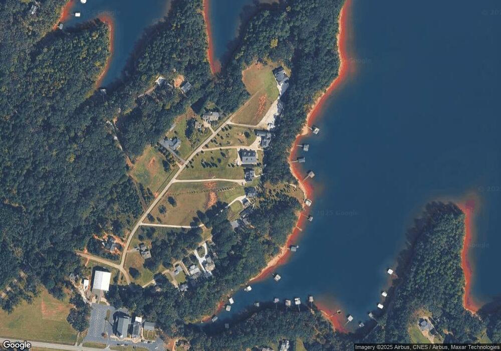
Map
Nearby Homes
- 1528 Hodges Mill Rd
- 45 Dogwood St
- 651 S Jackson St
- 783 Athens St
- 88 Thornton Dr
- 2077 Elberton Hwy
- 875 Benson St
- 861 Benson St
- 782 Sunset Rd
- 713 Benson St
- 32 Hart Terrace
- 72 Cade St
- 169 Brown St
- 470 Benson St
- 173 Deer Creek Farms
- TRACT 1 Cedar Creek Cir
- TRACT 2 Cedar Creek Cir
- 712 Scott Mill Rd
- 175 Deer Creek Farms
- 2 2nd St
- 0 Ellis Dr Unit 3195377
- 2342 Bowman Hwy
- 2454 Bowman Hwy
- 2288 Bowman Hwy
- 2475 Bowman Hwy
- 136 Ellis Dr
- 2544 Bowman Hwy
- 2102 Bowman Hwy
- 270 Monique Dr
- 111 Valley Hart Rd
- 502 Landfill Rd
- 15 Valley Hart Rd
- 207 Monique Dr
- 242 Landfill Rd
- 274 Tefel Dr W
- 145 Landfield Rd
- 1405 Royston Hwy
- 1407 Royston Hwy
- 2913 Bowman Hwy
- 212 Tefel West Dr