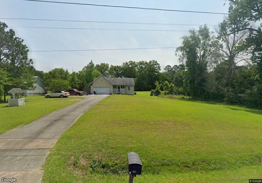
126 Southfork Dr Macon, GA 31220
Estimated Value: $222,880 - $269,000
3
Beds
2
Baths
1,610
Sq Ft
$154/Sq Ft
Est. Value
About This Home
This home is located at 126 Southfork Dr, Macon, GA 31220 and is currently estimated at $248,220, approximately $154 per square foot. 126 Southfork Dr is a home located in Bibb County with nearby schools including Heritage Elementary School, Weaver Middle School, and Westside High School.
Ownership History
Date
Name
Owned For
Owner Type
Purchase Details
Closed on
Jan 28, 2021
Sold by
Young Selena
Bought by
Young Doug
Current Estimated Value
Purchase Details
Closed on
Jun 21, 2005
Sold by
Utah Kimberly W and Evans Kimberly W
Bought by
Young Doug and Young Selena
Home Financials for this Owner
Home Financials are based on the most recent Mortgage that was taken out on this home.
Original Mortgage
$103,500
Interest Rate
7.74%
Mortgage Type
Adjustable Rate Mortgage/ARM
Create a Home Valuation Report for This Property
The Home Valuation Report is an in-depth analysis detailing your home's value as well as a comparison with similar homes in the area
Home Values in the Area
Average Home Value in this Area
Purchase History
| Date | Buyer | Sale Price | Title Company |
|---|---|---|---|
| Young Doug | -- | None Available | |
| Young Doug | $115,000 | None Available |
Source: Public Records
Mortgage History
| Date | Status | Borrower | Loan Amount |
|---|---|---|---|
| Previous Owner | Young Doug | $103,500 |
Source: Public Records
Tax History Compared to Growth
Tax History
| Year | Tax Paid | Tax Assessment Tax Assessment Total Assessment is a certain percentage of the fair market value that is determined by local assessors to be the total taxable value of land and additions on the property. | Land | Improvement |
|---|---|---|---|---|
| 2025 | $1,905 | $77,504 | $9,912 | $67,592 |
| 2024 | $1,928 | $75,920 | $9,912 | $66,008 |
| 2023 | $1,858 | $62,718 | $9,912 | $52,806 |
| 2022 | $1,715 | $49,530 | $7,623 | $41,907 |
| 2021 | $1,593 | $41,910 | $7,623 | $34,287 |
| 2020 | $1,627 | $41,910 | $7,623 | $34,287 |
| 2019 | $1,628 | $41,578 | $7,623 | $33,955 |
| 2018 | $2,673 | $41,578 | $7,623 | $33,955 |
| 2017 | $1,558 | $41,578 | $7,623 | $33,955 |
| 2016 | $1,438 | $41,578 | $7,623 | $33,955 |
| 2015 | $2,036 | $41,578 | $7,623 | $33,955 |
| 2014 | $2,214 | $45,136 | $7,623 | $37,514 |
Source: Public Records
Map
Nearby Homes
- 153 Montrose Dr
- 103 Dorchester Ct
- 508 Candlewick Ct
- 120 Knots Landing
- 515 Candlewick Ct
- 1751 Bridle Ln
- 7359 Thomaston Rd
- 933 Chisholm Trail
- 1776 Bridle
- 1698 Greentree Pkwy
- 1390 Royalwyn Dr
- 941 Galahad Cir
- 1129 Santa fe Trail
- 637 Will Scarlet Way
- 2037 Greentree Pkwy
- 1369 King Arthur Dr
- 1396 King Arthur Dr
- 678 Will Scarlet Way
- 1422 Trails End Dr
- 427 Table Mountain Dr
- 128 Southfork Dr
- 124 Southfork Dr
- 108 Southfork Dr
- 116 Dorchester Ct
- 130 Southfork Dr
- 125 Southfork Dr
- 135 Southfork Dr
- 120 Dorchester Ct
- 122 Southfork Dr
- 141 Montrose Dr
- 132 Southfork Dr
- 137 Montrose Dr
- 112 Dorchester Ct
- 145 Montrose Dr
- 121 Southfork Dr
- 232 Jr Blvd
- 120 Southfork Dr
- 133 Southfork Dr
- 108 Dorchester Ct
- 133 Montrose Dr