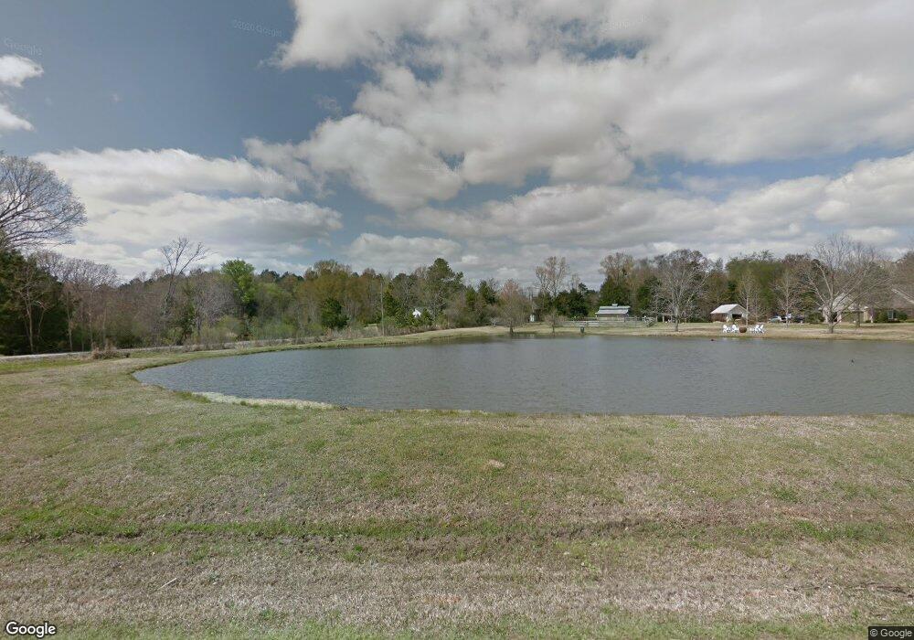
126 Sundown Rd Madison, MS 39110
Estimated Value: $465,787 - $994,000
4
Beds
2
Baths
3,250
Sq Ft
$197/Sq Ft
Est. Value
About This Home
This home is located at 126 Sundown Rd, Madison, MS 39110 and is currently estimated at $639,697, approximately $196 per square foot. 126 Sundown Rd is a home located in Madison County with nearby schools including Madison Avenue Upper Elementary School, Madison Avenue Elementary, and Madison Middle School.
Ownership History
Date
Name
Owned For
Owner Type
Purchase Details
Closed on
May 25, 2022
Sold by
Patrick Sullivan Iii Fred and Patrick Elizabeth M
Bought by
Cassilly William T and Cassilly Allyssa C
Current Estimated Value
Home Financials for this Owner
Home Financials are based on the most recent Mortgage that was taken out on this home.
Original Mortgage
$637,000
Interest Rate
4.67%
Mortgage Type
Construction
Purchase Details
Closed on
May 13, 2022
Sold by
Steed Roy T and Steed Dawn D
Bought by
Sullivan Patrick and Sullivan Elizabeth
Home Financials for this Owner
Home Financials are based on the most recent Mortgage that was taken out on this home.
Original Mortgage
$637,000
Interest Rate
4.67%
Mortgage Type
Construction
Create a Home Valuation Report for This Property
The Home Valuation Report is an in-depth analysis detailing your home's value as well as a comparison with similar homes in the area
Home Values in the Area
Average Home Value in this Area
Purchase History
| Date | Buyer | Sale Price | Title Company |
|---|---|---|---|
| Cassilly William T | -- | None Listed On Document | |
| Sullivan Patrick | -- | None Listed On Document |
Source: Public Records
Mortgage History
| Date | Status | Borrower | Loan Amount |
|---|---|---|---|
| Closed | Sullivan Patrick | $637,000 |
Source: Public Records
Tax History Compared to Growth
Tax History
| Year | Tax Paid | Tax Assessment Tax Assessment Total Assessment is a certain percentage of the fair market value that is determined by local assessors to be the total taxable value of land and additions on the property. | Land | Improvement |
|---|---|---|---|---|
| 2025 | $4,308 | $39,541 | $0 | $0 |
| 2024 | $4,308 | $39,541 | $0 | $0 |
| 2023 | $4,308 | $39,541 | $0 | $0 |
| 2022 | $3,858 | $35,678 | $0 | $0 |
| 2021 | $3,680 | $34,153 | $0 | $0 |
| 2020 | $3,680 | $34,153 | $0 | $0 |
| 2019 | $3,680 | $34,153 | $0 | $0 |
| 2018 | $3,621 | $33,645 | $0 | $0 |
| 2017 | $3,551 | $33,044 | $0 | $0 |
| 2016 | $3,551 | $33,044 | $0 | $0 |
| 2015 | $3,551 | $33,044 | $0 | $0 |
| 2014 | $1,466 | $15,157 | $0 | $0 |
Source: Public Records
Map
Nearby Homes
- 138 Oakmont Dr
- 113 N Ridge Dr
- 202 Saint Pierre Cove
- 418 Wildwood Pointe
- 1616 Baywood Dr
- 441 W Oak Cir
- 325 Mockingbird Ln
- 1205 Woodberry Dr
- 717 Wildberry Pointe
- 1133 Windrose Cir
- 213 S Woodcreek Rd
- 423 W Oak Cir
- 129 Victoria Place
- 0 Lansbury Way Unit 4110229
- 409 Hawthorne Dr
- 105 Victoria Place
- 114 Anna Cove
- 116 Anna Cove
- 169 Saint Ives Dr
- 430 Countryside Place
- 142 Sundown Rd
- 118 Sundown Rd
- 152 Sundown Rd
- 0 Sundown Rd Unit 1335822
- 0 Sundown Rd Unit PARCEL TBD
- oooo Sundown Rd Unit unknown
- 107 Sundown Rd
- 107 Sundown Rd Unit 7.10 Acres
- 438 Pearl River Church Rd
- 0 Ways Way
- 726 Spring Hill Dr
- 583 Spring Hill Dr
- 585 Spring Hill Dr
- 581 Spring Hill Dr
- 579 Spring Hill Dr
- 168 Sundown Rd
- 577 Spring Hill Dr
- 724 Spring Hill Dr
- 575 Spring Hill Dr
- 145 Sundown Rd
