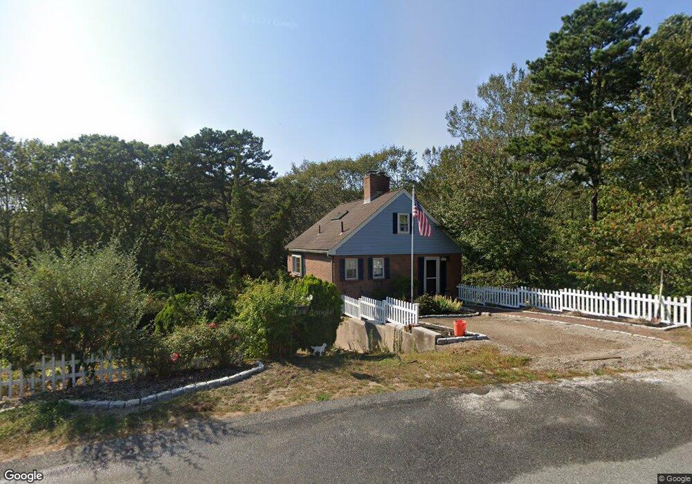
126 Trout Brook Rd Cotuit, MA 02635
Cotuit NeighborhoodEstimated Value: $599,038 - $676,000
2
Beds
2
Baths
744
Sq Ft
$864/Sq Ft
Est. Value
About This Home
This home is located at 126 Trout Brook Rd, Cotuit, MA 02635 and is currently estimated at $642,510, approximately $863 per square foot. 126 Trout Brook Rd is a home located in Barnstable County with nearby schools including West Villages Elementary School, Barnstable United Elementary School, and Barnstable Intermediate School.
Ownership History
Date
Name
Owned For
Owner Type
Purchase Details
Closed on
Mar 24, 2014
Sold by
Aliberti Mary T and Aliberti Richard A
Bought by
Aliberti T and Aliberti Mary T
Current Estimated Value
Create a Home Valuation Report for This Property
The Home Valuation Report is an in-depth analysis detailing your home's value as well as a comparison with similar homes in the area
Home Values in the Area
Average Home Value in this Area
Purchase History
| Date | Buyer | Sale Price | Title Company |
|---|---|---|---|
| Aliberti T | -- | -- |
Source: Public Records
Tax History Compared to Growth
Tax History
| Year | Tax Paid | Tax Assessment Tax Assessment Total Assessment is a certain percentage of the fair market value that is determined by local assessors to be the total taxable value of land and additions on the property. | Land | Improvement |
|---|---|---|---|---|
| 2025 | $4,132 | $494,900 | $234,100 | $260,800 |
| 2024 | $3,793 | $481,400 | $234,100 | $247,300 |
| 2023 | $3,646 | $435,600 | $212,800 | $222,800 |
| 2022 | $3,461 | $334,700 | $146,400 | $188,300 |
| 2021 | $3,446 | $312,100 | $148,600 | $163,500 |
| 2020 | $3,583 | $306,000 | $148,600 | $157,400 |
| 2019 | $3,568 | $300,300 | $157,600 | $142,700 |
| 2018 | $3,265 | $307,700 | $183,700 | $124,000 |
| 2017 | $3,593 | $304,500 | $183,700 | $120,800 |
| 2016 | $3,460 | $300,600 | $179,800 | $120,800 |
| 2015 | $3,446 | $299,100 | $181,900 | $117,200 |
Source: Public Records
Map
Nearby Homes
- 220 Dunrobin Rd
- 226 Dunrobin Rd
- 70 Cape Dr Unit 14D
- 4701 Falmouth Rd
- 783
- 428 Main St
- 70 Simons Rd Unit E
- 70 Simons Rd
- 15 Hampton Ct Unit 15
- 15 Hampton Ct
- 16 Spring Brook Ln
- 45 Simons Rd Unit A
- 75 Bob White Run
- 6 Mayfair Ct
- 6 Mayfair Ct Unit 6
- 24 Hampton Ct Unit 24
- 24 Hampton Ct
- 4 Bishops Park
- 5 Darby Point Unit 5
- 15 E Riverview Ave Unit 15E
- 123 Trout Brook Rd
- 116 Trout Brook Rd
- 144 Trout Brook Rd
- 101 Trout Brook Rd
- 143 Trout Brook Rd
- 95 Smokehouse Off Main St
- 95 Smokehouse Ln
- 100 Trout Brook Rd
- 158 Trout Brook Rd
- 89 Trout Brook Rd
- 159 Trout Brook Rd
- 170 Trout Brook Rd
- 80 Ty Dee Ln
- 80 Ty-Dee Ln
- 25 Furlong Way
- 171 Trout Brook Rd
- 75 Smokehouse Ln
- 75 Trout Brook Rd
- 76 Trout Brook Rd
- 41 Furlong Way