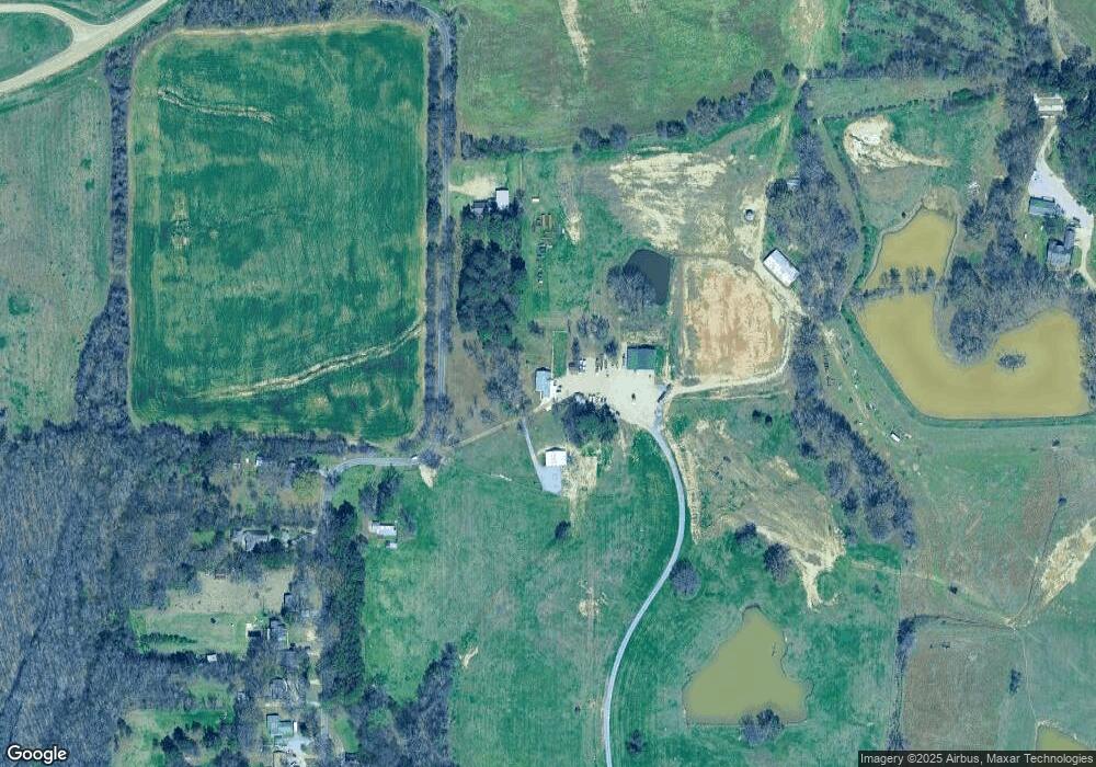
1260 Mabry Rd Lake Cormorant, MS 38641
Lake Cormorant NeighborhoodEstimated Value: $247,173 - $352,000
3
Beds
--
Bath
2,136
Sq Ft
$145/Sq Ft
Est. Value
About This Home
This home is located at 1260 Mabry Rd, Lake Cormorant, MS 38641 and is currently estimated at $309,724, approximately $145 per square foot. 1260 Mabry Rd is a home located in DeSoto County with nearby schools including Lake Cormorant Elementary School, Horn Lake Intermediate School, and Horn Lake Middle School.
Ownership History
Date
Name
Owned For
Owner Type
Purchase Details
Closed on
Apr 29, 2025
Sold by
Wallis Matthew and Wallis Amber
Bought by
Matthew B Wallis Revocable Trust and Wallis
Current Estimated Value
Home Financials for this Owner
Home Financials are based on the most recent Mortgage that was taken out on this home.
Original Mortgage
$685,500
Outstanding Balance
$652,523
Interest Rate
6.67%
Mortgage Type
Balloon
Estimated Equity
-$342,799
Purchase Details
Closed on
Sep 8, 2023
Sold by
Wallis Matthew
Bought by
Hurricane Land Company Llc
Purchase Details
Closed on
Aug 15, 2022
Sold by
Matthew Wallis
Bought by
Panther Creek Farms Llc
Create a Home Valuation Report for This Property
The Home Valuation Report is an in-depth analysis detailing your home's value as well as a comparison with similar homes in the area
Home Values in the Area
Average Home Value in this Area
Purchase History
| Date | Buyer | Sale Price | Title Company |
|---|---|---|---|
| Matthew B Wallis Revocable Trust | -- | None Listed On Document | |
| Hurricane Land Company Llc | -- | None Listed On Document | |
| Panther Creek Farms Llc | -- | Armistead Law Pllc |
Source: Public Records
Mortgage History
| Date | Status | Borrower | Loan Amount |
|---|---|---|---|
| Open | Matthew B Wallis Revocable Trust | $685,500 |
Source: Public Records
Tax History Compared to Growth
Tax History
| Year | Tax Paid | Tax Assessment Tax Assessment Total Assessment is a certain percentage of the fair market value that is determined by local assessors to be the total taxable value of land and additions on the property. | Land | Improvement |
|---|---|---|---|---|
| 2024 | $706 | $10,059 | $3,840 | $6,219 |
| 2023 | $706 | $10,059 | $0 | $0 |
| 2022 | $706 | $10,059 | $3,840 | $6,219 |
| 2021 | $706 | $10,059 | $3,840 | $6,219 |
| 2020 | $656 | $9,561 | $3,840 | $5,721 |
| 2019 | $656 | $9,561 | $3,840 | $5,721 |
| 2017 | $639 | $14,810 | $9,325 | $5,485 |
| 2016 | $639 | $9,325 | $3,840 | $5,485 |
| 2015 | $939 | $14,810 | $9,325 | $5,485 |
| 2014 | $939 | $9,325 | $0 | $0 |
| 2013 | $179 | $9,325 | $0 | $0 |
Source: Public Records
Map
Nearby Homes
- 7508 Dean Rd
- 6193 Nesbit Rd
- 5450 Dean Rd
- 22 Hazelwood Dr
- 7455 Mississippi 301
- 6 Hazelwood Dr
- 20 Hazelwood Dr
- 7 Hazelwood Dr
- 30 Hazelwood Dr
- 26 Hazelwood Dr
- 25 Riverwood Cove N
- 24 Riverwood Cove N
- 7 Dean Rd
- 21 Hazelwood Dr
- 29 Hazelwood Dr
- 23 Hazelwood Dr
- 8 Dean Rd
- 14 Hazelwood Dr
- 7643 Dean Rd
- 27 Hazelwood Dr