12600 Oregon 62 Eagle Point, OR 97524
Estimated Value: $407,492 - $497,000
2
Beds
1
Bath
900
Sq Ft
$518/Sq Ft
Est. Value
About This Home
This home is located at 12600 Oregon 62, Eagle Point, OR 97524 and is currently estimated at $466,497, approximately $518 per square foot. 12600 Oregon 62 is a home located in Jackson County with nearby schools including Eagle Rock Elementary School, Eagle Point Middle School, and White Mountain Middle School.
Ownership History
Date
Name
Owned For
Owner Type
Purchase Details
Closed on
Jun 28, 2021
Sold by
Mcgonagle Bridget and Estate Of Martin Lloyd Chadd
Bought by
Daw William and Daw Mary
Current Estimated Value
Purchase Details
Closed on
Oct 26, 2005
Sold by
Chadd Martin L
Bought by
Chadd Martin L and Chadd Elizabeth R
Home Financials for this Owner
Home Financials are based on the most recent Mortgage that was taken out on this home.
Original Mortgage
$220,000
Interest Rate
5.68%
Mortgage Type
Fannie Mae Freddie Mac
Create a Home Valuation Report for This Property
The Home Valuation Report is an in-depth analysis detailing your home's value as well as a comparison with similar homes in the area
Home Values in the Area
Average Home Value in this Area
Purchase History
| Date | Buyer | Sale Price | Title Company |
|---|---|---|---|
| Daw William | $425,000 | First American | |
| Chadd Martin L | -- | Lawyers Title Insurance Corp | |
| Chadd Martin L | -- | Lawyers Title Insurance Corp |
Source: Public Records
Mortgage History
| Date | Status | Borrower | Loan Amount |
|---|---|---|---|
| Previous Owner | Chadd Martin L | $220,000 |
Source: Public Records
Tax History Compared to Growth
Tax History
| Year | Tax Paid | Tax Assessment Tax Assessment Total Assessment is a certain percentage of the fair market value that is determined by local assessors to be the total taxable value of land and additions on the property. | Land | Improvement |
|---|---|---|---|---|
| 2025 | $1,667 | $151,570 | $94,620 | $56,950 |
| 2024 | $1,667 | $147,160 | $91,870 | $55,290 |
| 2023 | $1,611 | $142,880 | $89,200 | $53,680 |
| 2022 | $1,569 | $142,880 | $89,200 | $53,680 |
| 2021 | $1,525 | $138,720 | $86,600 | $52,120 |
| 2020 | $1,304 | $134,680 | $84,080 | $50,600 |
| 2019 | $1,290 | $126,960 | $79,260 | $47,700 |
| 2018 | $1,262 | $123,270 | $76,960 | $46,310 |
| 2017 | $1,233 | $123,270 | $76,960 | $46,310 |
| 2016 | $1,203 | $116,200 | $72,550 | $43,650 |
| 2015 | $1,163 | $116,200 | $72,550 | $43,650 |
| 2014 | $1,131 | $109,540 | $68,390 | $41,150 |
Source: Public Records
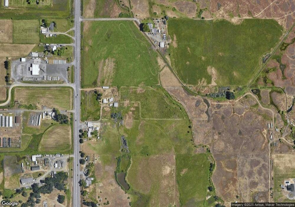
Map
Nearby Homes
- 417 E Rolling Hills Dr
- 712 Nottingham Terrace
- 700 Nottingham Terrace
- 990 Win Way
- 507 Sienna Hills Dr
- 628 Barton Rd
- 4 Meadowfield Cir
- 208 Northview Dr Unit 1B
- 912 Stonewater Dr
- 407 N Deanjou Ave
- 403 N Deanjou Ave
- 1023 Highlands Dr
- 826 Crystal Dr
- 911 Stonewater Dr
- 739 W Rolling Hills Dr
- 569 N Heights Dr
- 130 Dianne Way
- 1560 Brentwood Dr
- 468 Merlee Cir
- 1100 W Rolling Hills Dr
- 12600 Highway 62
- 12544 Highway 62
- 12752 Highway 62
- 12575 Highway 62
- 12448 Highway 62
- 313 E Rolling Hiills Dr
- 12753 Oregon 62
- 12753 Highway 62
- 12421 Oregon 62
- 227 E Rolling Hills Dr
- 313 E Rolling Hills Dr
- 40 W Rolling Hills Dr
- 12811 Highway 62
- 144 E Rolling Hills Dr
- 421 E Rolling Hills Dr
- 12321 Highway 62
- 0 E Rolling Hills Dr
- 550 E Rolling Hills Dr
- 12246 Highway 62
- 12655 Highway 62