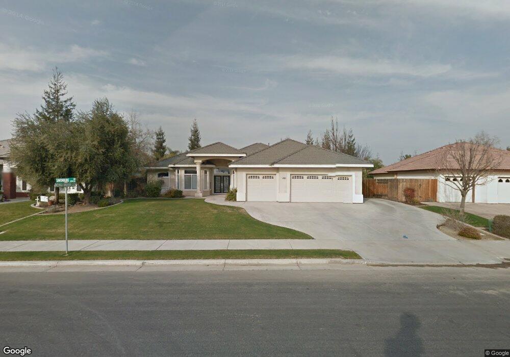
12600 Savonburg Dr Bakersfield, CA 93312
Brimhall Estates NeighborhoodEstimated Value: $600,000 - $620,000
4
Beds
3
Baths
2,365
Sq Ft
$260/Sq Ft
Est. Value
About This Home
This home is located at 12600 Savonburg Dr, Bakersfield, CA 93312 and is currently estimated at $614,595, approximately $259 per square foot. 12600 Savonburg Dr is a home located in Kern County with nearby schools including American Elementary School, Rosedale Middle School, and Liberty High School.
Ownership History
Date
Name
Owned For
Owner Type
Purchase Details
Closed on
Jun 29, 2015
Sold by
Bourelle Gregory Scott and Bourelle Janine Marie
Bought by
Fisher Steven E and Fisher Arlene P
Current Estimated Value
Purchase Details
Closed on
Aug 25, 2006
Sold by
Matzke Jason and Matzke Jill A
Bought by
Fisher Steven E and Fisher Arlene P
Purchase Details
Closed on
Jan 27, 2004
Sold by
Brian Rice Construction Inc
Bought by
Matzke Jason and Matzke Jill A
Home Financials for this Owner
Home Financials are based on the most recent Mortgage that was taken out on this home.
Original Mortgage
$269,560
Interest Rate
5.85%
Mortgage Type
Purchase Money Mortgage
Create a Home Valuation Report for This Property
The Home Valuation Report is an in-depth analysis detailing your home's value as well as a comparison with similar homes in the area
Home Values in the Area
Average Home Value in this Area
Purchase History
| Date | Buyer | Sale Price | Title Company |
|---|---|---|---|
| Fisher Steven E | -- | None Available | |
| Fisher Steven E | $500,000 | None Available | |
| Matzke Jason | $337,000 | Stewart Title |
Source: Public Records
Mortgage History
| Date | Status | Borrower | Loan Amount |
|---|---|---|---|
| Previous Owner | Matzke Jason | $269,560 | |
| Closed | Matzke Jason | $67,390 |
Source: Public Records
Tax History Compared to Growth
Tax History
| Year | Tax Paid | Tax Assessment Tax Assessment Total Assessment is a certain percentage of the fair market value that is determined by local assessors to be the total taxable value of land and additions on the property. | Land | Improvement |
|---|---|---|---|---|
| 2025 | $7,875 | $558,000 | $140,000 | $418,000 |
| 2024 | $7,875 | $558,000 | $140,000 | $418,000 |
| 2023 | $7,559 | $532,000 | $133,000 | $399,000 |
| 2022 | $7,010 | $484,000 | $121,000 | $363,000 |
| 2021 | $6,130 | $414,000 | $104,000 | $310,000 |
| 2020 | $5,767 | $386,000 | $97,000 | $289,000 |
| 2019 | $5,803 | $389,000 | $97,000 | $292,000 |
| 2018 | $5,645 | $381,000 | $95,000 | $286,000 |
| 2017 | $5,912 | $378,000 | $95,000 | $283,000 |
| 2016 | $5,630 | $378,000 | $70,000 | $308,000 |
| 2015 | $5,651 | $381,000 | $95,000 | $286,000 |
| 2014 | $5,323 | $353,000 | $88,000 | $265,000 |
Source: Public Records
Map
Nearby Homes
- 12401 Longmeadow Way
- 12204 Tule River Way
- 12307 Fairburn Way
- 12925 Appaloosa Ave
- 12303 Fairburn Way
- 12008 Stonington St
- 11917 Leigh River St
- 11808 Wethersfield St
- 307 Coachman Way
- 12608 Fallstaff Ln
- 12023 Winger St
- 12512 Cheswolde Dr
- 13115 Nantucket Place
- 11717 Old Town Rd
- 11901 Kimelford Dr
- 11510 Finsbury Ct
- 12217 French Park Ln
- 13207 Phoenix Palm Ct
- 13801 Laverton Ave
- 412 Hollyhill Dr Unit 8
- 12510 Savonburg Dr
- 12604 Savonburg Dr
- 12607 Clay Creek Ct
- 12506 Savonburg Dr
- 12608 Savonburg Dr
- 12511 Savonburg Dr
- 12611 Clay Creek Ct
- 12601 Savonburg Dr
- 12507 Savonburg Dr
- 12502 Savonburg Dr
- 12612 Savonburg Dr
- 12609 Savonburg Dr
- 12615 Clay Creek Ct
- 12503 Savonburg Dr
- 12512 Gila River Dr
- 1000 Blenheim Way
- 12602 Gila River Dr
- 12508 Gila River Dr
- 12613 Savonburg Dr
- 12408 Savonburg Dr