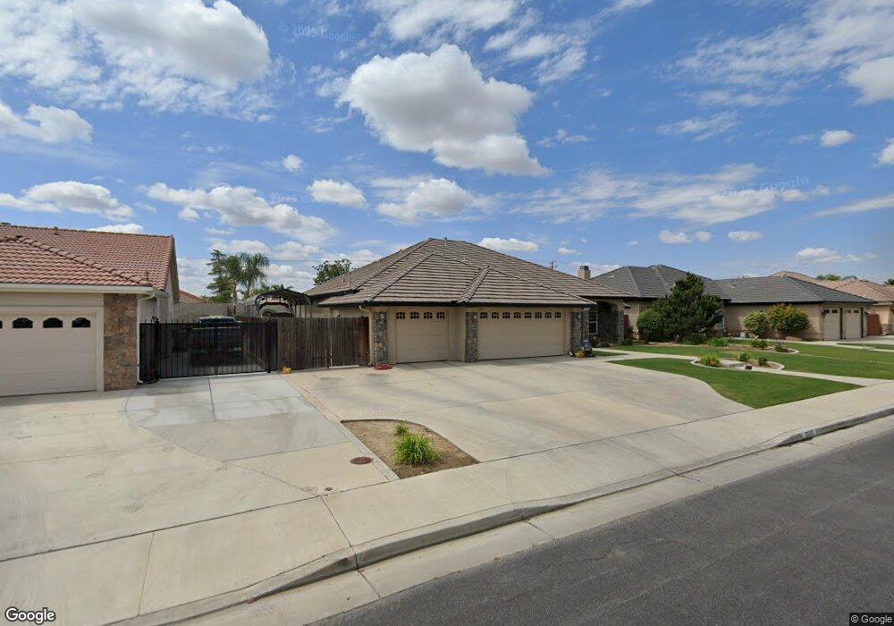
12605 Lanai Ave Bakersfield, CA 93312
Fox Run NeighborhoodEstimated Value: $523,000 - $603,000
4
Beds
3
Baths
2,360
Sq Ft
$235/Sq Ft
Est. Value
About This Home
This home is located at 12605 Lanai Ave, Bakersfield, CA 93312 and is currently estimated at $555,448, approximately $235 per square foot. 12605 Lanai Ave is a home located in Kern County with nearby schools including Patriot Elementary School, Freedom Middle School, and Frontier High School.
Ownership History
Date
Name
Owned For
Owner Type
Purchase Details
Closed on
Dec 11, 2007
Sold by
Wheeler Ryan M and Wheeler Kelli M
Bought by
Allen Dane B and Allen Andrea E
Current Estimated Value
Home Financials for this Owner
Home Financials are based on the most recent Mortgage that was taken out on this home.
Original Mortgage
$268,000
Outstanding Balance
$168,754
Interest Rate
6.2%
Mortgage Type
Purchase Money Mortgage
Estimated Equity
$386,694
Purchase Details
Closed on
Feb 13, 2004
Sold by
John Balfanz Homes Inc
Bought by
Wheeler Ryan M and Wheeler Kelli M
Home Financials for this Owner
Home Financials are based on the most recent Mortgage that was taken out on this home.
Original Mortgage
$306,000
Interest Rate
7.1%
Mortgage Type
Purchase Money Mortgage
Create a Home Valuation Report for This Property
The Home Valuation Report is an in-depth analysis detailing your home's value as well as a comparison with similar homes in the area
Home Values in the Area
Average Home Value in this Area
Purchase History
| Date | Buyer | Sale Price | Title Company |
|---|---|---|---|
| Allen Dane B | $335,000 | Ticor Title Company Of Ca | |
| Wheeler Ryan M | $360,000 | Stewart Title |
Source: Public Records
Mortgage History
| Date | Status | Borrower | Loan Amount |
|---|---|---|---|
| Open | Allen Dane B | $268,000 | |
| Previous Owner | Wheeler Ryan M | $306,000 | |
| Closed | Wheeler Ryan M | $36,000 |
Source: Public Records
Tax History Compared to Growth
Tax History
| Year | Tax Paid | Tax Assessment Tax Assessment Total Assessment is a certain percentage of the fair market value that is determined by local assessors to be the total taxable value of land and additions on the property. | Land | Improvement |
|---|---|---|---|---|
| 2025 | $5,743 | $468,453 | $118,207 | $350,246 |
| 2024 | $5,619 | $459,270 | $115,890 | $343,380 |
| 2023 | $5,619 | $450,266 | $113,618 | $336,648 |
| 2022 | $5,526 | $441,439 | $111,391 | $330,048 |
| 2021 | $5,385 | $432,785 | $109,207 | $323,578 |
| 2020 | $5,319 | $428,349 | $108,088 | $320,261 |
| 2019 | $5,238 | $428,349 | $108,088 | $320,261 |
| 2018 | $3,973 | $310,000 | $78,000 | $232,000 |
| 2017 | $3,865 | $299,000 | $75,000 | $224,000 |
| 2016 | $3,703 | $300,000 | $75,000 | $225,000 |
| 2015 | $3,922 | $320,000 | $80,000 | $240,000 |
| 2014 | $3,764 | $307,000 | $77,000 | $230,000 |
Source: Public Records
Map
Nearby Homes
- 12710 Lanai Ave
- 4900 Rushmore Dr
- 12600 Hawaii Ln
- 12418 Grand Teton Dr
- 12206 Sundance Canyon Dr
- 13118 Ridgeway Meadows Dr
- 13100 Yampa River St Unit 3
- 5308 Elk Run Ct
- 12309 Childress St
- 13404 Cheyenne Mountain Dr
- 12211 Flat Iron Ct
- 13421 Cheyenne Mountain Dr
- 12709 Montbatten Place
- 13432 Ridgeway Meadows Dr
- 4216 Lightning Ct
- 4321 Polo Pony Ln
- 12809 Trafalgar Square Dr
- 11703 Revolution Rd
- 11613 Presidential Rd
- 11708 Valley Forge Way
- 12601 Lanai Ave
- 12609 Lanai Ave
- 12703 Lanai Ave
- 12511 Lanai Ave
- 12600 Lanai Ave
- 12604 Lanai Ave
- 4917 Rushmore Dr
- 12707 Lanai Ave
- 4913 Rushmore Dr
- 12507 Lanai Ave
- 5100 Maui Dr
- 4912 Rushmore Dr
- 12706 Lanai Ave
- 12711 Lanai Ave
- 5104 Maui Dr
- 12603 Oahu Ln
- 12611 Oahu Ln
- 12503 Lanai Ave
- 4908 Rushmore Dr
- 12615 Oahu Ln