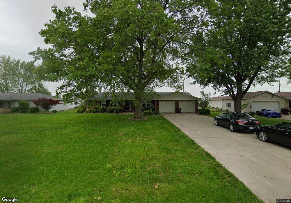
12605 Maple Ave Paulding, OH 45879
Estimated Value: $195,000 - $245,000
3
Beds
3
Baths
1,685
Sq Ft
$131/Sq Ft
Est. Value
About This Home
This home is located at 12605 Maple Ave, Paulding, OH 45879 and is currently estimated at $220,158, approximately $130 per square foot. 12605 Maple Ave is a home located in Paulding County with nearby schools including Paulding High School.
Ownership History
Date
Name
Owned For
Owner Type
Purchase Details
Closed on
Jul 21, 2014
Sold by
Young Pamela K and Young Stephen F
Bought by
Good Scott L and Good Leslie K
Current Estimated Value
Home Financials for this Owner
Home Financials are based on the most recent Mortgage that was taken out on this home.
Original Mortgage
$114,000
Outstanding Balance
$33,197
Interest Rate
4.12%
Mortgage Type
New Conventional
Estimated Equity
$186,961
Purchase Details
Closed on
Aug 31, 2001
Sold by
Young Stephen F
Bought by
Good Scott L and Good Leslie K
Create a Home Valuation Report for This Property
The Home Valuation Report is an in-depth analysis detailing your home's value as well as a comparison with similar homes in the area
Home Values in the Area
Average Home Value in this Area
Purchase History
| Date | Buyer | Sale Price | Title Company |
|---|---|---|---|
| Good Scott L | -- | None Available | |
| Good Scott L | -- | -- |
Source: Public Records
Mortgage History
| Date | Status | Borrower | Loan Amount |
|---|---|---|---|
| Open | Good Scott L | $114,000 |
Source: Public Records
Tax History
| Year | Tax Paid | Tax Assessment Tax Assessment Total Assessment is a certain percentage of the fair market value that is determined by local assessors to be the total taxable value of land and additions on the property. | Land | Improvement |
|---|---|---|---|---|
| 2025 | $3,265 | $73,990 | $13,650 | $60,340 |
| 2024 | $3,265 | $56,910 | $10,500 | $46,410 |
| 2023 | $2,609 | $54,780 | $10,500 | $44,280 |
| 2022 | $2,455 | $54,780 | $10,500 | $44,280 |
| 2021 | $2,187 | $43,650 | $7,880 | $35,770 |
| 2020 | $1,970 | $43,650 | $7,880 | $35,770 |
| 2019 | $1,986 | $40,400 | $7,880 | $32,520 |
| 2018 | $1,868 | $40,400 | $7,880 | $32,520 |
| 2017 | $1,869 | $40,400 | $7,880 | $32,520 |
| 2016 | $1,875 | $40,400 | $7,880 | $32,520 |
| 2015 | $1,635 | $35,710 | $7,880 | $27,830 |
| 2014 | $1,627 | $35,710 | $7,880 | $27,830 |
| 2013 | $1,290 | $35,710 | $7,880 | $27,830 |
Source: Public Records
Map
Nearby Homes
- 830 N Walnut St
- 1065 Emerald Rd
- 829 Greenbriar Ave
- 726 N Main St
- 741 Tom Tim Dr
- 516 N Williams St
- 402 N Williams St
- 13688 Kay St
- 308 N Main St
- 301 N Main St
- 215 N Dewitt St
- 614 W Jackson St
- 520 W Wayne St
- 717 W Harrison St
- 714 W Wayne St
- 701 E Wayne St
- 742 E Perry St
- 11051 Road 93
- 14255 Road 126
- 15010 U S 127
- 12673 Maple Ave
- 12547 Maple Ave
- 12642 Maple Ave
- 12741 Maple Ave
- 12487 Maple Ave
- 12532 Maple Ave
- 12582 Maple Ave
- 12702 Maple Ave
- 12464 Maple Ave
- 12811 Maple Ave
- 12415 Maple Ave
- 12438 Maple Ave
- 1052 N Williams St
- 1082 N Williams St
- 1070 N Williams St
- 12353 Maple Ave
- 1048 N Williams St
- 12388 Maple Ave
- 1036 N Williams St
- 1090 N Williams St
