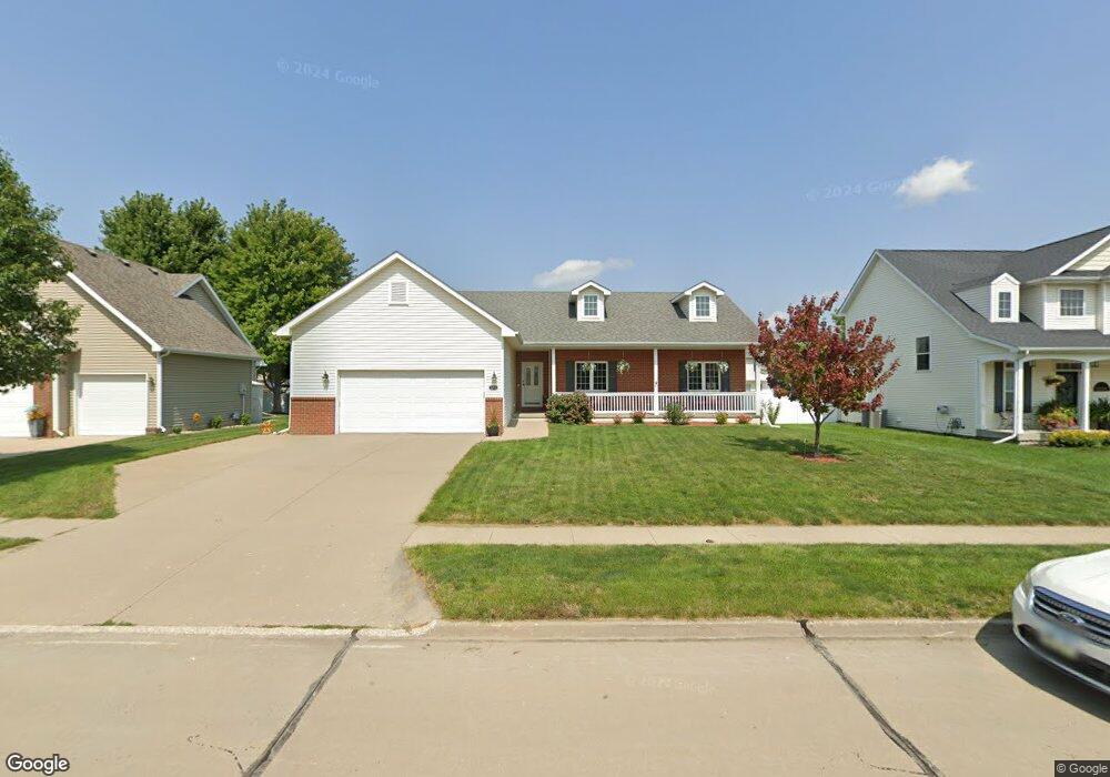
12609 Hammontree Cir Urbandale, IA 50323
Estimated Value: $397,000 - $430,000
3
Beds
2
Baths
1,789
Sq Ft
$235/Sq Ft
Est. Value
About This Home
This home is located at 12609 Hammontree Cir, Urbandale, IA 50323 and is currently estimated at $419,906, approximately $234 per square foot. 12609 Hammontree Cir is a home located in Polk County with nearby schools including Webster Elementary School, Urbandale Middle School, and Urbandale High School.
Ownership History
Date
Name
Owned For
Owner Type
Purchase Details
Closed on
Mar 15, 2005
Sold by
Hubbell Homes Lc
Bought by
Herteen Patrick J and Herteen Lana R
Current Estimated Value
Home Financials for this Owner
Home Financials are based on the most recent Mortgage that was taken out on this home.
Original Mortgage
$224,400
Outstanding Balance
$111,041
Interest Rate
5.25%
Mortgage Type
Fannie Mae Freddie Mac
Estimated Equity
$308,865
Purchase Details
Closed on
Oct 28, 2004
Sold by
Hubbell Properties Ii Lc Series B
Bought by
Hubbell Homes Lc
Create a Home Valuation Report for This Property
The Home Valuation Report is an in-depth analysis detailing your home's value as well as a comparison with similar homes in the area
Home Values in the Area
Average Home Value in this Area
Purchase History
| Date | Buyer | Sale Price | Title Company |
|---|---|---|---|
| Herteen Patrick J | $280,500 | -- | |
| Hubbell Homes Lc | $38,000 | -- |
Source: Public Records
Mortgage History
| Date | Status | Borrower | Loan Amount |
|---|---|---|---|
| Open | Herteen Patrick J | $224,400 |
Source: Public Records
Tax History Compared to Growth
Tax History
| Year | Tax Paid | Tax Assessment Tax Assessment Total Assessment is a certain percentage of the fair market value that is determined by local assessors to be the total taxable value of land and additions on the property. | Land | Improvement |
|---|---|---|---|---|
| 2024 | $7,696 | $435,400 | $73,200 | $362,200 |
| 2023 | $7,104 | $435,400 | $73,200 | $362,200 |
| 2022 | $7,022 | $340,000 | $59,600 | $280,400 |
| 2021 | $6,928 | $340,000 | $59,600 | $280,400 |
| 2020 | $6,808 | $318,700 | $55,700 | $263,000 |
| 2019 | $6,948 | $318,700 | $55,700 | $263,000 |
| 2018 | $6,700 | $306,000 | $51,200 | $254,800 |
| 2017 | $6,312 | $306,000 | $51,200 | $254,800 |
| 2016 | $6,158 | $283,300 | $46,600 | $236,700 |
| 2015 | $6,158 | $283,300 | $46,600 | $236,700 |
| 2014 | $5,592 | $265,500 | $43,200 | $222,300 |
Source: Public Records
Map
Nearby Homes
- 12602 Winston Ave
- 4412 125th St
- 12335 Tanglewood Dr
- 4309 129th St
- 12912 Hammontree Dr
- 12510 Prairie Dr
- 4143 122nd St
- 4016 127th St
- 12527 Airline Ave
- 12515 Airline Ave
- 3935 122nd St
- 13114 Iltis Dr
- 12723 Sunflower Dr
- 12220 Horton Ave
- 12202 Madison Ave
- 15217 Springbrook Trail
- 15015 Springbrook Trail
- 15019 Springbrook Trail
- 14509 Persimmon Dr
- 14627 Persimmon Dr
- 12615 Hammontree Cir
- 12603 Hammontree Cir
- 12608 Tanglewood Dr
- 12612 Tanglewood Dr
- 12621 Hammontree Cir
- 12604 Tanglewood Dr
- 12608 Hammontree Cir
- 12614 Hammontree Cir
- 12616 Tanglewood Dr
- 12602 Hammontree Cir
- 12703 Hammontree Cir
- 12620 Hammontree Cir
- 4227 126th St
- 12700 Tanglewood Dr
- 4231 126th St
- 4223 126th St
- 12702 Hammontree Cir
- 4235 126th St
- 12707 Hammontree Cir
- 4219 126th St