1261 Bethany Rd Kendrick, ID 83537
Estimated Value: $254,000 - $763,000
--
Bed
--
Bath
--
Sq Ft
20.3
Acres
About This Home
This home is located at 1261 Bethany Rd, Kendrick, ID 83537 and is currently estimated at $444,642. 1261 Bethany Rd is a home located in Latah County with nearby schools including Juliaetta Elementary School and Kendrick Junior/Senior High School.
Ownership History
Date
Name
Owned For
Owner Type
Purchase Details
Closed on
Nov 5, 2024
Sold by
Mattoon Christine Lynn Halseth
Bought by
Mattoon James Alan and Mattoon Christine Lynn
Current Estimated Value
Purchase Details
Closed on
Mar 12, 2021
Sold by
Mattoon James Alan and Mattoon Christine L
Bought by
Mattoon Christine Lynn Halseth and Mattoon James Alan
Home Financials for this Owner
Home Financials are based on the most recent Mortgage that was taken out on this home.
Original Mortgage
$472,500
Interest Rate
2.7%
Mortgage Type
New Conventional
Create a Home Valuation Report for This Property
The Home Valuation Report is an in-depth analysis detailing your home's value as well as a comparison with similar homes in the area
Home Values in the Area
Average Home Value in this Area
Purchase History
| Date | Buyer | Sale Price | Title Company |
|---|---|---|---|
| Mattoon James Alan | -- | None Listed On Document | |
| Mattoon Christine Lynn Halseth | -- | Moscow Title Inc |
Source: Public Records
Mortgage History
| Date | Status | Borrower | Loan Amount |
|---|---|---|---|
| Previous Owner | Mattoon Christine Lynn Halseth | $472,500 |
Source: Public Records
Tax History Compared to Growth
Tax History
| Year | Tax Paid | Tax Assessment Tax Assessment Total Assessment is a certain percentage of the fair market value that is determined by local assessors to be the total taxable value of land and additions on the property. | Land | Improvement |
|---|---|---|---|---|
| 2024 | $925 | $189,235 | $113,267 | $75,968 |
| 2023 | $3,675 | $626,008 | $102,772 | $523,236 |
| 2022 | $4,960 | $625,969 | $102,733 | $523,236 |
| 2021 | $5,906 | $456,239 | $68,533 | $387,706 |
| 2020 | $4,363 | $456,239 | $68,533 | $387,706 |
| 2019 | $4,198 | $415,580 | $68,533 | $347,047 |
| 2018 | $4,148 | $394,933 | $68,117 | $326,816 |
| 2017 | $2,215 | $148,200 | $68,049 | $80,151 |
| 2016 | $2,204 | $0 | $0 | $0 |
Source: Public Records
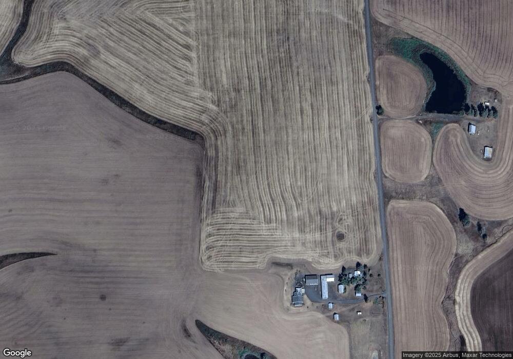
Map
Nearby Homes
- 000 Bethany Rd
- 1030 Wheatland Rd
- 301 E B St
- 812 Main St
- 901 E Main St
- Mount Acres Subdivision-Lot 15
- Mount Acres Subdivision-Lot 13
- Mount Acres Subdivision-Lot 3
- Mount Acres Subdivision-Lot 1
- Mount Acres Subdivision-Lot 12
- Mount Acres Subdivision-Lot 14
- 701 Wheeler St
- 1383 Cedar Ridge Rd
- 1040 Zimmerman Rd
- 1701 State Highway 3
- 000 Wendt Rd
- NKA North Rd
- TBD Burnt Ridge Rd Parcel 2
- 1647 State Highway 3
- TBD Burnt Ridge Rd Parcel 1