1261 Frying Pan Rd Dillon, MT 59725
Estimated Value: $862,161 - $1,843,000
2
Beds
2
Baths
1,232
Sq Ft
$1,098/Sq Ft
Est. Value
About This Home
This home is located at 1261 Frying Pan Rd, Dillon, MT 59725 and is currently estimated at $1,352,581, approximately $1,097 per square foot. 1261 Frying Pan Rd is a home located in Beaverhead County with nearby schools including Parkview School, Dillon Middle School, and Beaverhead Co High School.
Ownership History
Date
Name
Owned For
Owner Type
Purchase Details
Closed on
Dec 30, 2024
Sold by
Oliver Royce
Bought by
Clarke-Hoffman Elizabeth A
Current Estimated Value
Purchase Details
Closed on
Sep 9, 2024
Sold by
Oliver Todd Robert and Oliver Heather Sue
Bought by
Oliver Royce
Purchase Details
Closed on
Aug 31, 2009
Sold by
Brown Harold and Brown Linda
Bought by
Xanthopoulos John A and Xanthopoulos Susan E
Create a Home Valuation Report for This Property
The Home Valuation Report is an in-depth analysis detailing your home's value as well as a comparison with similar homes in the area
Purchase History
| Date | Buyer | Sale Price | Title Company |
|---|---|---|---|
| Clarke-Hoffman Elizabeth A | -- | Flying S Title And Escrow | |
| Clarke-Hoffman Elizabeth A | -- | Flying S Title And Escrow | |
| Clarke-Hoffman Elizabeth A | -- | Flying S Title And Escrow | |
| Oliver Royce | -- | Flying S Title And Escrow | |
| Oliver Royce | -- | None Listed On Document | |
| Xanthopoulos John A | -- | None Available |
Source: Public Records
Tax History
| Year | Tax Paid | Tax Assessment Tax Assessment Total Assessment is a certain percentage of the fair market value that is determined by local assessors to be the total taxable value of land and additions on the property. | Land | Improvement |
|---|---|---|---|---|
| 2025 | $2,873 | $597,450 | $0 | $0 |
| 2024 | $3,294 | $501,499 | $0 | $0 |
| 2023 | $3,849 | $534,566 | $0 | $0 |
| 2022 | $3,803 | $418,968 | $0 | $0 |
| 2021 | $3,902 | $418,968 | $0 | $0 |
| 2020 | $3,785 | $407,039 | $0 | $0 |
| 2019 | $3,734 | $406,989 | $0 | $0 |
| 2018 | $2,145 | $199,521 | $0 | $0 |
| 2017 | $2,163 | $199,521 | $0 | $0 |
| 2016 | $2,056 | $214,021 | $0 | $0 |
| 2015 | -- | $214,021 | $0 | $0 |
| 2014 | -- | $113,712 | $0 | $0 |
Source: Public Records
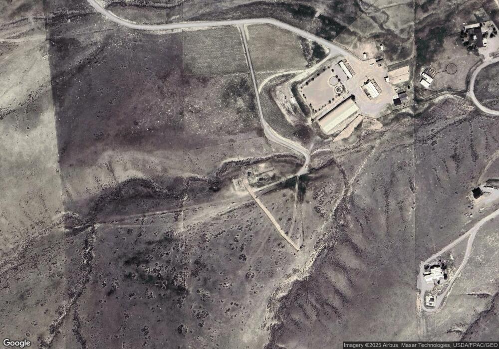
Map
Nearby Homes
- 600 Blue Ribbon Ln
- 710 Gamblers Run
- 190 Tenderfoot Trail
- 650 Frying Pan Rd
- 335 Expedition Dr
- 355 Meriwether Ln
- 355 Buffalo Dr
- 1070 Lovers Leap Rd
- 1325 Lovers Leap Rd
- 250 Pioneer Dr
- 15 Wendy Ln
- 343 N Montana St
- 804 N Rife St
- 23 Sunrise St
- 104 Timmons
- 43 Tobacco Root Rd
- 31 Tobacco Root Rd
- 9 Skihi St
- 1335 Cattle Dr
- 211 W Sebree St
- Lot 4 Blue Ribbon Ln
- Lot 3 Blue Ribbon Ln
- Lot 1 Blue Ribbon Ln
- TBD Blue Ribbon Ln
- 468 Gamblers Run
- 270 Gamblers Run
- 365 Gamblers Run
- 299 Gamblers Run
- 254 Gamblers Run
- 608 Gamblers Run
- 449 Gamblers Run
- 800 Gamblers Run
- 505 Gamblers Run
- 300 Gamblers Run
- 305 Gamblers Run
- 124 Gamblers Run
- 470 Tenderfoot Trail
- 693 Gamblers Run
- Lot 29 Pioneer Lookout Estates
- 50 Gamblers Run
Your Personal Tour Guide
Ask me questions while you tour the home.