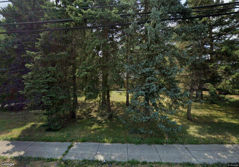
1261 Maple Rd Buffalo, NY 14221
South Amherst NeighborhoodEstimated Value: $311,000 - $354,000
3
Beds
2
Baths
1,341
Sq Ft
$245/Sq Ft
Est. Value
About This Home
This home is located at 1261 Maple Rd, Buffalo, NY 14221 and is currently estimated at $327,961, approximately $244 per square foot. 1261 Maple Rd is a home located in Erie County with nearby schools including Maple West Elementary School, Mill Middle School, and Williamsville South High School.
Ownership History
Date
Name
Owned For
Owner Type
Purchase Details
Closed on
Feb 4, 2022
Sold by
Pikula Maxwelle E and Pikula Maxwell
Bought by
Pikula Maxwell E and Alt Pikula Rachael
Current Estimated Value
Purchase Details
Closed on
Oct 4, 2005
Sold by
Cendant Mobility Relocation Co
Bought by
Pikula Maxwell E
Home Financials for this Owner
Home Financials are based on the most recent Mortgage that was taken out on this home.
Original Mortgage
$100,000
Outstanding Balance
$53,828
Interest Rate
5.85%
Mortgage Type
Purchase Money Mortgage
Estimated Equity
$274,133
Purchase Details
Closed on
Sep 26, 2005
Sold by
Pikula Ronald E and Pikula Shirley A
Bought by
Cendant Mobility Relocation Co
Home Financials for this Owner
Home Financials are based on the most recent Mortgage that was taken out on this home.
Original Mortgage
$100,000
Outstanding Balance
$53,828
Interest Rate
5.85%
Mortgage Type
Purchase Money Mortgage
Estimated Equity
$274,133
Create a Home Valuation Report for This Property
The Home Valuation Report is an in-depth analysis detailing your home's value as well as a comparison with similar homes in the area
Home Values in the Area
Average Home Value in this Area
Purchase History
| Date | Buyer | Sale Price | Title Company |
|---|---|---|---|
| Pikula Maxwell E | -- | None Available | |
| Pikula Maxwell E | $100,000 | None Available | |
| Cendant Mobility Relocation Co | $100,000 | None Available |
Source: Public Records
Mortgage History
| Date | Status | Borrower | Loan Amount |
|---|---|---|---|
| Open | Pikula Maxwell E | $100,000 |
Source: Public Records
Tax History Compared to Growth
Tax History
| Year | Tax Paid | Tax Assessment Tax Assessment Total Assessment is a certain percentage of the fair market value that is determined by local assessors to be the total taxable value of land and additions on the property. | Land | Improvement |
|---|---|---|---|---|
| 2024 | -- | $250,000 | $80,300 | $169,700 |
| 2023 | $5,548 | $155,000 | $66,300 | $88,700 |
| 2022 | $5,187 | $155,000 | $66,300 | $88,700 |
| 2021 | $5,091 | $155,000 | $66,300 | $88,700 |
| 2020 | $4,433 | $155,000 | $66,300 | $88,700 |
| 2019 | $5,899 | $155,000 | $66,300 | $88,700 |
| 2018 | $4,264 | $155,000 | $66,300 | $88,700 |
| 2017 | $1,839 | $155,000 | $66,300 | $88,700 |
| 2016 | $3,629 | $120,000 | $41,000 | $79,000 |
| 2015 | -- | $120,000 | $41,000 | $79,000 |
| 2014 | -- | $120,000 | $41,000 | $79,000 |
Source: Public Records
Map
Nearby Homes
- 59 Ponderosa Dr
- 1340 Maple Rd Unit 5
- 116 Segsbury Rd
- 331 Sherbrooke Ave
- 65 Guilford Ln Unit 5
- 50 Hamlin Square Unit H
- 55 Clearfield Dr
- 1420 Maple Rd Unit 5
- 55 Oakbrook Dr Unit H
- 69 Culpepper Rd
- 373 Hunters Ln
- 78 Hickory Hill Rd
- 64 Hickory Hill Rd
- 13 C Hickory Hill Rd Unit C
- 139 Presidents Walk
- 330 Hunters Ln
- 292 Oakbrook Dr
- 306 Sundown Trail Unit 3G
- 26 Village Gate Ct
- 177 Foxpoint W
- 421 Sherbrooke Ave
- 415 Sherbrooke Ave
- 427 Sherbrooke Ave
- 409 Sherbrooke Ave
- 403 Sherbrooke Ave
- 438 Hopkins Rd
- 448 Hopkins Rd
- 428 Hopkins Rd
- 397 Sherbrooke Ave
- 418 Hopkins Rd
- 418 Sherbrooke Ave
- 391 Sherbrooke Ave
- 420 Sherbrooke Ave
- 410 Sherbrooke Ave
- 1250 Maple Rd
- 400 Sherbrooke Ave
- 385 Sherbrooke Ave
- 396 Sherbrooke Ave
- 1221 Maple Rd
- 1216 Maple Rd
