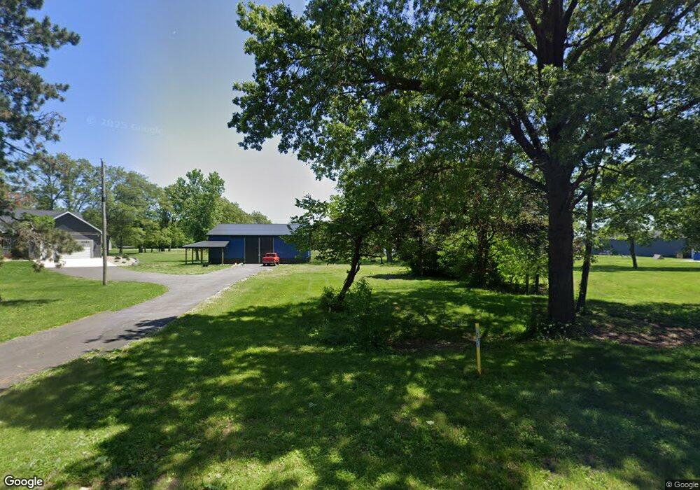
12611 S 700 W Wanatah, IN 46390
Estimated Value: $330,000 - $388,048
3
Beds
2
Baths
1,648
Sq Ft
$217/Sq Ft
Est. Value
About This Home
This home is located at 12611 S 700 W, Wanatah, IN 46390 and is currently estimated at $357,012, approximately $216 per square foot. 12611 S 700 W is a home located in LaPorte County.
Ownership History
Date
Name
Owned For
Owner Type
Purchase Details
Closed on
Aug 10, 2021
Sold by
Sims John and Sims Sandie
Bought by
Sims Joshua S
Current Estimated Value
Purchase Details
Closed on
May 7, 2021
Sold by
Sims Joshua S
Bought by
Sims Jon and Sims Sandie
Purchase Details
Closed on
Jun 6, 2019
Sold by
Trt Conboy
Bought by
Sims Joshua S
Purchase Details
Closed on
Oct 8, 2010
Sold by
Bono Zane and Bono Judy
Bought by
Sims Jon and Sims Sandie
Create a Home Valuation Report for This Property
The Home Valuation Report is an in-depth analysis detailing your home's value as well as a comparison with similar homes in the area
Home Values in the Area
Average Home Value in this Area
Purchase History
| Date | Buyer | Sale Price | Title Company |
|---|---|---|---|
| Sims Joshua S | -- | None Available | |
| Sims Jon | -- | None Available | |
| Sims Joshua S | -- | None Available | |
| Sims Jon | -- | Chicago Title Insurance Co |
Source: Public Records
Tax History Compared to Growth
Tax History
| Year | Tax Paid | Tax Assessment Tax Assessment Total Assessment is a certain percentage of the fair market value that is determined by local assessors to be the total taxable value of land and additions on the property. | Land | Improvement |
|---|---|---|---|---|
| 2024 | $4,234 | $309,600 | $53,800 | $255,800 |
| 2022 | $3,963 | $262,300 | $40,400 | $221,900 |
| 2021 | $4,006 | $249,800 | $37,500 | $212,300 |
| 2020 | $384 | $249,800 | $37,500 | $212,300 |
| 2019 | $1,150 | $76,800 | $33,500 | $43,300 |
| 2018 | $1,137 | $77,400 | $33,500 | $43,900 |
| 2017 | $1,070 | $76,200 | $33,500 | $42,700 |
| 2016 | $1,013 | $74,200 | $33,500 | $40,700 |
| 2014 | $1,295 | $97,300 | $33,500 | $63,800 |
Source: Public Records
Map
Nearby Homes
- 6465 W 1100 S
- 0 W Hwy 30 Unit GNR545374
- 307 N Pennsylvania St
- 114 E Jersey St
- 627 Fieldcrest Cir
- 305 N Ohio St
- 116 Sprunger Dr
- 104 W Cross St
- 106 N Illinois St Unit 266
- 105 Earl St
- 207 N Washington St
- 14501 S 400 W
- 9552 S Bigelow Mill Rd
- 6948 W 1700 S
- W 800 S V L
- 11333 S State Road 39
- 104 N Cummings St
- 210 Union St
- 627 E 300 S
- 7052 Long Ln