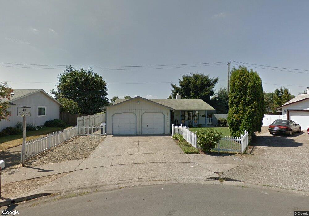
1262 Dola St Eugene, OR 97402
Bethel NeighborhoodEstimated Value: $356,921 - $375,000
3
Beds
1
Bath
1,100
Sq Ft
$330/Sq Ft
Est. Value
About This Home
This home is located at 1262 Dola St, Eugene, OR 97402 and is currently estimated at $362,980, approximately $329 per square foot. 1262 Dola St is a home located in Lane County with nearby schools including Danebo Elementary School, Shasta Middle School, and Willamette High School.
Ownership History
Date
Name
Owned For
Owner Type
Purchase Details
Closed on
Jun 1, 2015
Sold by
Seay E Joyce and Seay Edwina
Bought by
Bacod Pauline Rae and Thomas James Leon
Current Estimated Value
Home Financials for this Owner
Home Financials are based on the most recent Mortgage that was taken out on this home.
Original Mortgage
$160,000
Outstanding Balance
$122,631
Interest Rate
3.62%
Mortgage Type
New Conventional
Estimated Equity
$240,349
Purchase Details
Closed on
May 19, 2003
Sold by
Wimpy David E and Wimpy Joanne M
Bought by
Seay Benny F and Joyce Seay E
Home Financials for this Owner
Home Financials are based on the most recent Mortgage that was taken out on this home.
Original Mortgage
$79,900
Interest Rate
5.77%
Mortgage Type
Purchase Money Mortgage
Create a Home Valuation Report for This Property
The Home Valuation Report is an in-depth analysis detailing your home's value as well as a comparison with similar homes in the area
Home Values in the Area
Average Home Value in this Area
Purchase History
| Date | Buyer | Sale Price | Title Company |
|---|---|---|---|
| Bacod Pauline Rae | $160,000 | Cascade Title Company | |
| Seay Benny F | $129,900 | Western Title & Escrow Compa |
Source: Public Records
Mortgage History
| Date | Status | Borrower | Loan Amount |
|---|---|---|---|
| Open | Bacod Pauline Rae | $160,000 | |
| Previous Owner | Seay Benny F | $79,900 |
Source: Public Records
Tax History
| Year | Tax Paid | Tax Assessment Tax Assessment Total Assessment is a certain percentage of the fair market value that is determined by local assessors to be the total taxable value of land and additions on the property. | Land | Improvement |
|---|---|---|---|---|
| 2025 | $3,257 | $187,234 | -- | -- |
| 2024 | $3,175 | $181,781 | -- | -- |
| 2023 | $3,175 | $176,487 | $0 | $0 |
| 2022 | $2,955 | $171,347 | $0 | $0 |
| 2021 | $2,893 | $166,357 | $0 | $0 |
| 2020 | $2,809 | $161,512 | $0 | $0 |
| 2019 | $2,670 | $156,808 | $0 | $0 |
| 2018 | $2,596 | $147,807 | $0 | $0 |
| 2017 | $2,481 | $147,807 | $0 | $0 |
| 2016 | $2,418 | $143,502 | $0 | $0 |
| 2015 | $2,370 | $139,322 | $0 | $0 |
| 2014 | $2,334 | $135,264 | $0 | $0 |
Source: Public Records
Map
Nearby Homes
- 4548 Cambon St
- 1145 Ludgate Dr
- 1562 Philip St
- 4554 Woodsboro St
- 1159 Throne Dr
- 4941 Stagecoach Rd
- 4749 Royal Ave
- 1400 Candlelight Dr Unit 162
- 1400 Candlelight Dr Unit 208
- 1400 Candlelight Dr
- 1400 Candlelight Dr Unit 226
- 870 Laurelhurst Dr
- 4800 Barger Dr Unit 60
- 1153 Elizabeth St
- 1199 N Terry St
- 1199 N Terry St Unit 248
- 1199 N Terry St Unit 259
- 1199 N Terry St Unit 139
- 1199 N Terry St Unit 258
- 1199 N Terry St Unit SP113
Your Personal Tour Guide
Ask me questions while you tour the home.