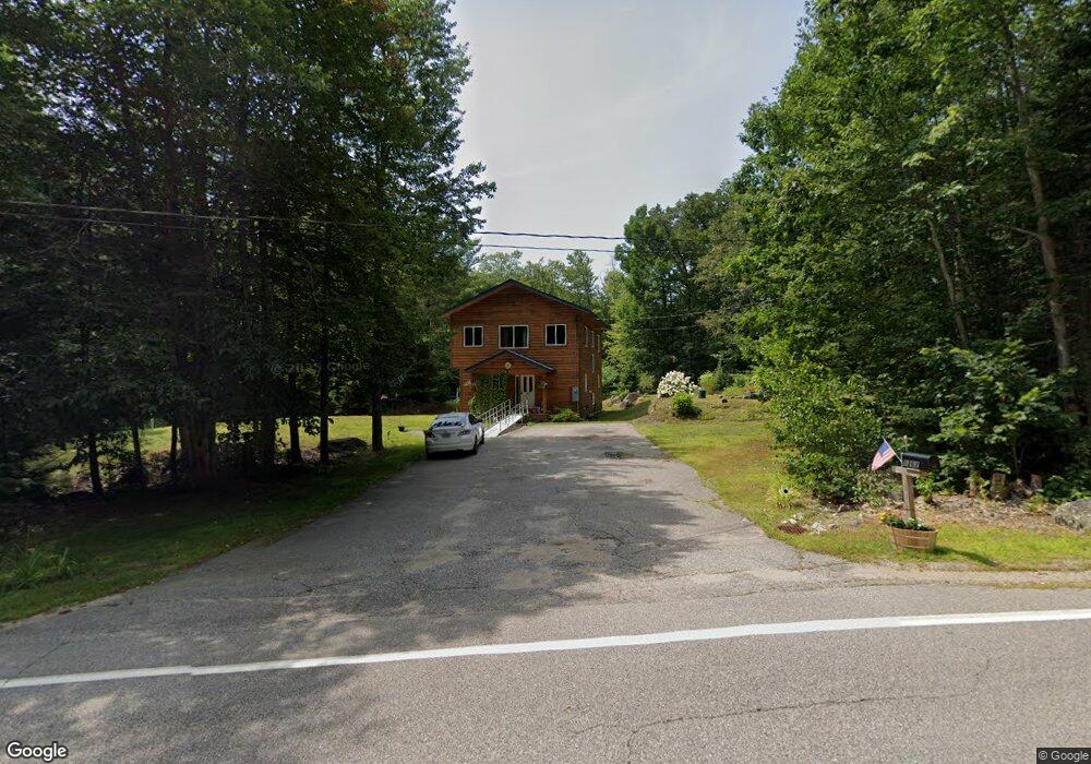
1262 Stark Rd Center Conway, NH 03813
Estimated Value: $420,000 - $594,000
3
Beds
2
Baths
1,600
Sq Ft
$313/Sq Ft
Est. Value
About This Home
This home is located at 1262 Stark Rd, Center Conway, NH 03813 and is currently estimated at $500,391, approximately $312 per square foot. 1262 Stark Rd is a home located in Carroll County with nearby schools including A. Crosby Kennett Middle School, Kennett High School, and Robert Frost Charter School.
Ownership History
Date
Name
Owned For
Owner Type
Purchase Details
Closed on
Jul 31, 2013
Sold by
Pothier William G and Casey Danieel R
Bought by
Brouillette Michael P and Mcdevitt Jayne E
Current Estimated Value
Purchase Details
Closed on
Jul 24, 2013
Sold by
Pothier William G and Casey Daniel R
Bought by
Brouillette Michael P and Mcdevitt Jayne E
Create a Home Valuation Report for This Property
The Home Valuation Report is an in-depth analysis detailing your home's value as well as a comparison with similar homes in the area
Home Values in the Area
Average Home Value in this Area
Purchase History
| Date | Buyer | Sale Price | Title Company |
|---|---|---|---|
| Brouillette Michael P | $27,700 | -- | |
| Brouillette Michael P | $27,700 | -- | |
| Brouillette Michael P | $152,000 | -- | |
| Brouillette Michael P | $152,000 | -- |
Source: Public Records
Mortgage History
| Date | Status | Borrower | Loan Amount |
|---|---|---|---|
| Open | Brouillette Michael P | $153,191 | |
| Closed | Brouillette Michael P | $0 |
Source: Public Records
Tax History Compared to Growth
Tax History
| Year | Tax Paid | Tax Assessment Tax Assessment Total Assessment is a certain percentage of the fair market value that is determined by local assessors to be the total taxable value of land and additions on the property. | Land | Improvement |
|---|---|---|---|---|
| 2024 | $5,316 | $439,300 | $65,200 | $374,100 |
| 2023 | $4,793 | $439,300 | $65,200 | $374,100 |
| 2022 | $4,371 | $242,000 | $65,200 | $176,800 |
| 2021 | $3,954 | $242,000 | $65,200 | $176,800 |
| 2020 | $4,196 | $242,000 | $65,200 | $176,800 |
| 2019 | $4,191 | $242,000 | $65,200 | $176,800 |
| 2018 | $4,431 | $212,300 | $55,200 | $157,100 |
| 2017 | $4,242 | $212,300 | $55,200 | $157,100 |
| 2016 | $4,100 | $212,300 | $55,200 | $157,100 |
| 2015 | $4,053 | $212,300 | $55,200 | $157,100 |
| 2014 | $4,004 | $212,300 | $55,200 | $157,100 |
| 2013 | $2,902 | $162,500 | $55,200 | $107,300 |
Source: Public Records
Map
Nearby Homes
- 1111 Stark Rd
- 108 Maple Manor Rd
- 48 Maple Manor Rd
- 137 Modock Hill Rd
- 592 Eaton Rd
- 15 Acadia Way
- -- Landsdown Ln
- 17 Skyline Way
- 148 Brenner Dr
- 108 Brenner Dr
- 74 Garmish Rd
- 24 Amars Place
- 149 Allard Hill Rd
- 44 Regent Hill Rd
- 26 Island Dr
- 369 Tasker Hill Rd
- 237 Eaton Rd
- 00 Brenner Dr
- 45 Haynesville Ave Unit 3
- 66 Woodland Grove