Estimated Value: $92,734 - $214,000
Studio
1
Bath
1,495
Sq Ft
$101/Sq Ft
Est. Value
About This Home
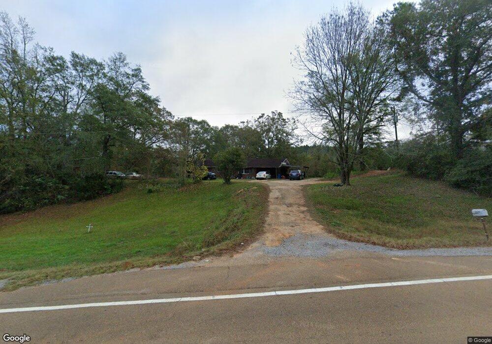
This home is located at 12620 Highway 492 E, Union, MS 39365 and is currently estimated at $151,578, approximately $101 per square foot. 12620 Highway 492 E is a home.
Create a Home Valuation Report for This Property
The Home Valuation Report is an in-depth analysis detailing your home's value as well as a comparison with similar homes in the area
Tax History
| Year | Tax Paid | Tax Assessment Tax Assessment Total Assessment is a certain percentage of the fair market value that is determined by local assessors to be the total taxable value of land and additions on the property. | Land | Improvement |
|---|---|---|---|---|
| 2025 | -- | $4,699 | $0 | $0 |
| 2024 | -- | $4,691 | $0 | $0 |
| 2023 | -- | $4,375 | $0 | $0 |
| 2022 | $481 | $4,384 | $0 | $0 |
| 2021 | $481 | $4,394 | $0 | $0 |
| 2020 | $482 | $4,403 | $0 | $0 |
| 2019 | $465 | $4,248 | $0 | $0 |
| 2018 | $466 | $4,258 | $0 | $0 |
| 2017 | $0 | $4,249 | $0 | $0 |
| 2016 | $0 | $4,227 | $0 | $0 |
| 2015 | -- | $4,822 | $0 | $0 |
| 2014 | -- | $4,805 | $0 | $0 |
Source: Public Records
Map
Nearby Homes
- 10300 Road 286
- 10020 Road 523
- 4188 Greenland Rd
- 12061 Highway 21 S
- 000 Greenland Rd
- 1421 Chesney Town Rd
- 0 Mississippi 15
- Hwy 19 Mississippi 491
- 11211 Road 723
- 702 E Jackson Rd
- 704 E Jackson Rd
- 201 5th St
- 408 North St
- 0 North St
- 4 County Road 444
- 1 County Road 444
- 14030 Road 505
- Battlefield Road Mt Pleasant Church Rd
- 309 Conehatta Rd
- Hwy 15 Union Unit MS 39365
- 10080 Road 513
- 12460 Highway 492 E
- 12741 Highway 492 E
- 12781 Highway 492 E
- 12411 Highway 492 E
- 10220 Road 513
- 10011 Road 288
- 10270 Road 513
- 12341 Highway 492 E
- 10360 Road 288
- 10100 Road 296
- 10120 Road 288
- 10181 Road 288
- 10371 Road 513
- 10601 Road 288
- 13040 Highway 492 E
- 10191 Road 296
- 10141 Road 511
- 10191 Road 511
- 10290 Road 511
Your Personal Tour Guide
Ask me questions while you tour the home.