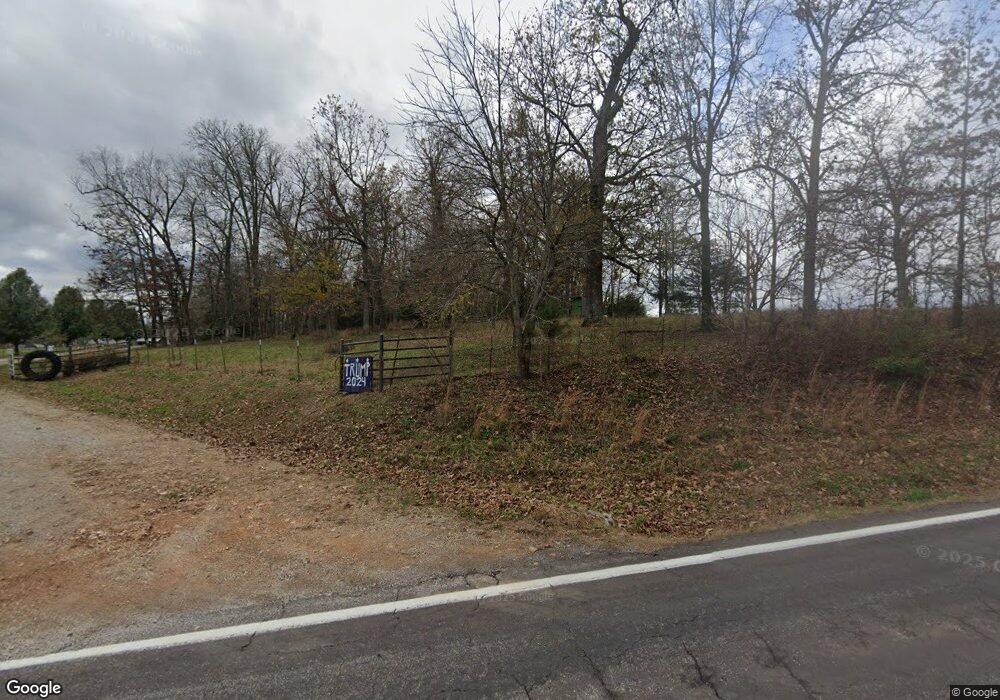
12625 State Route 17 West Plains, MO 65775
Estimated Value: $112,313 - $252,000
--
Bed
--
Bath
--
Sq Ft
0.63
Acres
About This Home
This home is located at 12625 State Route 17, West Plains, MO 65775 and is currently estimated at $182,078. 12625 State Route 17 is a home with nearby schools including Glenwood Elementary School.
Ownership History
Date
Name
Owned For
Owner Type
Purchase Details
Closed on
Nov 1, 2024
Sold by
Waggoner Kelby D and Hurtado Bethany L
Bought by
Brigman Brian
Current Estimated Value
Home Financials for this Owner
Home Financials are based on the most recent Mortgage that was taken out on this home.
Original Mortgage
$55,000
Outstanding Balance
$54,449
Interest Rate
6.09%
Mortgage Type
New Conventional
Estimated Equity
$127,629
Purchase Details
Closed on
Aug 13, 2021
Sold by
Weeks Rick and Weeks Marlo Young
Bought by
Waggoner Kelby D and Hurtado Bethany L
Home Financials for this Owner
Home Financials are based on the most recent Mortgage that was taken out on this home.
Original Mortgage
$100,957
Interest Rate
2.9%
Mortgage Type
FHA
Purchase Details
Closed on
Aug 6, 2020
Sold by
Weeks Rick
Bought by
Young Marlo J
Create a Home Valuation Report for This Property
The Home Valuation Report is an in-depth analysis detailing your home's value as well as a comparison with similar homes in the area
Home Values in the Area
Average Home Value in this Area
Purchase History
| Date | Buyer | Sale Price | Title Company |
|---|---|---|---|
| Brigman Brian | -- | Wiles Abstract & Title | |
| Brigman Brian | -- | Wiles Abstract & Title | |
| Waggoner Kelby D | -- | New Title Company Name | |
| Young Marlo J | -- | None Available |
Source: Public Records
Mortgage History
| Date | Status | Borrower | Loan Amount |
|---|---|---|---|
| Open | Brigman Brian | $55,000 | |
| Closed | Brigman Brian | $55,000 | |
| Previous Owner | Waggoner Kelby D | $100,957 |
Source: Public Records
Tax History Compared to Growth
Tax History
| Year | Tax Paid | Tax Assessment Tax Assessment Total Assessment is a certain percentage of the fair market value that is determined by local assessors to be the total taxable value of land and additions on the property. | Land | Improvement |
|---|---|---|---|---|
| 2025 | $524 | $15,520 | $1,810 | $13,710 |
| 2024 | $475 | $13,860 | -- | -- |
| 2023 | $475 | $13,860 | $0 | $0 |
| 2022 | $449 | $13,120 | $0 | $0 |
| 2021 | -- | $7,340 | $0 | $0 |
Source: Public Records
Map
Nearby Homes
- 12301 Missouri 17
- 6226 County Road 9300
- 12794 County Road 8790
- 12786 County Road 8870
- 000 County Road 8390
- 5160 County Road 9380
- 5122 County Road 9380
- 7260 County Road 9580
- 4180 Private Road 7201
- 13705 Missouri 17
- 000 State Route Jj
- 5506 County Road 9100
- Lot 2 State Highway Jj
- 4117 Private Road 7201
- 4154 Private Road 7201
- 000 County Road 9230
- 4408 County Road 7480
- 4150 County Road 7480
- 14524 Missouri 17
- 01 State Highway 142
- 12373 State Route 17
- 6014 County Road 9320
- 12300 Missouri 17
- 12242 State Route 17
- Tbd County Road 9320
- 000 County Road 9320
- 0 County Road 9320
- 12244 Missouri 17
- 12244 State Route 17
- 12445 State Route 17
- 12158 State Route 17
- 6112 County Road 9320
- 6084 County Road 9300
- 12163 Missouri 17
- 12163 State Route 17
- 12523 State Route 17
- 000 County Road 9301
- 12103 State Route 17
- 6270 County Road 8670
- 12439 Private Road 9301