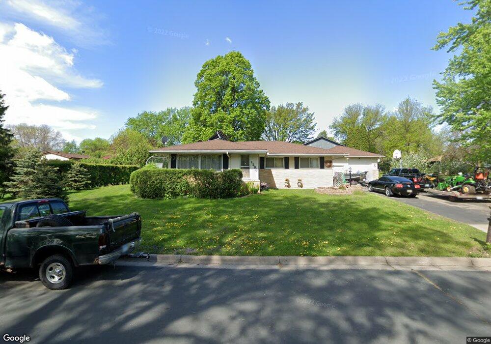
1263 Sperl St Saint Paul, MN 55118
Estimated Value: $369,000 - $422,000
3
Beds
3
Baths
1,208
Sq Ft
$321/Sq Ft
Est. Value
About This Home
This home is located at 1263 Sperl St, Saint Paul, MN 55118 and is currently estimated at $387,470, approximately $320 per square foot. 1263 Sperl St is a home located in Dakota County with nearby schools including Garlough Environmental Magnet, Heritage E-STEM Magnet School, and Two Rivers High School.
Ownership History
Date
Name
Owned For
Owner Type
Purchase Details
Closed on
Nov 17, 2004
Sold by
Darling James P and Darling Patti L
Bought by
Koski Wayne and Koski Jelena
Current Estimated Value
Purchase Details
Closed on
Jan 16, 2004
Sold by
Devito Michael H and Devito Patricia A
Bought by
Darling James P and Darling Patti L
Purchase Details
Closed on
May 23, 1997
Sold by
Devito Michael H and Devito Patricia A
Bought by
Darling James P and Darling Patti L
Create a Home Valuation Report for This Property
The Home Valuation Report is an in-depth analysis detailing your home's value as well as a comparison with similar homes in the area
Home Values in the Area
Average Home Value in this Area
Purchase History
| Date | Buyer | Sale Price | Title Company |
|---|---|---|---|
| Koski Wayne | $227,500 | -- | |
| Darling James P | $125,000 | -- | |
| Darling James P | $125,000 | -- |
Source: Public Records
Mortgage History
| Date | Status | Borrower | Loan Amount |
|---|---|---|---|
| Closed | Darling James P | -- |
Source: Public Records
Tax History Compared to Growth
Tax History
| Year | Tax Paid | Tax Assessment Tax Assessment Total Assessment is a certain percentage of the fair market value that is determined by local assessors to be the total taxable value of land and additions on the property. | Land | Improvement |
|---|---|---|---|---|
| 2024 | $738 | $345,100 | $99,800 | $245,300 |
| 2023 | $738 | $359,600 | $105,700 | $253,900 |
| 2022 | $0 | $330,700 | $105,400 | $225,300 |
| 2021 | $0 | $286,000 | $91,600 | $194,400 |
| 2020 | $0 | $278,400 | $87,300 | $191,100 |
| 2019 | $0 | $266,000 | $83,100 | $182,900 |
| 2018 | $0 | $236,700 | $77,700 | $159,000 |
| 2017 | $0 | $235,300 | $74,000 | $161,300 |
| 2016 | -- | $219,800 | $67,300 | $152,500 |
| 2015 | $489 | $0 | $0 | $0 |
| 2014 | $489 | $0 | $0 | $0 |
| 2013 | -- | $0 | $0 | $0 |
Source: Public Records
Map
Nearby Homes
- 203 Moreland Ave E
- 273 Butler Ave E
- 1251 Macarthur Ave
- 1107 Oakdale Ave
- 254 Arion St E
- 1523 Traverse Ln
- 1520 Traverse Ln
- 1522 Traverse Ln
- 1524 Traverse Ln
- 1526 Traverse Ln
- 360 Trenton Ln
- 1532 Trellis Ln
- Bayfield Plan at Thompson Square East
- Capri Plan at Thompson Square East
- 1531 Traverse Ln
- Hayward Plan at Thompson Square East
- Barcelona Plan at Thompson Square East
- Athens II Plan at Thompson Square East
- Athens Plan at Thompson Square East
- 1530 Trellis Ln
- 330 Moreland Cir
- 339 339 Moreland Cir
- 339 Kopp Dr
- 331 Kopp Dr
- 324 Moreland Cir
- 324 324 Moreland Cir
- 339 Moreland Cir
- 325 Kopp Dr
- 331 Moreland Cir
- 318 Moreland Cir
- 332 332 Kopp-Drive-
- 325 Moreland Cir
- 319 Kopp Dr
- 310 Moreland Cir
- 317 Moreland Cir
- 311 Kopp Dr
- 340 Kopp Dr
- 332 Kopp Dr
- 311 Moreland Cir
- 311 Moreland Cir