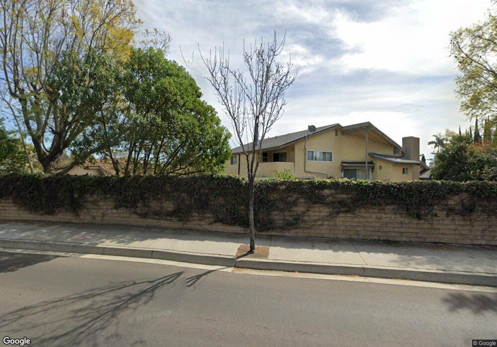
12633 Ocaso Ave La Mirada, CA 90638
Estimated Value: $1,421,000 - $1,560,965
4
Beds
4
Baths
3,318
Sq Ft
$448/Sq Ft
Est. Value
About This Home
This home is located at 12633 Ocaso Ave, La Mirada, CA 90638 and is currently estimated at $1,486,991, approximately $448 per square foot. 12633 Ocaso Ave is a home located in Los Angeles County with nearby schools including John Foster Dulles Elementary School, Reginald M. Benton Middle School, and La Mirada High School.
Ownership History
Date
Name
Owned For
Owner Type
Purchase Details
Closed on
Feb 27, 2023
Sold by
Gehrig Daniel M
Bought by
Daniel M Gehrig Trust
Current Estimated Value
Purchase Details
Closed on
Apr 8, 2011
Sold by
Stern Leon P and Stern Nancy
Bought by
Gehrig Daniel Michael
Home Financials for this Owner
Home Financials are based on the most recent Mortgage that was taken out on this home.
Original Mortgage
$488,000
Interest Rate
4.73%
Mortgage Type
New Conventional
Create a Home Valuation Report for This Property
The Home Valuation Report is an in-depth analysis detailing your home's value as well as a comparison with similar homes in the area
Home Values in the Area
Average Home Value in this Area
Purchase History
| Date | Buyer | Sale Price | Title Company |
|---|---|---|---|
| Daniel M Gehrig Trust | -- | -- | |
| Gehrig Daniel Michael | $610,000 | North American Title Co |
Source: Public Records
Mortgage History
| Date | Status | Borrower | Loan Amount |
|---|---|---|---|
| Previous Owner | Gehrig Daniel Michael | $488,000 |
Source: Public Records
Tax History Compared to Growth
Tax History
| Year | Tax Paid | Tax Assessment Tax Assessment Total Assessment is a certain percentage of the fair market value that is determined by local assessors to be the total taxable value of land and additions on the property. | Land | Improvement |
|---|---|---|---|---|
| 2025 | $9,981 | $781,507 | $384,346 | $397,161 |
| 2024 | $9,981 | $766,184 | $376,810 | $389,374 |
| 2023 | $9,640 | $751,162 | $369,422 | $381,740 |
| 2022 | $9,474 | $736,434 | $362,179 | $374,255 |
| 2021 | $9,334 | $721,995 | $355,078 | $366,917 |
| 2019 | $9,103 | $700,583 | $344,548 | $356,035 |
| 2018 | $8,646 | $686,847 | $337,793 | $349,054 |
| 2016 | $8,281 | $660,177 | $324,677 | $335,500 |
| 2015 | $8,212 | $650,262 | $319,801 | $330,461 |
| 2014 | $7,627 | $637,525 | $313,537 | $323,988 |
Source: Public Records
Map
Nearby Homes
- 15420 Olive Branch Dr
- 12604 Oxford Dr
- 13210 Avenida Socorro
- 13220 Fonseca Ave
- 14943 Gagely Dr
- 12010 La Cima Dr
- 13241 Oakwood Ln
- 15216 Mccann Place
- 15032 Olive Ln
- 15026 Olive Ln
- 15803 Silvergrove Dr
- 15053 Granada Ave
- 15856 Lawnhill Dr
- 14908 Gardenhill Dr
- 12406 Clearglen Ave
- 12817 Meadow Green Rd
- 12212 Hillwood Dr
- 14839 Hardaway Dr
- 15960 Glazebrook Dr
- 13115 Avenida Santa Tecla Unit 311-A
- 12631 Ocaso Ave
- 12635 Ocaso Ave
- 12621 Ocaso Ave
- 12619 Ocaso Ave
- 12707 Ocaso Ave
- 12625 Ocaso Ave
- 15327 Tacuba Dr
- 15244 Imperial Hwy
- 12611 Ocaso Ave
- 15321 Tacuba Dr
- 12634 Ocaso Ave
- 12626 Ocaso Ave
- 15328 Tacuba Dr
- 15326 Tacuba Dr
- 12717 Ocaso Ave
- 12700 Ocaso Ave
- 15311 Tacuba Dr
- 15306 Imperial Hwy
- 15320 Tacuba Dr
- 12727 Ocaso Ave