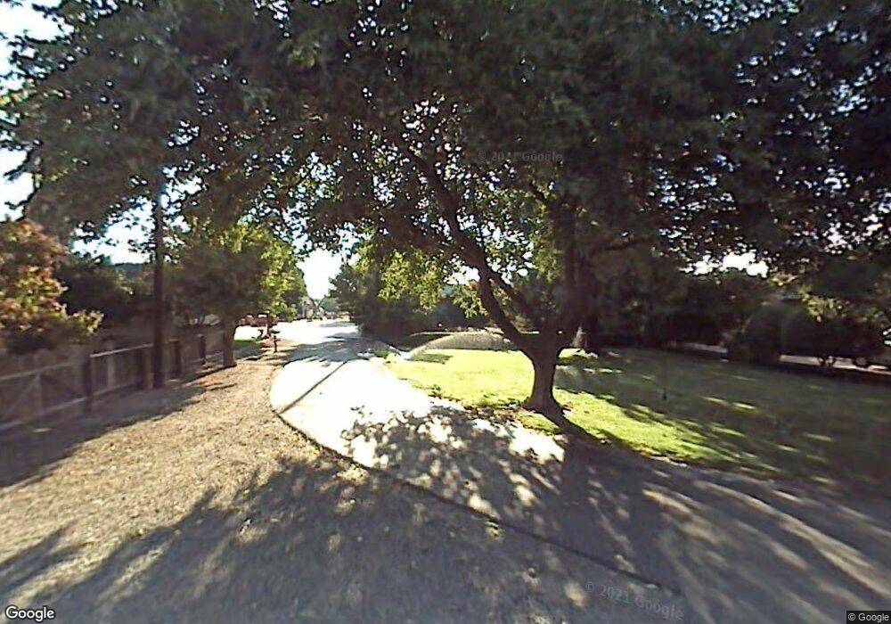
1264 Waring Rd Hughson, CA 95326
Estimated Value: $627,000 - $2,102,000
6
Beds
5
Baths
4,224
Sq Ft
$293/Sq Ft
Est. Value
About This Home
This home is located at 1264 Waring Rd, Hughson, CA 95326 and is currently estimated at $1,238,878, approximately $293 per square foot. 1264 Waring Rd is a home located in Stanislaus County with nearby schools including Fox Road Elementary School, Hughson Elementary School, and Emilie J. Ross Middle School.
Ownership History
Date
Name
Owned For
Owner Type
Purchase Details
Closed on
Apr 8, 2025
Sold by
Zambruno David M and Zambruno Lori A
Bought by
Zambruno Family Trust and Zambruno
Current Estimated Value
Purchase Details
Closed on
Dec 12, 2012
Sold by
Zambruno Dolores J
Bought by
Zambruno David
Create a Home Valuation Report for This Property
The Home Valuation Report is an in-depth analysis detailing your home's value as well as a comparison with similar homes in the area
Purchase History
| Date | Buyer | Sale Price | Title Company |
|---|---|---|---|
| Zambruno Family Trust | -- | None Listed On Document | |
| Zambruno David M | -- | None Listed On Document | |
| Zambruno David M | -- | None Listed On Document | |
| Zambruno David | -- | None Available |
Source: Public Records
Tax History
| Year | Tax Paid | Tax Assessment Tax Assessment Total Assessment is a certain percentage of the fair market value that is determined by local assessors to be the total taxable value of land and additions on the property. | Land | Improvement |
|---|---|---|---|---|
| 2025 | $10,230 | $873,131 | $207,183 | $665,948 |
| 2024 | $5,080 | $437,631 | $27,573 | $410,058 |
| 2023 | $4,962 | $429,052 | $27,033 | $402,019 |
| 2022 | $4,883 | $420,639 | $26,503 | $394,136 |
| 2021 | $4,791 | $412,393 | $25,984 | $386,409 |
| 2020 | $4,717 | $408,165 | $25,718 | $382,447 |
| 2019 | $4,664 | $400,163 | $25,214 | $374,949 |
| 2018 | $4,541 | $392,317 | $24,720 | $367,597 |
| 2017 | $4,573 | $384,799 | $24,236 | $360,563 |
| 2016 | $4,317 | $377,255 | $23,761 | $353,494 |
| 2015 | $4,251 | $371,590 | $23,405 | $348,185 |
| 2014 | $4,200 | $364,313 | $22,947 | $341,366 |
Source: Public Records
Map
Nearby Homes
- 8300 Jantzen Rd
- 875 Geer Rd
- 7708 Path Dr
- 13571 Wimer
- 7634 Path Dr
- 12088 Combine Ct
- 9337 Creekside Ln
- 218 N Eucalyptus Ave
- 328 Burns Creek Ct
- 770 Merriam Rd
- 326 Burns Creek Ct
- 7505 Vixen Ct
- 7542 Locust St
- 1606 Symphony Ln
- 625 N Hopper Rd
- 12501 Riverside Rd
- 955 Elma St
- 966 Elma St
- 4621 Swanson Rd
- 12356 Rose Way
- 1479 Waring Rd
- 1500 Verduga Rd
- 1354 Lowe Rd
- 9731 John Fox Rd
- 0 John Fox Rd
- 9906 John Fox Rd
- 1331 Lowe Rd
- 1379 Lowe Rd
- 1825 Verduga Rd
- 9548 John Fox Rd
- 825 Mcewen Rd
- 10673 John Fox Rd
- 9812 Pellerin Rd
- 58-acres Pellerin Rd
- acres Pellerin Rd
- 10613 John Fox Rd
- 1849 Sperry Rd
- 9367 John Fox Rd
- 1900 Verduga Rd
- 10548 John Fox Rd
