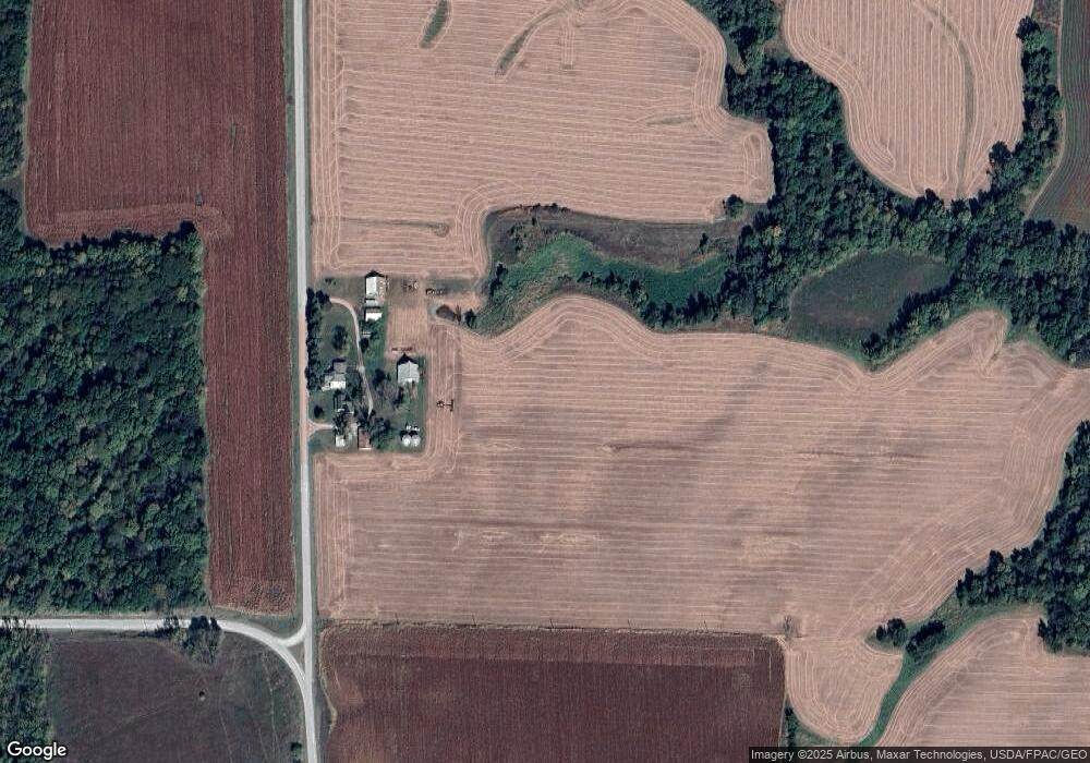
12648 L Ave Unit AVE12692 Columbus Junction, IA 52738
Estimated Value: $360,000 - $535,000
3
Beds
2
Baths
1,848
Sq Ft
$226/Sq Ft
Est. Value
About This Home
This home is located at 12648 L Ave Unit AVE12692, Columbus Junction, IA 52738 and is currently estimated at $418,541, approximately $226 per square foot. 12648 L Ave Unit AVE12692 is a home located in Louisa County with nearby schools including Louisa-Muscatine Elementary School and Louisa-Muscatine High School.
Ownership History
Date
Name
Owned For
Owner Type
Purchase Details
Closed on
Oct 31, 2017
Sold by
Drawbaugh Jeri L and Brockert Jeanette M
Bought by
Murray John Robert and Murray Teresa L
Current Estimated Value
Home Financials for this Owner
Home Financials are based on the most recent Mortgage that was taken out on this home.
Original Mortgage
$255,000
Outstanding Balance
$176,505
Interest Rate
3.83%
Mortgage Type
Future Advance Clause Open End Mortgage
Estimated Equity
$242,036
Create a Home Valuation Report for This Property
The Home Valuation Report is an in-depth analysis detailing your home's value as well as a comparison with similar homes in the area
Home Values in the Area
Average Home Value in this Area
Purchase History
| Date | Buyer | Sale Price | Title Company |
|---|---|---|---|
| Murray John Robert | $356,000 | None Available |
Source: Public Records
Mortgage History
| Date | Status | Borrower | Loan Amount |
|---|---|---|---|
| Open | Murray John Robert | $255,000 |
Source: Public Records
Tax History Compared to Growth
Tax History
| Year | Tax Paid | Tax Assessment Tax Assessment Total Assessment is a certain percentage of the fair market value that is determined by local assessors to be the total taxable value of land and additions on the property. | Land | Improvement |
|---|---|---|---|---|
| 2025 | $3,160 | $280,100 | $95,710 | $184,390 |
| 2024 | $3,078 | $237,820 | $76,280 | $161,540 |
| 2023 | $3,078 | $237,820 | $76,280 | $161,540 |
| 2022 | $2,836 | $195,940 | $59,490 | $136,450 |
| 2021 | $2,848 | $195,940 | $59,490 | $136,450 |
| 2020 | $2,848 | $195,313 | $69,113 | $126,200 |
| 2019 | $2,734 | $195,430 | $69,230 | $126,200 |
| 2018 | $2,690 | $218,248 | $93,520 | $124,728 |
| 2017 | $2,690 | $216,024 | $0 | $0 |
| 2016 | $2,508 | $216,024 | $90,500 | $125,524 |
| 2015 | $2,508 | $216,024 | $90,500 | $125,524 |
| 2014 | $2,430 | $203,797 | $74,954 | $128,843 |
Source: Public Records
Map
Nearby Homes
- 17297 State Hwy 92
- 17297 Iowa 92
- 17297 Highway 92
- 18173 115th St
- 609 Townsend Ave
- 419 Van Buren St
- 000 140th St
- 00 140th St
- 530 Washington St
- 521 Washington St
- 534 Jefferson St
- 404 Jefferson St
- 327 S 2nd St
- 418 S 5th St
- 0000
- 116 Roy El Rd
- 609 S Main St
- 4005 Concord Ln
- 4001 Concord Ln
- 4003 Concord Ln