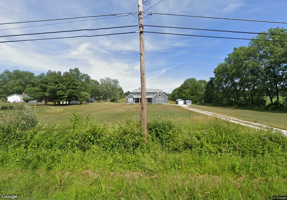
12656 Osborne Ave NE Alliance, OH 44601
Estimated Value: $378,000 - $648,359
4
Beds
3
Baths
2,416
Sq Ft
$228/Sq Ft
Est. Value
About This Home
This home is located at 12656 Osborne Ave NE, Alliance, OH 44601 and is currently estimated at $550,590, approximately $227 per square foot. 12656 Osborne Ave NE is a home with nearby schools including Marlington High School.
Ownership History
Date
Name
Owned For
Owner Type
Purchase Details
Closed on
Jul 27, 2018
Sold by
Compton Randall L
Bought by
Perez Jason R and Perez Andrea
Current Estimated Value
Home Financials for this Owner
Home Financials are based on the most recent Mortgage that was taken out on this home.
Original Mortgage
$310,590
Outstanding Balance
$270,324
Interest Rate
4.6%
Mortgage Type
Construction
Estimated Equity
$280,266
Purchase Details
Closed on
Jan 16, 2018
Sold by
P & J Windy Farms Llc
Bought by
Compton Randall L
Create a Home Valuation Report for This Property
The Home Valuation Report is an in-depth analysis detailing your home's value as well as a comparison with similar homes in the area
Home Values in the Area
Average Home Value in this Area
Purchase History
| Date | Buyer | Sale Price | Title Company |
|---|---|---|---|
| Perez Jason R | $65,000 | None Available | |
| Compton Randall L | $42,100 | None Available |
Source: Public Records
Mortgage History
| Date | Status | Borrower | Loan Amount |
|---|---|---|---|
| Open | Perez Jason R | $310,590 |
Source: Public Records
Tax History Compared to Growth
Tax History
| Year | Tax Paid | Tax Assessment Tax Assessment Total Assessment is a certain percentage of the fair market value that is determined by local assessors to be the total taxable value of land and additions on the property. | Land | Improvement |
|---|---|---|---|---|
| 2025 | -- | $200,030 | $55,200 | $144,830 |
| 2024 | -- | $200,030 | $55,200 | $144,830 |
| 2023 | $4,847 | $131,330 | $32,240 | $99,090 |
| 2022 | $4,864 | $131,330 | $32,240 | $99,090 |
| 2021 | $4,881 | $131,330 | $32,240 | $99,090 |
| 2020 | $5,555 | $114,460 | $28,040 | $86,420 |
| 2019 | $2,203 | $6,020 | $6,020 | $0 |
| 2018 | $237 | $6,020 | $6,020 | $0 |
| 2017 | $0 | $0 | $0 | $0 |
Source: Public Records
Map
Nearby Homes
- 8736 Lynn Park St NE
- 14265 Reeder Ave NE
- 7377 Pontius St NE
- 0 New Milford Rd Unit 5119787
- 6180 Edison St NE
- 167 State Route 44
- 4829 Laubert Rd
- 3952 Laubert Rd
- 0 Pontius St NE
- 12355 Edison St NE
- 12415 Snode St NE
- 5615 Laubert Rd
- 3990 Edison St NE
- 12561 Duquette Ave NE
- 14920 Mccallum Ave NE
- 11960 Freshley Ave NE
- 10666 Wilma Ave NE
- 13004 Edison St NE
- 13109 Edison St NE
- 5296 Eberly Rd
- 8700 Lynnett St NE
- 8800 Lynnett St NE
- 8670 Lynnett St NE
- 8687 Lynnett St NE
- 8741 Lynnett St NE
- 8890 Lynnett St NE
- 8640 Lynnett St NE
- 8639 Lynnett St NE
- 8825 Lynnett St NE
- 8754 Lynn Park St NE
- 12762 Osborne Ave NE
- 12540 Osborne Ave NE
- 8865 Lynnett St NE
- 8682 Lynn Park St NE
- 12488 Osborne Ave NE
- 8780 Lynn Park St NE
- 12786 Osborne Ave NE
- 12775 Wentz Ave NE
- 8820 Lynn Park St NE
- 12542 Osborne Ave NE