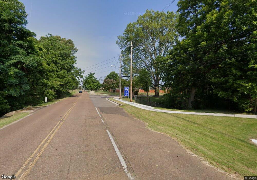
12664 Rolling Forrest Dr Arlington, TN 38002
Estimated Value: $636,000 - $725,453
5
Beds
4
Baths
3,762
Sq Ft
$181/Sq Ft
Est. Value
About This Home
This home is located at 12664 Rolling Forrest Dr, Arlington, TN 38002 and is currently estimated at $681,363, approximately $181 per square foot. 12664 Rolling Forrest Dr is a home with nearby schools including Donelson Elementary School, Arlington Middle School, and Arlington High School.
Ownership History
Date
Name
Owned For
Owner Type
Purchase Details
Closed on
Aug 7, 2017
Sold by
Crossnine Steve and Crossnine Amy
Bought by
Niccum Shane and Niccum Marissa
Current Estimated Value
Purchase Details
Closed on
Dec 28, 2007
Sold by
Community Bank Na
Bought by
Crossnine Steve and Crossnine Amy
Home Financials for this Owner
Home Financials are based on the most recent Mortgage that was taken out on this home.
Original Mortgage
$67,500
Interest Rate
6.15%
Mortgage Type
Unknown
Purchase Details
Closed on
Oct 3, 2007
Sold by
Mark Matthews Development Llc
Bought by
Community Bank Na and Community Bank
Create a Home Valuation Report for This Property
The Home Valuation Report is an in-depth analysis detailing your home's value as well as a comparison with similar homes in the area
Home Values in the Area
Average Home Value in this Area
Purchase History
| Date | Buyer | Sale Price | Title Company |
|---|---|---|---|
| Niccum Shane | $70,000 | None Available | |
| Crossnine Steve | $75,000 | None Available | |
| Community Bank Na | $398,989 | None Available |
Source: Public Records
Mortgage History
| Date | Status | Borrower | Loan Amount |
|---|---|---|---|
| Previous Owner | Crossnine Steve | $67,500 | |
| Closed | Niccum Shane | $0 |
Source: Public Records
Tax History Compared to Growth
Tax History
| Year | Tax Paid | Tax Assessment Tax Assessment Total Assessment is a certain percentage of the fair market value that is determined by local assessors to be the total taxable value of land and additions on the property. | Land | Improvement |
|---|---|---|---|---|
| 2025 | $6,185 | $161,125 | $28,000 | $133,125 |
| 2024 | $6,185 | $132,450 | $21,200 | $111,250 |
| 2023 | $6,185 | $132,450 | $21,200 | $111,250 |
| 2022 | $6,185 | $132,450 | $21,200 | $111,250 |
| 2021 | $6,265 | $132,450 | $21,200 | $111,250 |
| 2020 | $5,515 | $101,750 | $21,200 | $80,550 |
| 2019 | $4,121 | $101,750 | $21,200 | $80,550 |
| 2018 | $1,102 | $21,200 | $21,200 | $0 |
| 2017 | $1,115 | $21,200 | $21,200 | $0 |
| 2016 | $1,170 | $21,200 | $0 | $0 |
| 2014 | $926 | $21,200 | $0 | $0 |
Source: Public Records
Map
Nearby Homes
- 12656 Rolling Lake Dr
- 5167 Rachel Forest Cove
- 160 Oak Hill Ln
- 5370 Scarlet Ridge Dr
- 245 Cypress Lake Cove
- 5380 Scarlet Ridge Dr
- 13011 Interstate 40
- 0 Harris Rd Unit 10204825
- 0 Harris Rd Unit 10203803
- 0 Harris Rd Unit 10203299
- 0 Harris Rd Unit 10201750
- 0 Chester St Unit 10203801
- 0 Chester St Unit 10202580
- 0 Chester St Unit 10160088
- 2605 Harrell Dr
- 5405 Southern Winds Dr
- 5585 Heather Oak Dr
- 5511 Heather Oak Dr
- 12713 Heather Mist Cove
- 5521 Heather Oak Dr
- 5136 Rachel Forest Cove
- 5123 Brian Ridge Rd
- 5087 Brian Ridge Rd
- 5080 Rolling Creek Cove
- 5115 Rachel Forrest Cove
- 12697 N Rolling Lake Dr
- 5091 Rolling Creek Cove
- 0 Rolling Lake Dr Unit 3147963
- 0 Rolling Lake Drive Dr Unit 9948590
- 5059 Brian Ridge Rd
- 0 Brian Ridge Rd Unit 3173627
- 0 Brian Ridge Rd Unit 3173626
- 5139 Rachel Forrest Cove
- 5124 Brian Ridge Rd
- 5098 Brian Ridge Rd
- 5067 Rolling Creek Cove
- 5050 Rolling Creek Cove
- 5200 Rachel Forest Cove
- 12680 Rolling Lake Dr
- 5144 Brian Ridge Rd
