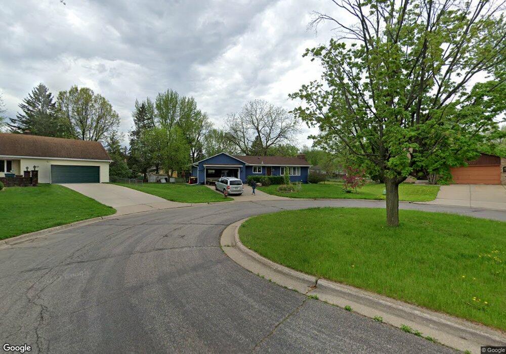
1269 Harmon Ct Saint Paul, MN 55118
Estimated Value: $416,000 - $447,000
4
Beds
3
Baths
2,920
Sq Ft
$148/Sq Ft
Est. Value
About This Home
This home is located at 1269 Harmon Ct, Saint Paul, MN 55118 and is currently estimated at $431,499, approximately $147 per square foot. 1269 Harmon Ct is a home located in Dakota County with nearby schools including Moreland Arts & Health Sciences Magnet School, Heritage E-STEM Magnet School, and Two Rivers High School.
Ownership History
Date
Name
Owned For
Owner Type
Purchase Details
Closed on
Aug 20, 2020
Sold by
Mapellentz James E and Mapellentz Sarah
Bought by
Lamusga Nathaniel G and Lamusga Hilary
Current Estimated Value
Home Financials for this Owner
Home Financials are based on the most recent Mortgage that was taken out on this home.
Original Mortgage
$291,125
Outstanding Balance
$257,767
Interest Rate
2.9%
Mortgage Type
New Conventional
Estimated Equity
$173,732
Create a Home Valuation Report for This Property
The Home Valuation Report is an in-depth analysis detailing your home's value as well as a comparison with similar homes in the area
Home Values in the Area
Average Home Value in this Area
Purchase History
| Date | Buyer | Sale Price | Title Company |
|---|---|---|---|
| Lamusga Nathaniel G | $342,500 | Title One Inc |
Source: Public Records
Mortgage History
| Date | Status | Borrower | Loan Amount |
|---|---|---|---|
| Open | Lamusga Nathaniel G | $291,125 |
Source: Public Records
Tax History Compared to Growth
Tax History
| Year | Tax Paid | Tax Assessment Tax Assessment Total Assessment is a certain percentage of the fair market value that is determined by local assessors to be the total taxable value of land and additions on the property. | Land | Improvement |
|---|---|---|---|---|
| 2024 | $4,868 | $384,800 | $92,300 | $292,500 |
| 2023 | $4,868 | $394,300 | $97,700 | $296,600 |
| 2022 | $4,420 | $386,800 | $97,400 | $289,400 |
| 2021 | $4,312 | $340,800 | $84,700 | $256,100 |
| 2020 | $4,106 | $330,700 | $80,700 | $250,000 |
| 2019 | $3,790 | $307,900 | $76,800 | $231,100 |
| 2018 | $3,653 | $273,800 | $71,800 | $202,000 |
| 2017 | $3,241 | $275,000 | $68,400 | $206,600 |
| 2016 | $3,034 | $238,000 | $62,200 | $175,800 |
| 2015 | $2,995 | $207,792 | $56,385 | $151,407 |
| 2014 | -- | $198,636 | $51,954 | $146,682 |
| 2013 | -- | $179,997 | $47,144 | $132,853 |
Source: Public Records
Map
Nearby Homes
- 176 Logan Ave W
- 69 Langer Cir
- 1213 Smith Ave S
- 1468 Charlton St
- 1172 Ottawa Ave
- 1450 Bidwell St Unit 110
- 10 Logan Ave E
- 1053 Smith Ave S
- 8 Dorset Rd
- 1076 Humboldt Ave
- 1164 Dodd Rd
- 1620 Charlton St Unit 109
- 962 Smith Ave S
- 1174 Dodd Rd
- 242 Annapolis St W
- 967 Cherokee Ave
- 1251 Macarthur Ave
- 934 Ottawa Ave
- 955 Cherokee Ave
- 635 Ivy Falls Ave
- 1265 Harmon Ct
- 1272 Harmon Ct
- 1276 Charlton St
- 1268 1268 Harmon Ct
- 1269 1269 Harmon Ct
- 229 Logan Ave W
- 1257 Harmon Ct
- 239 Logan Ave W
- 1257 Harmon Ct
- 1257 Harmon Ave
- 1282 Charlton St
- 225 Logan Ave W
- 1268 Harmon Ct
- 219 Logan Ave W
- 1262 Harmon Ct
- 1262 Harmon Ct
- 1254 Charlton St
- 1296 Charlton St
- 215 Logan Ave W
- 1249 Harmon Ct