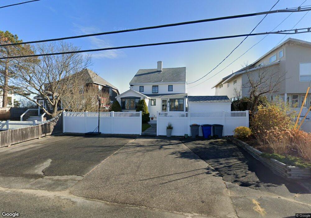
127 Atlantic Ave Seabrook, NH 03874
Seabrook Beach NeighborhoodEstimated Value: $1,562,000 - $2,470,542
4
Beds
5
Baths
2,134
Sq Ft
$996/Sq Ft
Est. Value
About This Home
This home is located at 127 Atlantic Ave, Seabrook, NH 03874 and is currently estimated at $2,125,181, approximately $995 per square foot. 127 Atlantic Ave is a home with nearby schools including Seabrook Elementary School, Seabrook Middle School, and Winnacunnet High School.
Ownership History
Date
Name
Owned For
Owner Type
Purchase Details
Closed on
Jul 13, 2015
Sold by
Levon Chertavian Ret
Bought by
Chertavian Gerald C
Current Estimated Value
Purchase Details
Closed on
Oct 11, 2012
Sold by
Joyce A Chertavian Ret
Bought by
Chertavian Levon
Create a Home Valuation Report for This Property
The Home Valuation Report is an in-depth analysis detailing your home's value as well as a comparison with similar homes in the area
Home Values in the Area
Average Home Value in this Area
Purchase History
| Date | Buyer | Sale Price | Title Company |
|---|---|---|---|
| Chertavian Gerald C | $453,204 | -- | |
| Chertavian Levon | -- | -- |
Source: Public Records
Tax History Compared to Growth
Tax History
| Year | Tax Paid | Tax Assessment Tax Assessment Total Assessment is a certain percentage of the fair market value that is determined by local assessors to be the total taxable value of land and additions on the property. | Land | Improvement |
|---|---|---|---|---|
| 2024 | $25,254 | $2,154,800 | $1,854,700 | $300,100 |
| 2023 | $25,624 | $1,698,100 | $1,478,800 | $219,300 |
| 2022 | $22,901 | $1,728,400 | $1,478,800 | $249,600 |
| 2021 | $23,731 | $1,728,400 | $1,478,800 | $249,600 |
| 2020 | $22,296 | $1,396,100 | $1,199,200 | $196,900 |
| 2019 | $21,989 | $1,396,100 | $1,199,200 | $196,900 |
| 2018 | $20,694 | $1,273,500 | $1,076,600 | $196,900 |
| 2017 | $20,694 | $1,273,500 | $1,076,600 | $196,900 |
| 2016 | $18,835 | $1,273,500 | $1,076,600 | $196,900 |
| 2015 | $17,967 | $1,214,800 | $1,035,800 | $179,000 |
| 2014 | $18,550 | $1,214,800 | $1,035,800 | $179,000 |
| 2013 | $18,550 | $1,214,800 | $1,035,800 | $179,000 |
Source: Public Records
Map
Nearby Homes
- 9 Tyngsboro St
- 376 Ocean Blvd
- 126 Ocean Blvd
- 18 River St
- 27 Cross Beach Rd
- 595 N End Blvd Unit 2
- 308 State Route 286 Unit Lot 73
- 308 State Route 286 Unit Lot 108
- 308 State Route 286 Unit Lot 23
- 308 State Route 286 Unit Lot 87
- 522 N End Blvd
- 498 N End Blvd
- 492 N End Blvd
- 308 Route 286 Unit 77
- 308 Route 286 Unit Lot 58
- 312 S Main St
- 13-15 Ocean Blvd
- 13 Ocean Blvd
- 15 Ocean Blvd
- 432 N End Blvd
- 123 Atlantic Ave
- 131 Atlantic Ave
- 129 Atlantic Ave
- 115 Atlantic Ave
- 124 Atlantic Ave
- 132 Atlantic Ave
- 111 Atlantic Ave
- 114 Atlantic Ave
- 21 Dracut St
- 143 Atlantic Ave
- 18 Lowell St Unit Upstairs Unit
- 18 Lowell St Unit Downstairs unit
- 18 Lowell St
- 18 Lowell St Unit Downstairs
- 18 Lowell St (Down)
- 18 Lowell St Unit Up
- 18 Lowell St Unit down
- 9 Lowell St
- 9 Lowell St Unit ID1333677P
- 107 Atlantic Ave