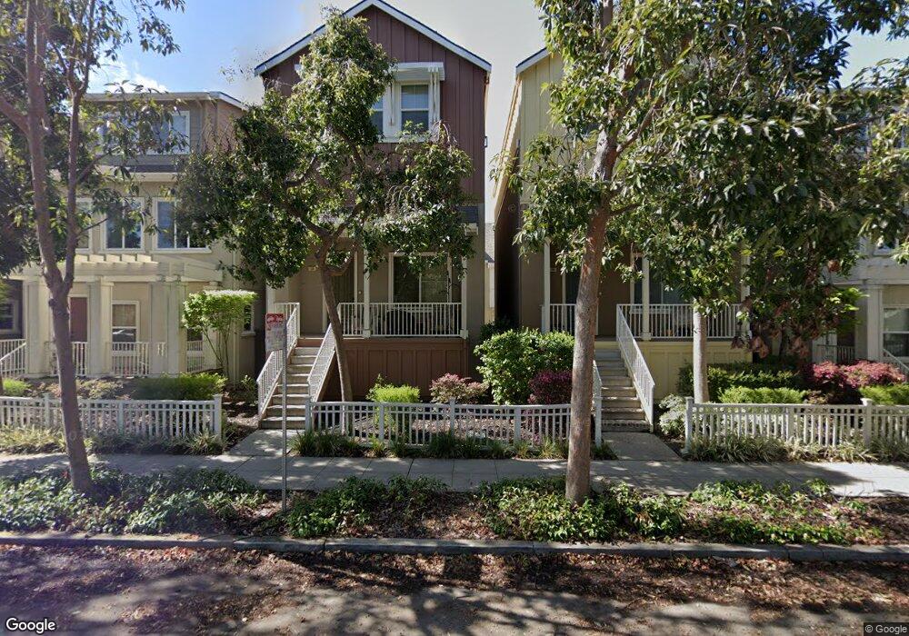
127 Azalea Dr Mountain View, CA 94041
Estimated Value: $2,210,000 - $2,817,000
3
Beds
4
Baths
1,844
Sq Ft
$1,288/Sq Ft
Est. Value
About This Home
This home is located at 127 Azalea Dr, Mountain View, CA 94041 and is currently estimated at $2,375,532, approximately $1,288 per square foot. 127 Azalea Dr is a home located in Santa Clara County with nearby schools including Edith Landels Elementary School, Isaac Newton Graham Middle School, and Mountain View High School.
Ownership History
Date
Name
Owned For
Owner Type
Purchase Details
Closed on
May 1, 2012
Sold by
Chen Po Ta and Yang Yen Tin
Bought by
Chen Po Ta and Yang Yen Tin
Current Estimated Value
Home Financials for this Owner
Home Financials are based on the most recent Mortgage that was taken out on this home.
Original Mortgage
$692,000
Outstanding Balance
$461,552
Interest Rate
3.12%
Mortgage Type
New Conventional
Estimated Equity
$1,913,980
Purchase Details
Closed on
Aug 11, 2008
Sold by
Castle Principles Llc
Bought by
Chen Po Ta and Yang Yen Tin
Home Financials for this Owner
Home Financials are based on the most recent Mortgage that was taken out on this home.
Original Mortgage
$704,276
Interest Rate
6.27%
Mortgage Type
Purchase Money Mortgage
Create a Home Valuation Report for This Property
The Home Valuation Report is an in-depth analysis detailing your home's value as well as a comparison with similar homes in the area
Home Values in the Area
Average Home Value in this Area
Purchase History
| Date | Buyer | Sale Price | Title Company |
|---|---|---|---|
| Chen Po Ta | -- | Fidelity National Title Co | |
| Chen Po Ta | $939,500 | First American Title Co |
Source: Public Records
Mortgage History
| Date | Status | Borrower | Loan Amount |
|---|---|---|---|
| Open | Chen Po Ta | $692,000 | |
| Closed | Chen Po Ta | $704,276 |
Source: Public Records
Tax History
| Year | Tax Paid | Tax Assessment Tax Assessment Total Assessment is a certain percentage of the fair market value that is determined by local assessors to be the total taxable value of land and additions on the property. | Land | Improvement |
|---|---|---|---|---|
| 2025 | $13,965 | $1,209,238 | $579,487 | $629,751 |
| 2024 | $13,965 | $1,185,528 | $568,125 | $617,403 |
| 2023 | $13,821 | $1,162,284 | $556,986 | $605,298 |
| 2022 | $13,782 | $1,139,495 | $546,065 | $593,430 |
| 2021 | $13,444 | $1,117,153 | $535,358 | $581,795 |
| 2020 | $13,461 | $1,105,699 | $529,869 | $575,830 |
| 2019 | $12,894 | $1,084,020 | $519,480 | $564,540 |
| 2018 | $12,756 | $1,062,766 | $509,295 | $553,471 |
| 2017 | $12,227 | $1,041,928 | $499,309 | $542,619 |
| 2016 | $11,875 | $1,021,499 | $489,519 | $531,980 |
| 2015 | $11,533 | $1,006,156 | $482,166 | $523,990 |
| 2014 | $11,427 | $986,448 | $472,722 | $513,726 |
Source: Public Records
Map
Nearby Homes
- 205 Houghton St
- 111 Nancy Ct
- 120 Orchard Ave
- 231 Hope St
- 119 Easy St Unit 7
- 225 Hope St
- 221 Hope St
- 229 Hope St
- 793 Calderon Ave
- 159 Centre St
- 136 Avellino Way
- 100 W El Camino Real Unit 40
- 201 Ada Ave Unit 25
- 181 Ada Ave Unit 50
- 108 Bryant St Unit 28
- 108 Bryant St Unit 30
- 227 Ada Ave Unit B
- 501 Moorpark Way Unit 65
- 365 Shelby Dr
- 280 Easy St Unit 406
Your Personal Tour Guide
Ask me questions while you tour the home.