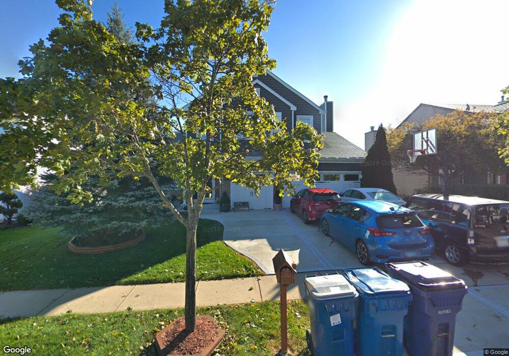
127 Cedarfield Dr Bartlett, IL 60103
Estimated Value: $451,653 - $464,000
3
Beds
3
Baths
1,806
Sq Ft
$253/Sq Ft
Est. Value
About This Home
This home is located at 127 Cedarfield Dr, Bartlett, IL 60103 and is currently estimated at $456,163, approximately $252 per square foot. 127 Cedarfield Dr is a home located in Cook County with nearby schools including Nature Ridge Elementary School, Kenyon Woods Middle School, and South Elgin High School.
Ownership History
Date
Name
Owned For
Owner Type
Purchase Details
Closed on
Dec 1, 1997
Sold by
Centex Homes
Bought by
Parkins Thomas J and Parkins Kimberly
Current Estimated Value
Home Financials for this Owner
Home Financials are based on the most recent Mortgage that was taken out on this home.
Original Mortgage
$214,600
Outstanding Balance
$31,320
Interest Rate
7.24%
Estimated Equity
$424,843
Create a Home Valuation Report for This Property
The Home Valuation Report is an in-depth analysis detailing your home's value as well as a comparison with similar homes in the area
Home Values in the Area
Average Home Value in this Area
Purchase History
We collect this data history from publicly available records. To have your information removed, we recommend requesting removal directly through your county’s website.
| Date | Buyer | Sale Price | Title Company |
|---|---|---|---|
| Parkins Thomas J | $233,500 | Chicago Title Insurance Co |
Source: Public Records
Mortgage History
We collect this data history from publicly available records. To have your information removed, we recommend requesting removal directly through your county’s website.
| Date | Status | Borrower | Loan Amount |
|---|---|---|---|
| Open | Parkins Thomas J | $214,600 |
Source: Public Records
Tax History
| Year | Tax Paid | Tax Assessment Tax Assessment Total Assessment is a certain percentage of the fair market value that is determined by local assessors to be the total taxable value of land and additions on the property. | Land | Improvement |
|---|---|---|---|---|
| 2025 | $9,160 | $41,000 | $7,475 | $33,525 |
| 2024 | $9,160 | $31,736 | $6,354 | $25,382 |
| 2023 | $8,826 | $31,736 | $6,354 | $25,382 |
| 2022 | $8,826 | $31,736 | $6,354 | $25,382 |
| 2021 | $7,840 | $23,961 | $5,606 | $18,355 |
| 2020 | $7,809 | $23,961 | $5,606 | $18,355 |
| 2019 | $7,743 | $26,624 | $5,606 | $21,018 |
| 2018 | $7,186 | $23,158 | $4,858 | $18,300 |
| 2017 | $7,082 | $23,158 | $4,858 | $18,300 |
| 2016 | $7,747 | $25,668 | $4,858 | $20,810 |
| 2015 | $7,233 | $22,593 | $4,298 | $18,295 |
| 2014 | $7,157 | $22,593 | $4,298 | $18,295 |
| 2013 | $6,854 | $22,593 | $4,298 | $18,295 |
Source: Public Records
Map
Nearby Homes
- 1969 Osprey Ct Unit 223
- 2024 Westridge Blvd
- 1948 Sundrop Ct
- 122 Fieldcrest Dr
- 114 Abbott Ct
- 126 Abbott Ct
- 1916 Blue Heron Cir
- 420 Blue Heron Cir
- 1167 Slade Rd
- 106 8th Ave
- 464 Topaz Ln
- 533 Rose Ln Unit 2
- 674 Lambert Ln Unit 1203
- 569 Rose Ln
- 1563 Deer Pointe Dr
- 1701 Deer Pointe Dr
- 1925 Golf View Dr Unit 1A
- 1926 Golf View Dr
- 787 Thornbury Ct Unit 1041
- 1077 Moraine Dr
- 131 Cedarfield Dr
- 123 Cedarfield Dr
- 124 Troutman Dr
- 135 Cedarfield Dr
- 128 Troutman Dr
- 119 Cedarfield Dr
- 120 Troutman Dr
- 126 Cedarfield Dr
- 122 Cedarfield Dr
- 132 Troutman Dr
- 116 Troutman Dr
- 130 Cedarfield Dr
- 118 Cedarfield Dr
- 139 Cedarfield Dr
- 134 Cedarfield Dr
- 1995 Woodhaven Dr
- 136 Troutman Dr
- 1991 Woodhaven Dr
- 1987 Woodhaven Dr
- 2003 Woodhaven Dr
Your Personal Tour Guide
Ask me questions while you tour the home.