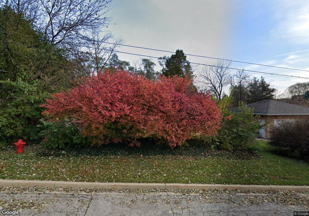
127 Deerpath Rd Algonquin, IL 60102
Merrill Algonquin Hills NeighborhoodEstimated Value: $338,000 - $363,000
3
Beds
2
Baths
1,365
Sq Ft
$256/Sq Ft
Est. Value
About This Home
This home is located at 127 Deerpath Rd, Algonquin, IL 60102 and is currently estimated at $349,276, approximately $255 per square foot. 127 Deerpath Rd is a home located in McHenry County with nearby schools including Eastview Elementary School, Algonquin Middle School, and Dundee-Crown High School.
Ownership History
Date
Name
Owned For
Owner Type
Purchase Details
Closed on
Dec 21, 1995
Sold by
Pulscher Debbijo
Bought by
Pulscher Robert H
Current Estimated Value
Create a Home Valuation Report for This Property
The Home Valuation Report is an in-depth analysis detailing your home's value as well as a comparison with similar homes in the area
Home Values in the Area
Average Home Value in this Area
Purchase History
| Date | Buyer | Sale Price | Title Company |
|---|---|---|---|
| Pulscher Robert H | -- | -- |
Source: Public Records
Tax History Compared to Growth
Tax History
| Year | Tax Paid | Tax Assessment Tax Assessment Total Assessment is a certain percentage of the fair market value that is determined by local assessors to be the total taxable value of land and additions on the property. | Land | Improvement |
|---|---|---|---|---|
| 2024 | $6,457 | $90,546 | $28,280 | $62,266 |
| 2023 | $6,109 | $80,982 | $25,293 | $55,689 |
| 2022 | $4,972 | $63,975 | $22,657 | $41,318 |
| 2021 | $4,756 | $59,601 | $21,108 | $38,493 |
| 2020 | $4,624 | $57,491 | $20,361 | $37,130 |
| 2019 | $4,502 | $55,026 | $19,488 | $35,538 |
| 2018 | $4,273 | $50,833 | $18,003 | $32,830 |
| 2017 | $4,171 | $47,888 | $16,960 | $30,928 |
| 2016 | $4,092 | $44,915 | $15,907 | $29,008 |
| 2013 | -- | $48,834 | $14,839 | $33,995 |
Source: Public Records
Map
Nearby Homes
- 1439 Lowe Dr
- 10401 Kenilworth Ave
- 925 N River Rd
- lot 021 Route 31 Hwy
- 620 Old Oak Cir
- 820 Red Coach Ln
- 14 Oxford Ct
- 1730 Tanglewood Dr
- 2008 Clematis Dr
- 903 Old Oak Cir
- 920 Plymouth Ct
- 911 Old Oak Cir Unit 1
- 1188 E Algonquin Rd
- 9416 3rd Ave
- 1011 Wesley Ln
- 600 E Algonquin Rd
- 0 River Dr N Unit MRD12473279
- 1659 E Algonquin Rd
- 2 Sunset Ln
- 715 Fox Trail Terrace
- 1621 Short St
- 1551 Seminole Rd
- 1608 Heather Dr
- 114 Deerpath Rd
- 150 Deerpath Rd
- 1545 Seminole Rd
- 1631 Short St
- 1612 Heather Dr
- 1614 Short St
- 1539 Seminole Rd
- 1562 N Harrison St
- 1630 Heather Dr
- 1538 Seminole Rd
- 1533 Seminole Rd
- 1550 N Harrison St
- 1636 Heather Dr
- 1638 Short St
- 1609 N Harrison St
- 1639 Short St
- 1544 N Harrison St Unit 2
