127 E Smith St Bridgeport, WV 26330
Estimated Value: $235,000 - $293,000
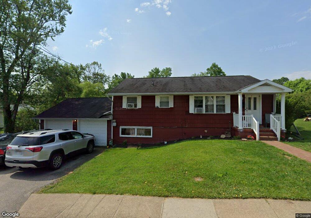
About This Home
This home is located at 127 E Smith St, Bridgeport, WV 26330 and is currently estimated at $266,139, approximately $165 per square foot. 127 E Smith St is a home located in Harrison County with nearby schools including Heritage Christian School and Dollie Hilll Christian Academy.
Ownership History
We collect this data history from publicly available records. To have your information removed, we recommend requesting removal directly through your county’s website.
Purchase Details
Purchase Details
Home Financials for this Owner
Home Financials are based on the most recent Mortgage that was taken out on this home.Home Values in the Area
Average Home Value in this Area
Purchase History
We collect this data history from publicly available records. To have your information removed, we recommend requesting removal directly through your county’s website.
| Date | Buyer | Sale Price | Title Company |
|---|---|---|---|
| $25,000 | Equity National Title | ||
| $155,000 | None Available |
Mortgage History
We collect this data history from publicly available records. To have your information removed, we recommend requesting removal directly through your county’s website.
| Date | Status | Borrower | Loan Amount |
|---|---|---|---|
| Open | $158,720 |
Tax History
We collect this data history from publicly available records. To have your information removed, we recommend requesting removal directly through your county’s website.
| Year | Tax Paid | Tax Assessment Tax Assessment Total Assessment is a certain percentage of the fair market value that is determined by local assessors to be the total taxable value of land and additions on the property. | Land | Improvement |
|---|---|---|---|---|
| 2025 | $1,512 | $99,240 | $29,040 | $70,200 |
| 2024 | $1,512 | $93,840 | $29,040 | $64,800 |
| 2023 | $1,413 | $88,560 | $29,040 | $59,520 |
| 2022 | $1,353 | $88,020 | $29,040 | $58,980 |
| 2021 | $1,392 | $91,440 | $29,040 | $62,400 |
| 2020 | $1,370 | $90,600 | $29,040 | $61,560 |
| 2019 | $1,365 | $90,300 | $29,040 | $61,260 |
| 2018 | $1,323 | $87,840 | $27,420 | $60,420 |
| 2017 | $1,302 | $86,700 | $27,420 | $59,280 |
| 2016 | $1,284 | $86,340 | $27,420 | $58,920 |
| 2015 | $1,258 | $83,280 | $25,800 | $57,480 |
| 2014 | $1,182 | $78,300 | $21,000 | $57,300 |
Map
- 244 Ross St
- 608 Worthington Dr
- 221 Broadway Ave
- 523 Lawman Ave
- 323 Lexington Cir
- 706 Willis Ave
- 423 Grand Ave
- 337 Stout St
- 125 Hill St
- 239 N Virginia Ave
- 111 Circle Dr
- 119 Geneva St
- TBD Pearcy Ave
- 702 Lawman Ave
- 227 Maple Ave
- 411 Oakdale Ave
- Lots 11 & 12 Hall Valley Ct
- Lots 9 & 10 Hall Valley Ct
- Lots 13 & 14 Hall Valley Ct
- TBD High Ave
- 123 E Smith St
- 119 E Smith St
- 126 Center Ct
- 115 E Smith St
- 124 Center Ct
- 126 E Smith St
- 175 Pennsylvania Ave
- 171 Pennsylvania Ave
- 122 Center Ct
- 122 E Smith St
- 203 Pennsylvania Ave
- 111 E Smith St
- 116 E Smith St
- 167 Pennsylvania Ave
- 111 Center Ct
- 111 Center Ct
- 109 E Smith St
- 202 Cherry St
- 112 E Smith St
- 170 Pennsylvania Ave
Ask me questions while you tour the home.