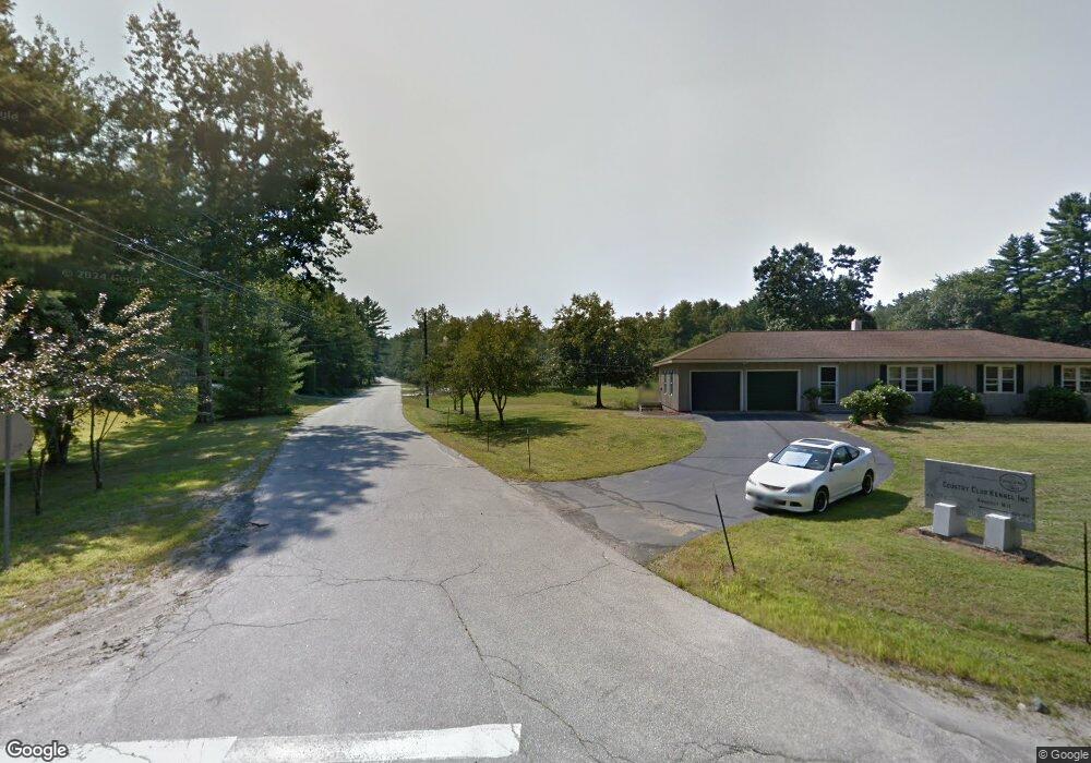
127 Hollis Rd Amherst, NH 03031
Estimated Value: $590,155 - $628,000
3
Beds
2
Baths
2,036
Sq Ft
$298/Sq Ft
Est. Value
About This Home
This home is located at 127 Hollis Rd, Amherst, NH 03031 and is currently estimated at $606,789, approximately $298 per square foot. 127 Hollis Rd is a home with nearby schools including Wilkins Elementary School, Amherst Middle School, and Souhegan Cooperative High School.
Ownership History
Date
Name
Owned For
Owner Type
Purchase Details
Closed on
Aug 23, 1999
Sold by
Lapierre Lucien G and Lapierre Patti A
Bought by
Osman Mirvat
Current Estimated Value
Home Financials for this Owner
Home Financials are based on the most recent Mortgage that was taken out on this home.
Original Mortgage
$138,000
Outstanding Balance
$39,502
Interest Rate
7.6%
Estimated Equity
$567,287
Create a Home Valuation Report for This Property
The Home Valuation Report is an in-depth analysis detailing your home's value as well as a comparison with similar homes in the area
Home Values in the Area
Average Home Value in this Area
Purchase History
| Date | Buyer | Sale Price | Title Company |
|---|---|---|---|
| Osman Mirvat | $172,500 | -- |
Source: Public Records
Mortgage History
| Date | Status | Borrower | Loan Amount |
|---|---|---|---|
| Open | Osman Mirvat | $138,000 |
Source: Public Records
Tax History Compared to Growth
Tax History
| Year | Tax Paid | Tax Assessment Tax Assessment Total Assessment is a certain percentage of the fair market value that is determined by local assessors to be the total taxable value of land and additions on the property. | Land | Improvement |
|---|---|---|---|---|
| 2024 | $8,168 | $356,200 | $129,400 | $226,800 |
| 2023 | $7,794 | $356,200 | $129,400 | $226,800 |
| 2022 | $7,529 | $356,300 | $129,400 | $226,900 |
| 2021 | $7,586 | $356,000 | $129,400 | $226,600 |
| 2020 | $7,584 | $266,300 | $103,500 | $162,800 |
| 2019 | $7,179 | $266,300 | $103,500 | $162,800 |
| 2018 | $7,251 | $266,300 | $103,500 | $162,800 |
| 2017 | $7,109 | $273,300 | $103,500 | $169,800 |
| 2016 | $6,714 | $267,500 | $103,500 | $164,000 |
| 2015 | $7,136 | $269,500 | $124,600 | $144,900 |
| 2014 | $7,185 | $269,500 | $124,600 | $144,900 |
| 2013 | $7,128 | $269,500 | $124,600 | $144,900 |
Source: Public Records
Map
Nearby Homes
- 16 Captain Danforth Ln
- 6 Veterans Rd Unit 15
- 8 Carriage Ln
- 12 Fairway Dr
- 2 Benning St
- 24 Deerwood Dr
- 77 Mooar Hill Rd
- 377 Nashua St
- 0 Claude Rd
- 148 County Rd
- 150 County Rd Unit 4-142-8
- 150 County Rd
- 9 Northfield Rd
- 2 County Rd
- 11 Souhegan St
- 36 Berkeley Place
- 101-2 Seaverns Bridge Rd
- 686 Route 13 S
- 103 Seaverns Bridge Rd
- 1 County Rd