127 Maple Grove Rd Madison, NH 03849
Estimated Value: $512,078 - $1,363,000
3
Beds
2
Baths
2,109
Sq Ft
$354/Sq Ft
Est. Value
About This Home
This home is located at 127 Maple Grove Rd, Madison, NH 03849 and is currently estimated at $746,770, approximately $354 per square foot. 127 Maple Grove Rd is a home with nearby schools including Madison Elementary School.
Ownership History
Date
Name
Owned For
Owner Type
Purchase Details
Closed on
Feb 6, 2015
Sold by
Jones Thomas A and Jones Maragaret B
Bought by
Jones Ft
Current Estimated Value
Purchase Details
Closed on
Dec 31, 2009
Sold by
Jones Carol E
Bought by
Jones Thomas A
Home Financials for this Owner
Home Financials are based on the most recent Mortgage that was taken out on this home.
Original Mortgage
$201,375
Interest Rate
4.85%
Mortgage Type
Purchase Money Mortgage
Create a Home Valuation Report for This Property
The Home Valuation Report is an in-depth analysis detailing your home's value as well as a comparison with similar homes in the area
Home Values in the Area
Average Home Value in this Area
Purchase History
| Date | Buyer | Sale Price | Title Company |
|---|---|---|---|
| Jones Ft | -- | -- | |
| Jones Thomas A | $315,000 | -- |
Source: Public Records
Mortgage History
| Date | Status | Borrower | Loan Amount |
|---|---|---|---|
| Previous Owner | Jones Thomas A | $201,375 |
Source: Public Records
Tax History Compared to Growth
Tax History
| Year | Tax Paid | Tax Assessment Tax Assessment Total Assessment is a certain percentage of the fair market value that is determined by local assessors to be the total taxable value of land and additions on the property. | Land | Improvement |
|---|---|---|---|---|
| 2024 | $4,547 | $288,361 | $102,561 | $185,800 |
| 2023 | $4,896 | $288,335 | $102,535 | $185,800 |
| 2022 | $4,070 | $262,782 | $57,682 | $205,100 |
| 2021 | $3,621 | $262,960 | $57,860 | $205,100 |
| 2020 | $4,023 | $262,963 | $57,863 | $205,100 |
| 2019 | $4,108 | $224,953 | $56,853 | $168,100 |
| 2018 | $4,257 | $224,886 | $56,786 | $168,100 |
| 2017 | $3,798 | $224,752 | $56,652 | $168,100 |
| 2015 | $3,656 | $221,453 | $56,553 | $164,900 |
| 2014 | $3,794 | $237,743 | $58,343 | $179,400 |
| 2013 | $3,752 | $237,790 | $58,390 | $179,400 |
Source: Public Records
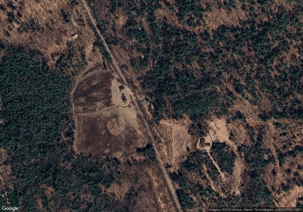
Map
Nearby Homes
- 238-1-1 Maple Grove Rd
- 238-1-1.2 Maple Grove Rd
- 238-1-1.3 Maple Grove Rd
- 00 Mooney Hill Rd
- 2160 Village Rd
- 65 Conway Rd
- 0 Conway Rd Unit 107
- 46 Red Pine Rd
- 62 Colby Hill Rd
- TBD Youngs Rd
- TBD Youngs Rd
- TBD Youngs Rd
- 70 Peak Vista Ln
- 126 Forest Pines Rd
- 121 Charlotte Point Rd
- 44 Regent Hill Rd
- 25 Aspen Dr
- 1311 Village Rd
- 00 Brownfield Rd
- 00 Brownfield Rd Unit 31
- 219 Maple Grove Rd
- 263 Maple Grove Rd
- 120 Maple Grove Rd
- 16 Ash Ln
- 30 Maple Grove Rd
- 602 Pound Rd
- 6 Ash Ln
- 0 Maple Grove Rd Unit 5029455
- 0 Maple Grove Rd Unit 5009166
- 0 Maple Grove Rd Unit 4855051
- 0 Maple Grove Rd Unit 4376878
- 0 Maple Grove Rd Unit Map: 238; Lot 6.1
- 360 Maple Grove Rd
- 434 Pound Rd
- 111 Finch Rd
- 640 Pound Rd
- 613 Pound Rd
- 412 Pound Rd
- 400 Maple Grove Rd
- 448 Maple Grove Rd