Estimated Value: $966,000 - $1,177,000
3
Beds
2
Baths
1,806
Sq Ft
$617/Sq Ft
Est. Value
About This Home
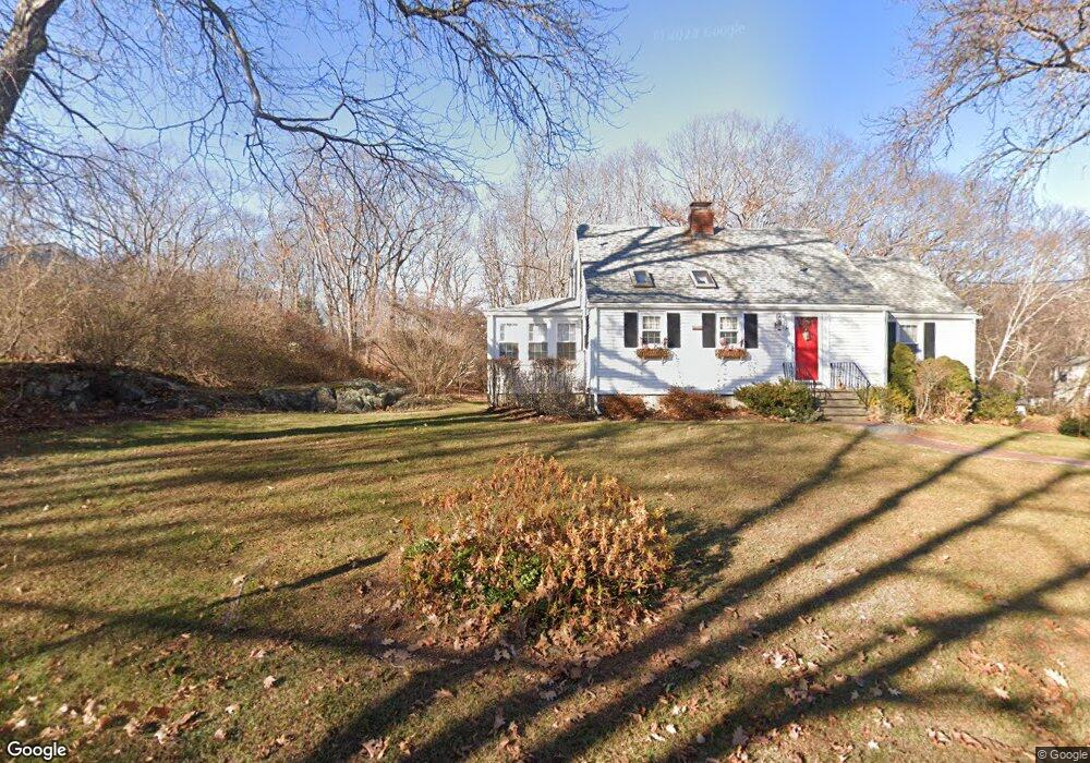
This home is located at 127 Parsons Rd, Rye, NH 03870 and is currently estimated at $1,114,255, approximately $616 per square foot. 127 Parsons Rd is a home located in Rockingham County with nearby schools including Rye Elementary School, Rye Junior High School, and St Patrick School.
Ownership History
Date
Name
Owned For
Owner Type
Purchase Details
Closed on
Sep 30, 2008
Sold by
Mary Louise Degnan T? and Mary Weathersby
Bought by
Karabatsos Lewis T and Karabatsos Susan C
Current Estimated Value
Home Financials for this Owner
Home Financials are based on the most recent Mortgage that was taken out on this home.
Original Mortgage
$225,000
Interest Rate
6.57%
Mortgage Type
Purchase Money Mortgage
Purchase Details
Closed on
Oct 3, 1996
Sold by
Epstein Roger M
Bought by
Degnan Robert A and Degnan Mary L
Home Financials for this Owner
Home Financials are based on the most recent Mortgage that was taken out on this home.
Original Mortgage
$172,800
Interest Rate
7.9%
Mortgage Type
Purchase Money Mortgage
Create a Home Valuation Report for This Property
The Home Valuation Report is an in-depth analysis detailing your home's value as well as a comparison with similar homes in the area
Home Values in the Area
Average Home Value in this Area
Purchase History
| Date | Buyer | Sale Price | Title Company |
|---|---|---|---|
| Karabatsos Lewis T | $460,000 | -- | |
| Degnan Robert A | $215,500 | -- |
Source: Public Records
Mortgage History
| Date | Status | Borrower | Loan Amount |
|---|---|---|---|
| Open | Degnan Robert A | $224,400 | |
| Closed | Degnan Robert A | $225,000 | |
| Previous Owner | Degnan Robert A | $172,800 |
Source: Public Records
Tax History
| Year | Tax Paid | Tax Assessment Tax Assessment Total Assessment is a certain percentage of the fair market value that is determined by local assessors to be the total taxable value of land and additions on the property. | Land | Improvement |
|---|---|---|---|---|
| 2024 | $6,852 | $791,200 | $547,800 | $243,400 |
| 2023 | $6,353 | $791,200 | $547,800 | $243,400 |
| 2022 | $5,523 | $791,200 | $547,800 | $243,400 |
| 2021 | $5,044 | $493,500 | $320,400 | $173,100 |
| 2020 | $5,044 | $493,500 | $320,400 | $173,100 |
| 2019 | $5,034 | $492,600 | $320,400 | $172,200 |
| 2018 | $5,441 | $492,600 | $320,400 | $172,200 |
| 2017 | $4,980 | $492,600 | $320,400 | $172,200 |
| 2016 | $4,488 | $420,200 | $248,000 | $172,200 |
| 2013 | $4,604 | $419,700 | $248,000 | $171,700 |
Source: Public Records
Map
Nearby Homes
- 763 Ocean Blvd
- 1193 Ocean Blvd
- 1215 Ocean Blvd Unit 5
- 267 Pioneer Rd
- 137 Clark Rd
- 236 Sagamore Rd
- 389 Sagamore Rd
- 46 Fowler Dr
- 14 Sagamore Rd Unit 3
- 4 Sagamore Rd
- 104 Odiorne Point Rd
- 1191 - 1193 Ocean Blvd
- 239 Gosport Rd
- 1155 Sagamore Ave Unit 2
- 1155 Sagamore Ave Unit 3
- 1591 Ocean Blvd
- 75 Marina Heights Rd
- 1643 Ocean Blvd
- 579 Sagamore Ave Unit 60
- 17 Lavenger Ln
Your Personal Tour Guide
Ask me questions while you tour the home.