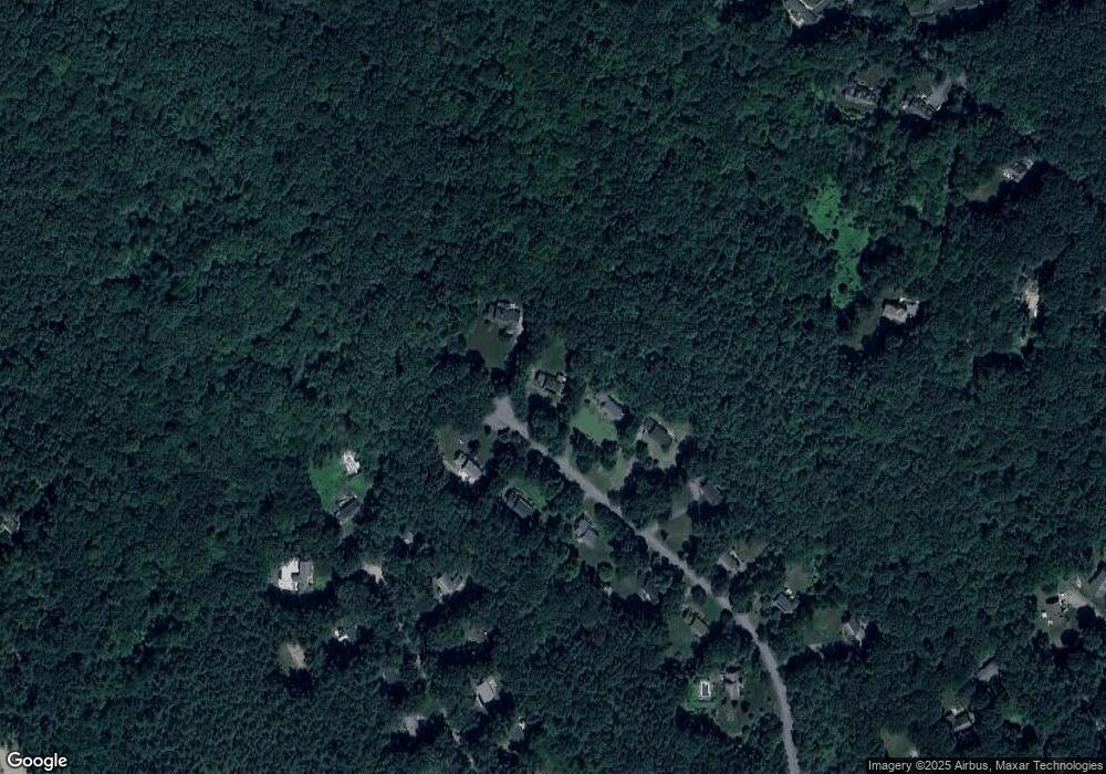
127 Patch Hill Rd Boxborough, MA 01719
Estimated Value: $906,000 - $1,155,000
3
Beds
3
Baths
2,400
Sq Ft
$413/Sq Ft
Est. Value
About This Home
This home is located at 127 Patch Hill Rd, Boxborough, MA 01719 and is currently estimated at $991,581, approximately $413 per square foot. 127 Patch Hill Rd is a home located in Middlesex County with nearby schools including Acton-Boxborough Regional High School.
Ownership History
Date
Name
Owned For
Owner Type
Purchase Details
Closed on
Jul 21, 2015
Sold by
Pespisa John J and Pespisa Kathleen A
Bought by
John and John Kathleen Pespisa
Current Estimated Value
Purchase Details
Closed on
Dec 10, 1993
Sold by
Compass Bldrs Inc
Bought by
Pespisa John J and Pespisa Kathleen A
Home Financials for this Owner
Home Financials are based on the most recent Mortgage that was taken out on this home.
Original Mortgage
$130,000
Interest Rate
6.78%
Mortgage Type
Purchase Money Mortgage
Create a Home Valuation Report for This Property
The Home Valuation Report is an in-depth analysis detailing your home's value as well as a comparison with similar homes in the area
Home Values in the Area
Average Home Value in this Area
Purchase History
| Date | Buyer | Sale Price | Title Company |
|---|---|---|---|
| John | -- | -- | |
| John | -- | -- | |
| John | -- | -- | |
| Pespisa John J | $313,913 | -- | |
| Pespisa John J | $313,913 | -- |
Source: Public Records
Mortgage History
| Date | Status | Borrower | Loan Amount |
|---|---|---|---|
| Previous Owner | Pespisa John J | $30,000 | |
| Previous Owner | Pespisa John J | $130,000 | |
| Closed | Pespisa John J | $30,000 |
Source: Public Records
Tax History Compared to Growth
Tax History
| Year | Tax Paid | Tax Assessment Tax Assessment Total Assessment is a certain percentage of the fair market value that is determined by local assessors to be the total taxable value of land and additions on the property. | Land | Improvement |
|---|---|---|---|---|
| 2025 | $14,309 | $945,100 | $293,900 | $651,200 |
| 2024 | $13,238 | $883,100 | $282,500 | $600,600 |
| 2023 | $12,695 | $818,000 | $254,600 | $563,400 |
| 2022 | $12,229 | $702,000 | $254,600 | $447,400 |
| 2020 | $11,057 | $661,300 | $254,600 | $406,700 |
| 2019 | $10,859 | $661,300 | $254,600 | $406,700 |
| 2018 | $10,298 | $626,400 | $242,600 | $383,800 |
| 2017 | $10,269 | $610,900 | $242,600 | $368,300 |
| 2016 | $9,757 | $596,400 | $242,600 | $353,800 |
| 2015 | -- | $589,800 | $242,100 | $347,700 |
| 2014 | $9,926 | $561,100 | $239,700 | $321,400 |
Source: Public Records
Map
Nearby Homes
- 139 Picnic St
- 14 Leonard Rd
- Lot 2 Strawberry Farm
- 605 Stow Rd
- 58 Spencer Rd Unit 18K
- 50 Spencer Rd Unit 36
- 5 Elm St Unit 1
- 53 Swanson Ct Unit 36C
- 4 Huron Rd
- 220 Swanson Rd Unit 605
- 220 Swanson Rd Unit 606
- 220 Swanson Rd Unit 604
- 285 Central St Unit 285
- 305 Harwood Ave
- 4 Omega Way
- 92 Willow St Unit 3
- 92 Willow St Unit 2
- 90 Willow St Unit 1
- 146 Tahattawan Rd
- 310 Codman Hill Rd Unit 35D
- 113 Patch Hill Rd
- 145 Patch Hill Rd
- 140 Patch Hill Rd
- 97 Patch Hill Rd
- 120 Patch Hill Rd
- 96 Patch Hill Rd
- 85 Patch Hill Rd
- 105 Prescott Rd
- 93 Prescott Rd
- 80 Patch Hill Rd
- 111 Prescott Rd
- 71 Patch Hill Rd
- 79 Prescott Rd
- 62 Patch Hill Rd
- 65 Prescott Rd
- 55 Patch Hill Rd
- 94 Prescott Rd
- 80 Prescott Rd
- 706 Liberty Square Rd
- 34 Patch Hill Rd
