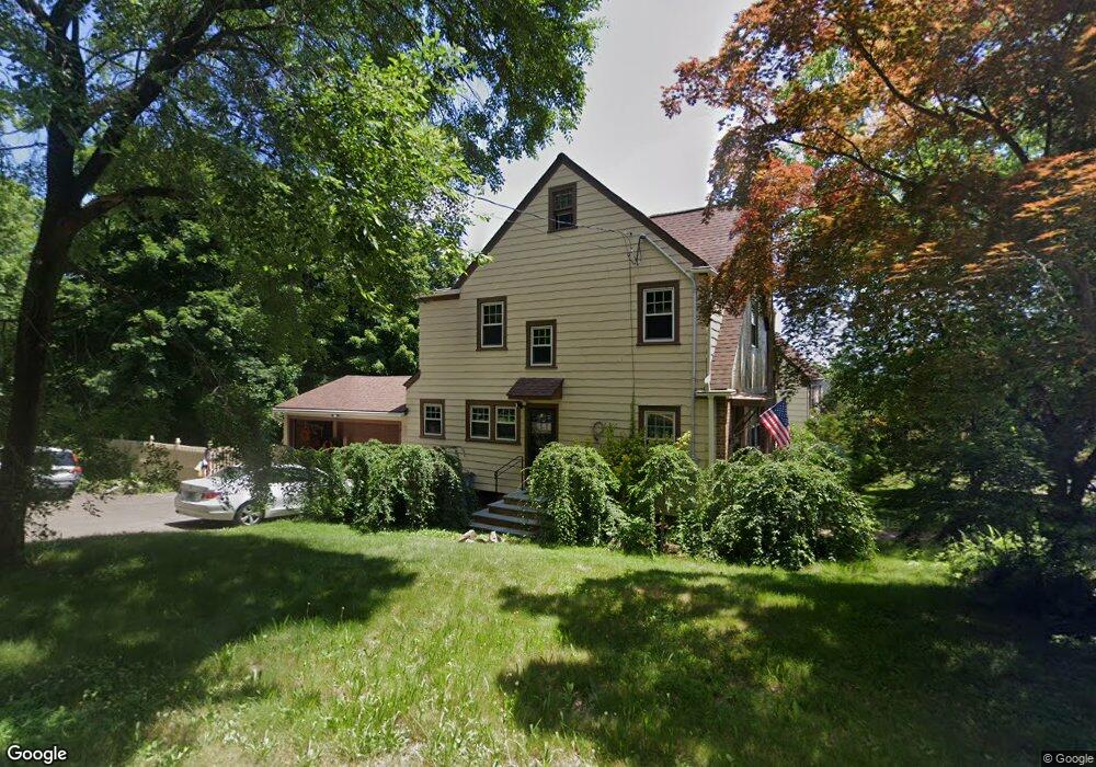
127 Roger Rd New Haven, CT 06515
Westville NeighborhoodEstimated Value: $484,440 - $601,000
4
Beds
2
Baths
1,710
Sq Ft
$311/Sq Ft
Est. Value
About This Home
This home is located at 127 Roger Rd, New Haven, CT 06515 and is currently estimated at $532,360, approximately $311 per square foot. 127 Roger Rd is a home located in New Haven County with nearby schools including Edgewood Creative Thinking through STEAM Magnet School and Hopkins School.
Ownership History
Date
Name
Owned For
Owner Type
Purchase Details
Closed on
Jul 15, 1985
Bought by
Loxsom John T and Witkvitch Christine A
Current Estimated Value
Create a Home Valuation Report for This Property
The Home Valuation Report is an in-depth analysis detailing your home's value as well as a comparison with similar homes in the area
Home Values in the Area
Average Home Value in this Area
Purchase History
| Date | Buyer | Sale Price | Title Company |
|---|---|---|---|
| Loxsom John T | $115,000 | -- |
Source: Public Records
Mortgage History
| Date | Status | Borrower | Loan Amount |
|---|---|---|---|
| Open | Loxsom John T | $204,000 | |
| Closed | Loxsom John T | $204,000 | |
| Closed | Loxsom John T | $21,700 | |
| Closed | Loxsom John T | $112,000 |
Source: Public Records
Tax History
| Year | Tax Paid | Tax Assessment Tax Assessment Total Assessment is a certain percentage of the fair market value that is determined by local assessors to be the total taxable value of land and additions on the property. | Land | Improvement |
|---|---|---|---|---|
| 2025 | $8,751 | $222,110 | $73,640 | $148,470 |
| 2024 | $8,551 | $222,110 | $73,640 | $148,470 |
| 2023 | $8,262 | $222,110 | $73,640 | $148,470 |
| 2022 | $8,829 | $222,110 | $73,640 | $148,470 |
| 2021 | $8,438 | $192,290 | $57,400 | $134,890 |
| 2020 | $8,438 | $192,290 | $57,400 | $134,890 |
| 2019 | $8,265 | $192,290 | $57,400 | $134,890 |
| 2018 | $8,265 | $192,290 | $57,400 | $134,890 |
| 2017 | $7,438 | $192,290 | $57,400 | $134,890 |
| 2016 | $8,295 | $199,640 | $67,970 | $131,670 |
| 2015 | $8,295 | $199,640 | $67,970 | $131,670 |
| 2014 | $8,295 | $199,640 | $67,970 | $131,670 |
Source: Public Records
Map
Nearby Homes
- 362 Oliver Rd
- 56 Roger Rd
- 2095 Chapel St
- 690 Forest Rd Unit 703
- 690 Forest Rd Unit 761
- 690 Forest Rd Unit 501
- 690 Forest Rd Unit 651
- 119 Westwood Rd
- 11 Priscilla Rd
- 55 Marvel Rd
- 420 Central Ave
- 252 Alden Ave
- 6 Barnett St
- 50 Morris Ave
- 224 Ray Rd
- 508 Yale Ave
- 70 Judwin Ave
- 143 Fountain St Unit A11
- 595 Central Ave
- 17 Davis St
Your Personal Tour Guide
Ask me questions while you tour the home.