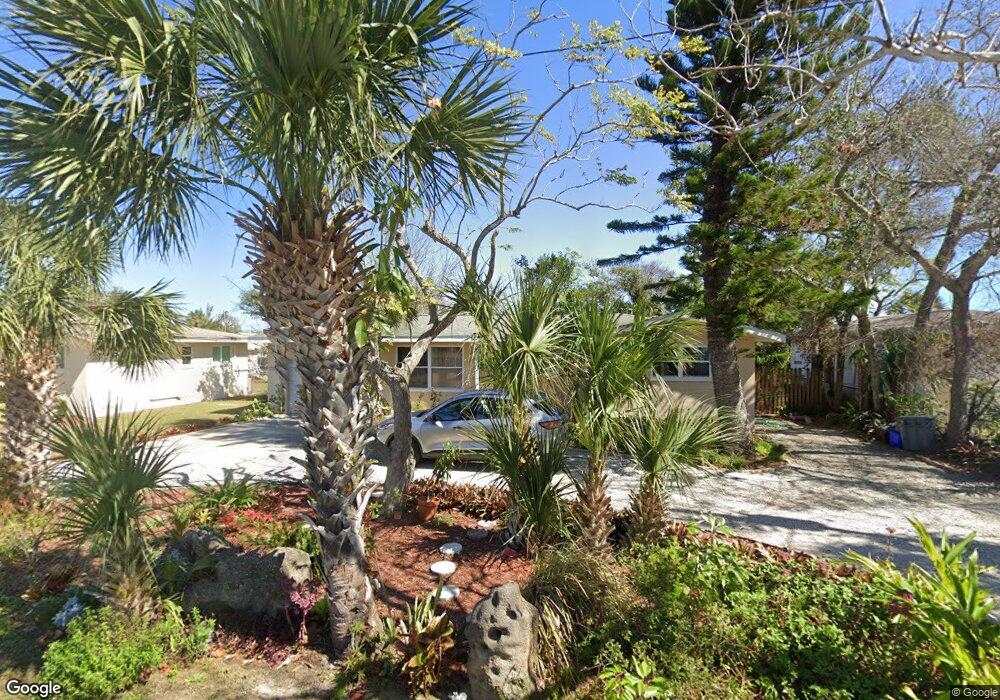
127 Seton Trail Ormond Beach, FL 32176
Estimated Value: $249,000 - $321,000
3
Beds
2
Baths
1,324
Sq Ft
$220/Sq Ft
Est. Value
About This Home
This home is located at 127 Seton Trail, Ormond Beach, FL 32176 and is currently estimated at $291,507, approximately $220 per square foot. 127 Seton Trail is a home located in Volusia County with nearby schools including Ormond Beach Middle School, Seabreeze High School, and St Brendan Catholic School.
Ownership History
Date
Name
Owned For
Owner Type
Purchase Details
Closed on
Jun 18, 2010
Sold by
Suntrust Mortgage Inc
Bought by
Ferris Walter J and Au Ferris Sokha
Current Estimated Value
Home Financials for this Owner
Home Financials are based on the most recent Mortgage that was taken out on this home.
Original Mortgage
$85,000
Outstanding Balance
$56,139
Interest Rate
4.91%
Mortgage Type
Seller Take Back
Estimated Equity
$235,368
Purchase Details
Closed on
Nov 4, 2009
Sold by
Macleran Thomas G and Macleran Franci
Bought by
Suntrust Mortgage Inc
Purchase Details
Closed on
Nov 27, 2002
Sold by
Eastwood Joyce G
Bought by
Macleran Thomas G and Macleran Francie
Home Financials for this Owner
Home Financials are based on the most recent Mortgage that was taken out on this home.
Original Mortgage
$113,850
Interest Rate
6.3%
Purchase Details
Closed on
Feb 15, 1991
Bought by
Au Ferris Walter J and Au Ferris Sokha
Create a Home Valuation Report for This Property
The Home Valuation Report is an in-depth analysis detailing your home's value as well as a comparison with similar homes in the area
Home Values in the Area
Average Home Value in this Area
Purchase History
| Date | Buyer | Sale Price | Title Company |
|---|---|---|---|
| Ferris Walter J | $106,500 | Smart Title & Settlement Ser | |
| Suntrust Mortgage Inc | -- | Attorney | |
| Macleran Thomas G | $126,500 | -- | |
| Au Ferris Walter J | $62,900 | -- |
Source: Public Records
Mortgage History
| Date | Status | Borrower | Loan Amount |
|---|---|---|---|
| Open | Ferris Walter J | $85,000 | |
| Previous Owner | Macleran Thomas G | $113,850 |
Source: Public Records
Tax History
| Year | Tax Paid | Tax Assessment Tax Assessment Total Assessment is a certain percentage of the fair market value that is determined by local assessors to be the total taxable value of land and additions on the property. | Land | Improvement |
|---|---|---|---|---|
| 2026 | $4,170 | $272,278 | $162,611 | $109,667 |
| 2025 | $4,170 | $272,927 | $162,611 | $110,316 |
| 2024 | $3,670 | $294,985 | $162,611 | $132,374 |
| 2023 | $3,670 | $267,551 | $95,018 | $172,533 |
| 2022 | $3,148 | $206,247 | $79,568 | $126,679 |
| 2021 | $3,044 | $182,614 | $64,890 | $117,724 |
| 2020 | $2,692 | $152,909 | $60,000 | $92,909 |
| 2019 | $2,578 | $145,231 | $54,375 | $90,856 |
| 2018 | $2,456 | $134,639 | $51,750 | $82,889 |
| 2017 | $2,374 | $128,468 | $51,750 | $76,718 |
| 2016 | $2,202 | $111,272 | $0 | $0 |
| 2015 | $2,208 | $107,454 | $0 | $0 |
| 2014 | $2,009 | $97,325 | $0 | $0 |
Source: Public Records
Map
Nearby Homes
- 65 Seton Trail Unit 8
- 156 Bosarvey Dr
- 39 Willis Dr
- 65 Coquina Dr
- 111 S Atlantic Ave Unit 702
- 111 S Atlantic Ave Unit 1104
- 89 S Atlantic Ave Unit 401
- 89 S Atlantic Ave Unit 204
- 89 S Atlantic Ave Unit 404
- 89 S Atlantic Ave Unit 1006
- 89 S Atlantic Ave Unit 1004
- 89 S Atlantic Ave Unit 103
- 1 John Anderson Dr Unit 205
- 1 John Anderson Dr Unit 604
- 1 John Anderson Dr Unit 303
- 1 John Anderson Dr Unit 3010
- 1 John Anderson Dr Unit 4120
- 1 John Anderson Dr Unit 301
- 1 John Anderson Dr Unit 412
- 123 Arlington Way
- 119 Seton Trail
- 135 Seton Trail
- 112 Bosarvey Dr
- 143 Seton Trail
- 111 Seton Trail
- 130 Seton Trail
- 116 Bosarvey Dr
- 134 Seton Trail
- 120 Bosarvey Dr
- 80 Bosarvey Dr
- 152 Seton Trail
- 130 Bosarvey Dr
- 105 Bosarvey Dr
- 127 S Halifax Dr
- 115 Bosarvey Dr
- 133 S Halifax Dr
- 141 S Halifax Dr
- 119 Bosarvey Dr
- 87 Bosarvey Dr
- 113 S Halifax Dr
Your Personal Tour Guide
Ask me questions while you tour the home.