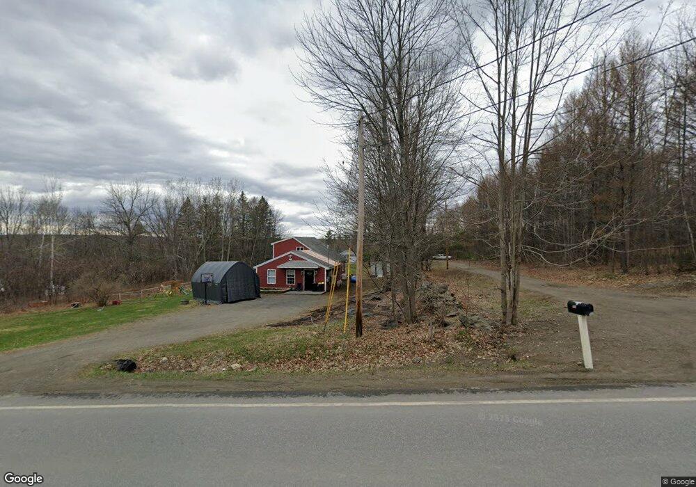
127 Stetson Rd W Levant, ME 04456
Estimated Value: $353,000 - $430,613
3
Beds
2
Baths
1,644
Sq Ft
$233/Sq Ft
Est. Value
About This Home
This home is located at 127 Stetson Rd W, Levant, ME 04456 and is currently estimated at $382,653, approximately $232 per square foot. 127 Stetson Rd W is a home with nearby schools including Suzanne M. Smith Elementary School and Caravel Middle School.
Ownership History
Date
Name
Owned For
Owner Type
Purchase Details
Closed on
Jul 25, 2025
Sold by
Mcneer Charles Kent Est and Brooks
Bought by
Neal Chad
Current Estimated Value
Purchase Details
Closed on
Apr 3, 2014
Sold by
Reese Co
Bought by
Neal Chad E
Home Financials for this Owner
Home Financials are based on the most recent Mortgage that was taken out on this home.
Original Mortgage
$152,040
Interest Rate
4.33%
Mortgage Type
Unknown
Purchase Details
Closed on
Oct 12, 2012
Sold by
Reese Co
Bought by
Ramsey Barry A and Ramsey Mary A
Purchase Details
Closed on
Sep 20, 2012
Sold by
Pellscot Llc
Bought by
Reese Co
Create a Home Valuation Report for This Property
The Home Valuation Report is an in-depth analysis detailing your home's value as well as a comparison with similar homes in the area
Home Values in the Area
Average Home Value in this Area
Purchase History
| Date | Buyer | Sale Price | Title Company |
|---|---|---|---|
| Neal Chad | $13,500 | -- | |
| Neal Chad | $13,500 | -- | |
| Neal Chad E | -- | -- | |
| Neal Chad E | -- | -- | |
| Ramsey Barry A | -- | -- | |
| Ramsey Barry A | -- | -- | |
| Reese Co | -- | -- | |
| Reese Co | -- | -- |
Source: Public Records
Mortgage History
| Date | Status | Borrower | Loan Amount |
|---|---|---|---|
| Previous Owner | Neal Chad E | $152,040 |
Source: Public Records
Tax History Compared to Growth
Tax History
| Year | Tax Paid | Tax Assessment Tax Assessment Total Assessment is a certain percentage of the fair market value that is determined by local assessors to be the total taxable value of land and additions on the property. | Land | Improvement |
|---|---|---|---|---|
| 2024 | $3,390 | $308,200 | $45,500 | $262,700 |
| 2023 | $3,337 | $284,000 | $45,500 | $238,500 |
| 2022 | $3,369 | $192,500 | $35,000 | $157,500 |
| 2021 | $3,369 | $192,500 | $35,000 | $157,500 |
| 2020 | $3,369 | $192,500 | $35,000 | $157,500 |
| 2019 | $2,888 | $192,500 | $35,000 | $157,500 |
| 2018 | $2,696 | $192,600 | $35,000 | $157,600 |
| 2017 | $2,407 | $178,300 | $35,000 | $143,300 |
| 2016 | $2,229 | $178,300 | $35,000 | $143,300 |
| 2015 | $2,229 | $178,300 | $35,000 | $143,300 |
| 2014 | $2,229 | $178,300 | $35,000 | $143,300 |
Source: Public Records
Map
Nearby Homes
- 129 Stetson Rd W
- 139 Stetson Rd W
- 123 Stetson Rd W
- 151 Stetson Rd W
- 109 Stetson Rd W
- 150 Stetson Rd W
- 104 Stetson Rd W
- 104 Stetson Rd W
- 91 Stetson Rd W
- 86 Stetson Rd W
- 81 Stetson Rd W
- 80 Stetson Rd W
- 76 Stetson Rd W
- 59 Levant Heights Dr
- 51 Levant Heights Dr
- 35 John Deere Ln E
- 34 John Deere Ln E
- 63 Stetson Rd W
- 46 Levant Heights Dr